Jet-powered Geran-3 drone reported crossing Chornobyl zone toward Zhytomyr Oblast
What happened
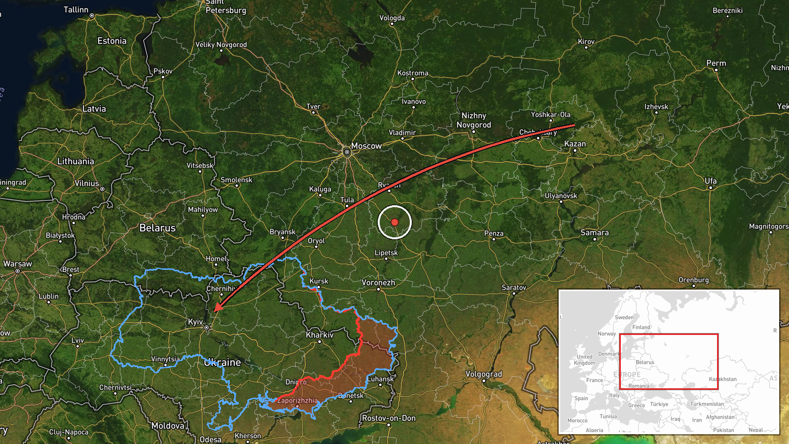
Ukrainian air monitoring reported one Russian jet-powered Shahed-type drone, identified as a Geran-3, passing through the Chornobyl Nuclear Power Plant exclusion zone on a course toward Zhytomyr Oblast. The report was published at 02:50 UTC on 18 October 2026. The original Ukrainian-language post describes a jet-powered unmanned aerial vehicle moving along that heading toward the Zhytomyr region. The report does not state the drone's altitude or speed, whether it was tracked to a specific target, or whether any impact, casualty, or damage occurred. Russia is named as the actor. Because the source is a single Telegram channel, these details are presented as reported rather than independently verified.
Context and assessment
Zhytomyr Oblast lies on a northwestern approach toward Kyiv, and the Chornobyl exclusion zone to its north is a sparsely populated corridor that drones have used for routing. The related reports in the Intel Mapper record show a recurring pattern over roughly two days. On 17 October, at 03:37, 04:15, and 08:00 UTC, Ukrainian air monitoring logged Shahed-type drones passing Zhytomyr Oblast or heading toward Zhytomyr, and the 04:15 report specifically identified a Geran-3 jet-powered variant. On 18 October at 02:04 UTC, a Shahed-type drone was reported moving from Kyiv Oblast toward Korostyshiv, a town in the same general corridor. The 02:50 report fits this sequence of repeated transits through the same oblast. Operationally, such a pattern may indicate routing toward targets further west or north, reconnaissance of air defence coverage, or drones diverted from other axes, though these reports alone do not establish intent. The jet-powered designation matters for interceptor planning because these variants are generally faster than piston-engine Shaheds. Each entry is a transit report rather than a confirmed strike.
Sources and confidence
The report comes from one channel, Telegram @kpszsu, which is associated with Ukraine's Air Force and is widely used for air-alert and drone-tracking updates. No second outlet, wire service, or official statement in the record independently confirms this transit, so cross-confirmation is absent. The recorded confidence score of 8.0 reflects the channel's established role and the specific, time-stamped wording, but it is held below the top range because of the single-source basis. Confidence would rise if a second Ukrainian air command statement, a regional military administration post, or radar-based reporting confirmed the track. It would fall if the channel issued a correction or later tracking placed the drone elsewhere.
Location
The location is recorded at region precision, so the coordinates 50.25 and 28.66 approximate Zhytomyr Oblast rather than a specific settlement or facility, and location confidence is low. These coordinates coincide with the city of Zhytomyr, so they should be read as a placeholder for the oblast rather than a pinpoint. The oblast lies within Polissia, a forested and marshy lowland, and the Chornobyl exclusion zone sits to its north near the Belarus border. The Teteriv River flows through Zhytomyr city.
Related events nearby
- Ukrainian air monitoring: 1 Russian Shahed-type drone heading toward Zhytomyr.2026-10-18 02:04 UTC · Drone Transit · Zhytomyr, Ukraine
- Ukrainian air monitoring: 1 Russian Shahed-type drone passing Zhytomyr Oblast, heading west.2026-10-17 08:00 UTC · Drone Transit · Zhytomyr Oblast, Ukraine
- Ukrainian air monitoring: 1 Russian jet-powered Shahed (Geran-3) drone heading toward Zhytomyr.2026-10-17 04:15 UTC · Drone Transit · Zhytomyr, Ukraine
- Ukrainian air monitoring: 1 Russian Shahed-type drone passing Zhytomyr Oblast, heading west.2026-10-17 03:37 UTC · Drone Transit · Zhytomyr Oblast, Ukraine
- Ukrainian air monitoring: 1 Russian Shahed-type drone from Kyiv Oblast toward Korostyshiv.2026-10-18 02:04 UTC · Drone Transit · Korostyshiv, Ukraine
▶ View this event on the live map

Intel Mapper aggregates open-source reports from monitored Telegram and X channels, geolocates them, cross-checks duplicates across sources and assigns a confidence score. Entries are updated as new confirmations arrive. Read how we verify events.