Ukrainian monitoring reports Shahed-type drones heading toward Sumy and Kharkiv on 19 October
What happened
Ukrainian air monitoring channel @kpszsu reported at about 03:02 UTC on 19 October 2026 that one Russian Shahed-type drone was heading toward Sumy from the north, and a second was tracking toward Kharkiv from the south. The original Ukrainian-language posts use the term БпЛА, meaning unmanned aerial vehicle, and describe the direction of travel rather than any impact. The report does not mention explosions, damage, casualties, or interception. The alert is one of several Shahed-type transit notices logged in the Sumy area over the preceding day, and the source attributes the drones to Russia. Because the report concerns movement only, it records an airborne threat rather than a confirmed strike.
Context and assessment
Sumy sits close to the Russia-Ukraine border and has been a recurring focus of cross-border fire and drone activity since 2024, making repeated transit alerts there a routine feature of the northeastern front. Kharkiv, further east, has long been a major target for long-range drones and glide bombs because of its size, industrial base, and rail links. The related events show a steady rhythm: a Shahed-type drone heading toward Sumy on 18 October, another at 02:41 UTC on 19 October, and a glide bomb (KAB) reported over northern Kharkiv Oblast and heading toward Sumy Oblast on the same day. Taken together, the pattern suggests coordinated pressure on both oblasts within a short window. Operationally, paired inbound drones from different directions may be intended to saturate air defenses or to probe response times, though the data alone cannot establish intent. Nothing in the record indicates the drones' final targets.
Sources and confidence
The report rests on a single Telegram channel, @kpszsu, which is the official Ukrainian air force-linked monitoring account and typically posts timely airspace warnings. No second outlet in the event data corroborates the individual drone sightings, though the related events from the same channel and area form a consistent pattern. The confidence score of 8.0 reflects the channel's official status and the specificity of direction and type, offset by the absence of independent confirmation and the single-source basis. Confidence would rise with corroboration from regional authorities, air force statements, or imagery of impacts, and would fall if later updates revise the drone count, the heading, or the threat's classification.
Location
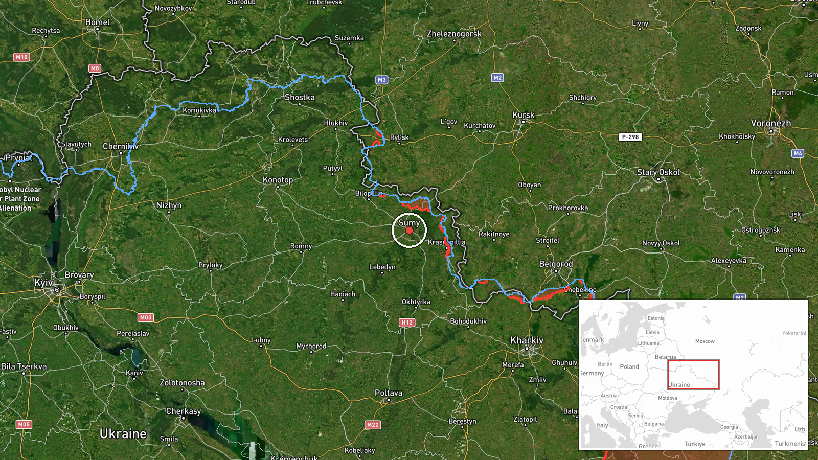
The coordinates are placed at the centre of Sumy city, a settlement-level determination matching the report's named location with high location confidence. Sumy lies in northeastern Ukraine on the Psel River, near the Russian border, in an agricultural and forested landscape of the Sumy Oblast. The Kharkiv reference is not separately geolocated in this record. Users should treat the point as the reported city rather than a precise flight path or target site.
Related events nearby
- Ukrainian air monitoring: 1 Russian Shahed-type drone heading toward Sumy.2026-10-19 02:41 UTC · Drone Transit · Sumy, Ukraine
- Ukrainian air monitoring: 1 Russian Shahed-type drone heading toward Sumy.2026-10-18 05:59 UTC · Drone Transit · Sumy, Ukraine
- Ukrainian air monitoring: 1 Russian guided glide bomb (KAB) heading toward Sumy Oblast.2026-10-18 05:16 UTC · Airstrike · Sumy Oblast, Ukraine
- Ukrainian air monitoring: 1 Russian guided glide bomb (KAB) over northern Kharkiv Oblast.2026-10-18 05:38 UTC · Airstrike · northern Kharkiv Oblast, Ukraine
- Ukrainian air monitoring: 1 Russian jet-powered Shahed (Geran-3) drone heading toward Valky.2026-10-18 07:50 UTC · Drone Transit · Valky, Ukraine
▶ View this event on the live map

Intel Mapper aggregates open-source reports from monitored Telegram and X channels, geolocates them, cross-checks duplicates across sources and assigns a confidence score. Entries are updated as new confirmations arrive. Read how we verify events.