Jet-powered Shahed drone reported heading toward Krasiatychi, Kyiv Oblast, from the east
What happened
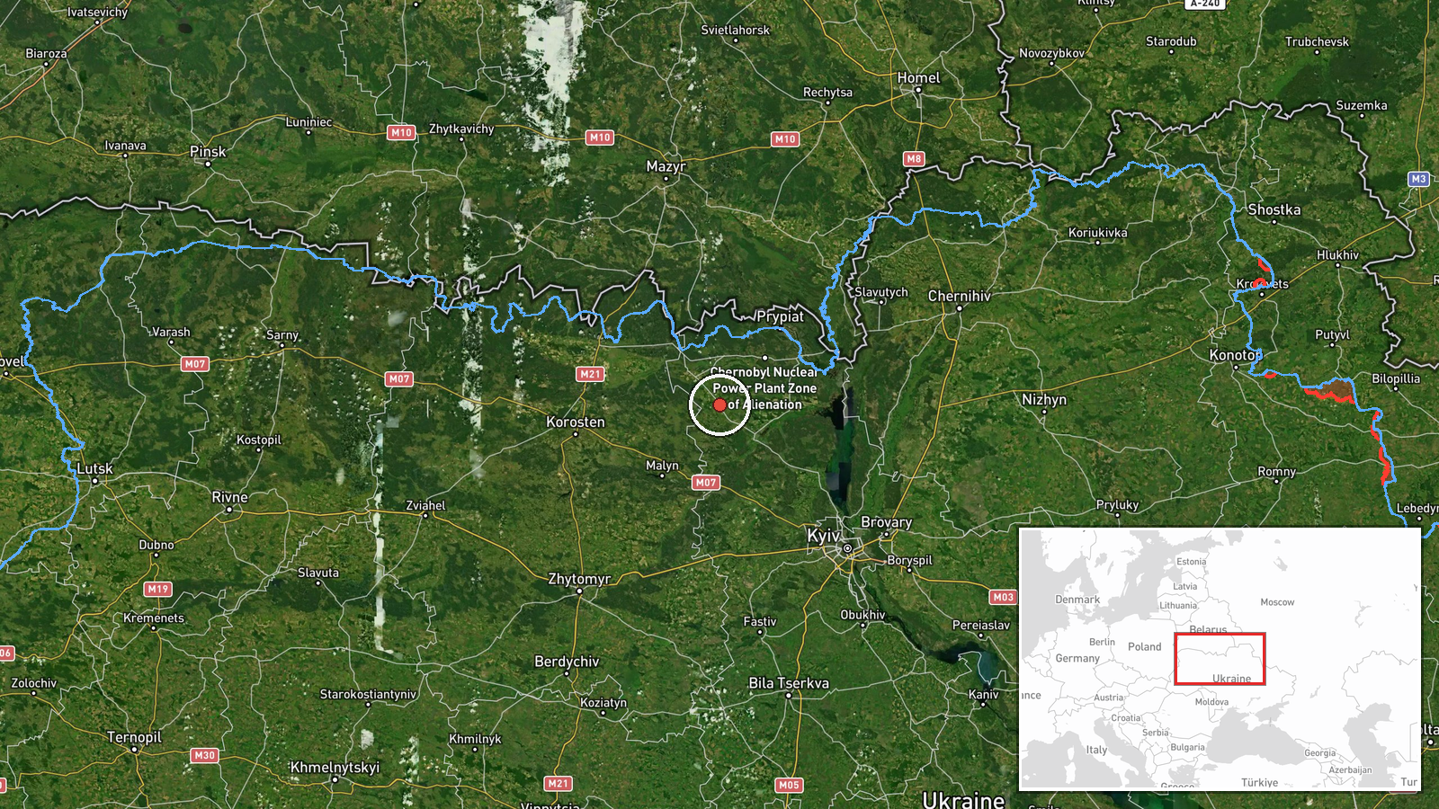
On 19 October 2026 at 17:19 UTC, Ukrainian air monitoring reported one Russian jet-powered Shahed drone, identified as a Geran-3, on a course toward the settlement of Krasiatychi in Kyiv Oblast, approaching from the east. The report was published on the Telegram channel @kpszsu. Its original wording, in Ukrainian, describes a jet-type unmanned aerial vehicle moving toward Krasiatychi from the east. The post is a transit warning, not an impact report. It does not describe an explosion, damage, casualties, or the drone's final fate. Because the wording is brief, the account should be read as a real-time air alert that a single target was tracked in the area at that time.
Context and assessment
This report belongs to a run of Geran-3 transits recorded across northern Chernihiv and Kyiv oblasts on the same day. Earlier reports placed single drones or small groups north of Kyiv heading west and southwest at 02:45 and 05:21 UTC, and one passed south of Ovruch heading west at 02:50 UTC. Later reports described drones moving from Chernihiv Oblast toward the Kyiv Reservoir at 14:02 UTC and from northern Chernihiv toward northern Kyiv at 16:02 UTC. The Krasiatychi report continues that sequence, with the track entering Kyiv Oblast from the east. Taken together, the pattern suggests drones routed through the northern corridor toward the Kyiv region. Several explanations fit the data. The drones may be heading for the capital area, may be diverted by air defense, or may be part of a decoy or saturation pattern meant to stretch defenses. The data does not identify Krasiatychi as a target in its own right, so any judgment about its role should stay provisional.
Sources and confidence
All of the event data comes from one channel, Telegram @kpszsu, and no independent outlet has yet confirmed the track. The confidence score of 8.0 reflects that the channel is an official-style air monitoring source, that the report gives a specific bearing and settlement, and that the event fits a documented pattern of nearby transits. It is held below the top of the scale because the report is single-sourced and does not describe the drone's outcome. Confidence would rise with corroboration from other alert feeds, local officials, or sightings, or with a later update giving the track's endpoint. It would fall if the channel corrected or withdrew the report, or if the track was later shown to be a different aircraft.
Location
The location is recorded at settlement precision with high location confidence, placing the event at Krasiatychi in Kyiv Oblast. The coordinates are an approximation of the settlement and do not mark a specific site. The area lies in the lowland, forested and river-laced landscape of northern Ukraine, part of the Polissia region. Nearby features include the wider Dnipro and Pripyat river systems, and the Kyiv Reservoir lies to the south of the surrounding corridor on the same routes.
Related events nearby
- Ukrainian air monitoring: 1 Russian jet-powered Shahed (Geran-3) drone passing south of Ovruch, heading west.2026-10-19 02:50 UTC · Drone Transit · south of Ovruch, Ukraine
- Ukrainian air monitoring: 1 Russian jet-powered Shahed (Geran-3) drone from northern Chernihiv Oblast toward n2026-10-19 16:02 UTC · Drone Transit · northern Kyiv Oblast, Ukraine
- Ukrainian air monitoring: 2+ Russian jet-powered Shahed (Geran-3) drones passing northern Kyiv Oblast, heading2026-10-19 05:21 UTC · Drone Transit · northern Kyiv Oblast, Ukraine
- Ukrainian air monitoring: 1 Russian jet-powered Shahed (Geran-3) drone passing northern Kyiv Oblast, heading w2026-10-19 02:45 UTC · Drone Transit · northern Kyiv Oblast, Ukraine
- Ukrainian air monitoring: 1 Russian jet-powered Shahed (Geran-3) drone from Chernihiv Oblast toward Kyiv Reser2026-10-19 14:02 UTC · Drone Transit · Kyiv Reservoir, Ukraine
▶ View this event on the live map

Intel Mapper aggregates open-source reports from monitored Telegram and X channels, geolocates them, cross-checks duplicates across sources and assigns a confidence score. Entries are updated as new confirmations arrive. Read how we verify events.