Jet-powered Shahed drone reported passing Rohatyn area in Ivano-Frankivsk Oblast, heading west
What happened
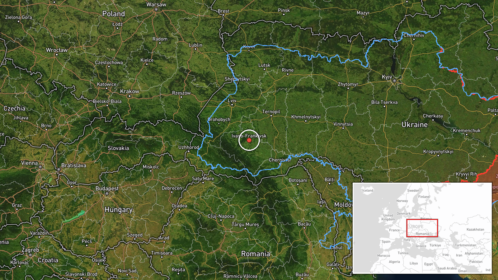
Ukrainian air monitoring channel @kpszsu reported on Telegram that a single jet-powered Shahed-type drone, described as a Geran-3, was passing near Rohatyn in Ivano-Frankivsk Oblast and heading west. The post is timestamped 20 October 2026 at 04:12 UTC and is written in Ukrainian. Its phrasing, 'повз Рогатин', means the drone was passing by Rohatyn rather than striking it. The report names no impact, damage, or casualties, and it does not give altitude or a final destination. The event is classified as a drone transit, a category used when monitoring tracks an object without a reported detonation. The single-channel report has not been independently confirmed at the time of writing.
Context and assessment
Rohatyn sits on the main western approach through Ivano-Frankivsk Oblast, so a transit here fits a wider pattern of Shahed-type tracks moving across western Ukraine on the same night. Related entries from the same monitoring feed show a sequence beginning in the early hours of 19 October, when a drone was logged heading toward Vynnyky near Lviv. Later entries on 20 October place drones passing Ternopil Oblast, one heading northwest, another passing Khmelnytskyi toward Ternopil, and another passing Kozova toward Ivano-Frankivsk Oblast. Taken together, these reports suggest several drones moving along a corridor that runs from the central-west toward the western border region. Operationally, sustained westward tracks like these are often read as long-range flights, and they may reflect routing choices, decoy or saturation tactics, or simply the drones' planned flight paths. The data does not establish intent, and transit reports alone do not show what the drones were targeting. The feed also records no impacts in the related entries.
Sources and confidence
Only one channel, Telegram account @kpszsu, reported this transit, so cross-confirmation is absent and the event carries a source count of one. The confidence score of 8.0 is high relative to the single source, which likely reflects the channel's track record in related monitoring reports and the specific aircraft identification. Confidence would rise with corroboration from a second Ukrainian air force or regional military administration post, or from air alert data matching the time and track. It would fall if the channel later retracted the report, or if other monitoring sources described a different flight path.
Location
The coordinates, 48.92 north and 24.71 east, match the administrative center of Ivano-Frankivsk rather than Rohatyn, which lies roughly 55 kilometers to the north. The location is therefore region-level and rated low confidence. Rohatyn is a town in the Ivano-Frankivsk Oblast, in the Dniester valley, while the oblast's terrain is mostly hilly and forested with rivers and the Carpathian foothills to the south.
Related events nearby
- Ukrainian air monitoring: 1 Russian jet-powered Shahed (Geran-3) drone passing Kozova, heading toward Ivano-Fr2026-10-20 02:41 UTC · Drone Transit · Ivano-Frankivsk Oblast, Ukraine
- Ukrainian air monitoring: 1 Russian Shahed-type drone passing Khmelnytskyi, heading toward Ternopil Oblast.2026-10-20 03:12 UTC · Drone Transit · Ternopil Oblast, Ukraine
- Ukrainian air monitoring: 1 Russian jet-powered Shahed (Geran-3) drone passing Ternopil Oblast, heading northw2026-10-20 00:33 UTC · Drone Transit · Ternopil Oblast, Ukraine
- Ukrainian air monitoring: 1 Russian jet-powered Shahed (Geran-3) drone heading toward Ternopil Oblast.2026-10-19 23:33 UTC · Drone Transit · Ternopil Oblast, Ukraine
- Ukrainian air monitoring: 1 Russian jet-powered Shahed (Geran-3) drone heading toward Vynnyky.2026-10-19 05:20 UTC · Drone Transit · Vynnyky, Ukraine
▶ View this event on the live map

Intel Mapper aggregates open-source reports from monitored Telegram and X channels, geolocates them, cross-checks duplicates across sources and assigns a confidence score. Entries are updated as new confirmations arrive. Read how we verify events.