Ukraine reports 2+ Russian jet-powered Shahed drones heading toward Khmelnytskyi
What happened
Ukrainian air monitoring reported at 04:31 UTC on 20 October 2026 that two or more Russian jet-powered Shahed (Geran-3) drones were heading toward Khmelnytskyi from the southeast. The original Ukrainian-language post, published on the Telegram channel @kpszsu, describes jet-powered UAVs approaching the city from the southeast. It does not describe any impact, damage or casualties. The alert is one of a sequence of drone-transit reports logged across Khmelnytskyi and its surrounding oblast between roughly 01:45 and 03:35 UTC, which trace the aircraft moving through several settlements. The attribution to Russia reflects the Ukrainian source's identification of the drone type. Because the report concerns movement rather than a strike, the event is recorded as a transit rather than an attack.
Context and assessment
Khmelnytskyi is a regional administrative centre in west-central Ukraine, and its air-defence and infrastructure significance makes it a recurring point of interest in long-range drone campaigns. The related events suggest a track rather than an isolated sighting. Reports from 01:45 to 03:35 UTC place drones first coming from Zhytomyr Oblast to the north, then passing Derazhnya, Murovani Kurylivtsi, Vinkivtsi and Brayliv, each time heading toward Khmelnytskyi or its oblast. The count was one aircraft at first, rose to two or more around 02:55, and then fell back to single aircraft. This may reflect separate drones on overlapping routes rather than one formation. Such patterns are consistent with Shahed-type drones launched toward western Ukraine and then tracked as they approach regional targets, although the data does not show where they were launched or what they were aimed at. Operationally, the sequence may indicate that the warning network followed individual aircraft over a long corridor, and that the city was a plausible destination for at least part of the traffic. Any intent beyond transit remains unconfirmed in the available reporting.
Sources and confidence
The only channel reporting this event is the Telegram account @kpszsu, which carries Ukrainian air-monitoring alerts, and no independent outlet or second channel is recorded in the data. The related reports come from the same type of source, so they show the sequence is internally consistent but do not independently verify it. The confidence score of 8.0 reflects a specific, timestamped alert naming a target, offset by single-source status. Confidence would rise with corroboration from Ukrainian Air Force statements, regional military administration posts, or local reports of sirens or debris. It would fall if later updates contradicted the trajectory or the drone count.
Location
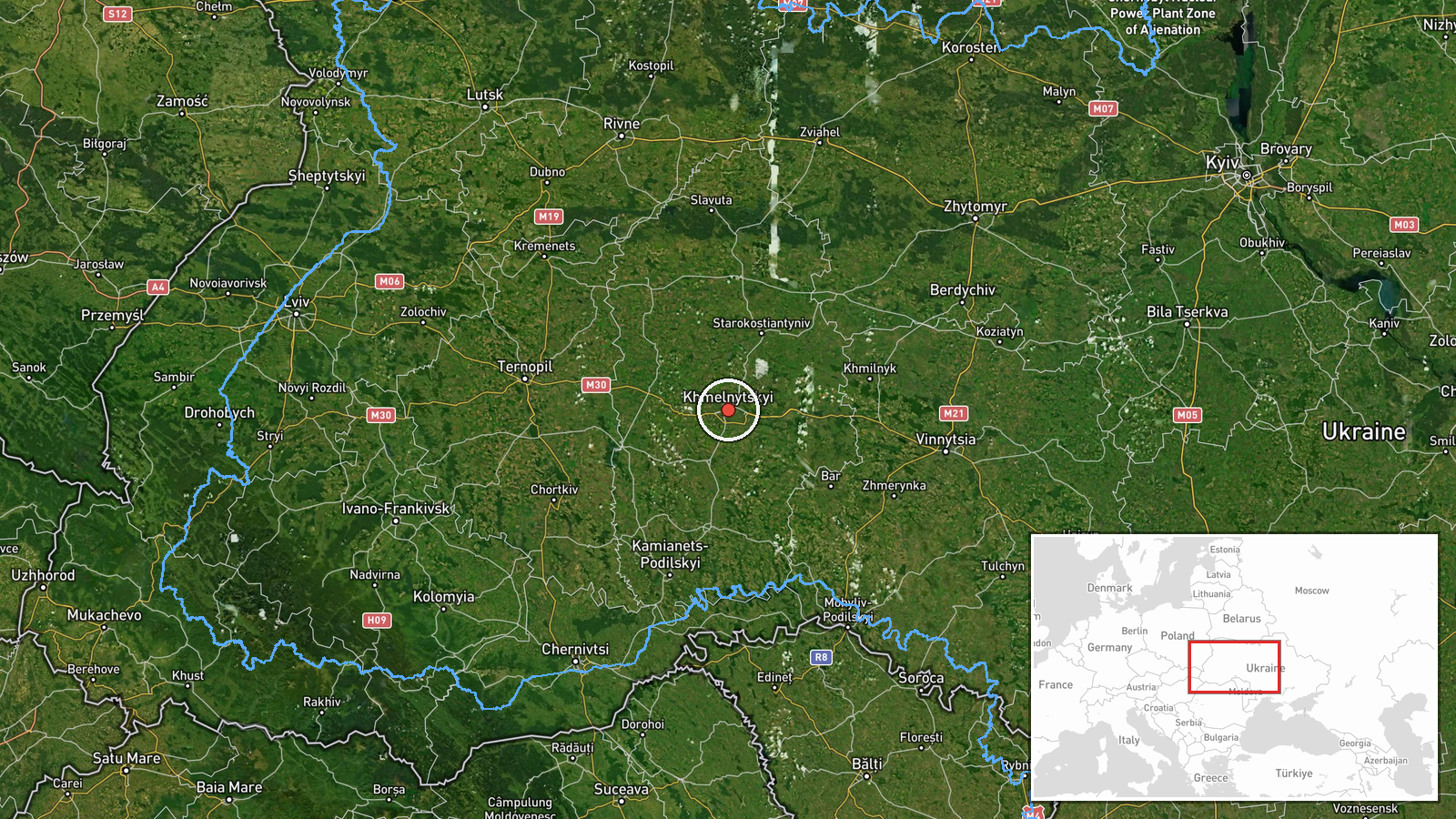
The coordinates are set at settlement level for Khmelnytskyi city, the regional capital, at approximately 49.42 N, 26.98 E, with high location confidence. The city lies on the Southern Bug river in the Podillia region of west-central Ukraine. The surrounding oblast is largely agricultural and rolling, and the routes named in the sequence cross several smaller settlements to the north and northeast.
Related events nearby
- Ukrainian air monitoring: 1 Russian jet-powered Shahed (Geran-3) drone passing Brayiliv, heading toward Khmeln2026-10-20 03:35 UTC · Drone Transit · Khmelnytskyi Oblast, Ukraine
- Ukrainian air monitoring: 1 Russian Shahed-type drone passing Vinkivtsi, heading toward Khmelnytskyi.2026-10-20 03:02 UTC · Drone Transit · Khmelnytskyi, Ukraine
- Ukrainian air monitoring: 2+ Russian jet-powered Shahed (Geran-3) drones passing Murovani Kurylivtsi, heading 2026-10-20 02:55 UTC · Drone Transit · Khmelnytskyi Oblast, Ukraine
- Ukrainian air monitoring: 1 Russian jet-powered Shahed (Geran-3) drone passing Derazhnya, heading toward Khmel2026-10-20 02:19 UTC · Drone Transit · Khmelnytskyi, Ukraine
- Ukrainian air monitoring: 1 Russian jet-powered Shahed (Geran-3) drone from Zhytomyr Oblast toward Khmelnytsky2026-10-20 01:45 UTC · Drone Transit · Khmelnytskyi Oblast, Ukraine
▶ View this event on the live map

Intel Mapper aggregates open-source reports from monitored Telegram and X channels, geolocates them, cross-checks duplicates across sources and assigns a confidence score. Entries are updated as new confirmations arrive. Read how we verify events.