Single jet-powered Shahed (Geran-3) drone reported heading toward Khmelnytskyi from the south
What happened
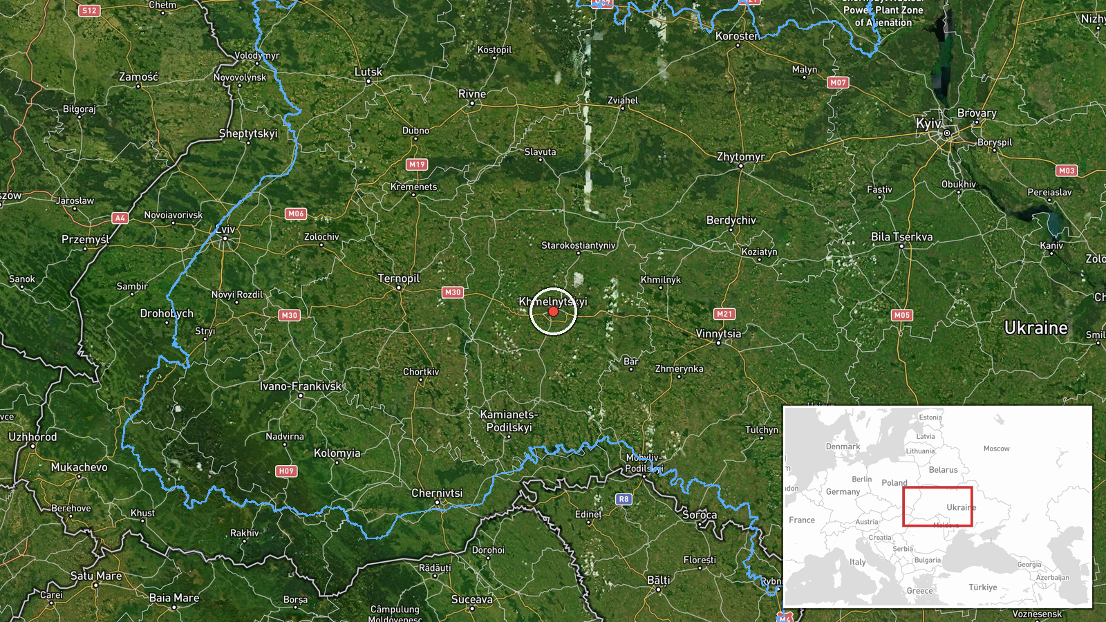
Ukrainian air monitoring reported on Telegram, via the @kpszsu channel, that one Russian jet-powered Shahed-type drone, identified as a Geran-3, was moving toward the city of Khmelnytskyi in western Ukraine. The alert was logged at 09:18 UTC on 20 October 2026. The original Ukrainian post is brief and describes a jet-type unmanned aerial vehicle heading toward Khmelnytskyi from the south. The report does not describe any impact, damage, casualties, or interception. It records a drone in transit, and the event is classified accordingly. The message was published by a single channel, and no other outlet is cited in the data.
Context and assessment
Khmelnytskyi sits in western Ukraine, well inside the country, and it has repeatedly appeared in air-alert reporting during long-range drone campaigns. The Geran-3 is the jet-powered variant of the Shahed family. It is generally understood to fly faster than the piston-engined Geran-2 and to be harder for some air defence systems to track and intercept. The related events show a pattern through the early hours of the same day. Between 02:19 and 04:31 UTC, monitoring logged a sequence of transits toward Khmelnytskyi and its oblast, passing Derazhnya, Murovani Kurylivtsi, Vinkivtsi and Brayiliv. Counts rose from one drone to groups of two or more at several points. This suggests a sustained flow of drones along a corridor that approaches the region, rather than isolated launches. Operationally, such a sequence may indicate a route selected to pass through or near the oblast, or a campaign directed at infrastructure in the wider area. Whether the target was the city itself, a military facility, or simply the route is not established by the data. Each transit report reflects only an observed heading.
Sources and confidence
The event rests on one Telegram channel, @kpszsu, which is associated with Ukraine's Air Force and is widely used for real-time air alerts. No independent outlet, radar feed, or second channel in the data confirms this specific report. The confidence score of 8.0 reflects a credible, official-style source that is well established for this type of alert, but it is held below the top of the scale because there is no cross-confirmation and the message is a brief operational notice. Confidence would rise with corroboration from additional air monitoring channels, regional military administration statements, or reports of the drone's actual track. It would fall if later updates contradicted the heading, the type, or the timing.
Location
The location is recorded as Khmelnytskyi, Ukraine, at settlement precision with high location confidence. The coordinates, 49.42 N and 26.98 E, correspond to the city rather than a specific facility. The city lies on the Ukrainian plateau in the Podillia region, in a largely rolling agricultural landscape. Its surroundings include the Southern Bug river basin and the wider oblast farmland, which the nearby transit points in the related events also cover.
Related events nearby
- Ukrainian air monitoring: 2+ Russian jet-powered Shahed (Geran-3) drones heading toward Khmelnytskyi.2026-10-20 04:31 UTC · Drone Transit · Khmelnytskyi, Ukraine
- Ukrainian air monitoring: 1 Russian jet-powered Shahed (Geran-3) drone passing Brayiliv, heading toward Khmeln2026-10-20 03:35 UTC · Drone Transit · Khmelnytskyi Oblast, Ukraine
- Ukrainian air monitoring: 1 Russian Shahed-type drone passing Vinkivtsi, heading toward Khmelnytskyi.2026-10-20 03:02 UTC · Drone Transit · Khmelnytskyi, Ukraine
- Ukrainian air monitoring: 2+ Russian jet-powered Shahed (Geran-3) drones passing Murovani Kurylivtsi, heading 2026-10-20 02:55 UTC · Drone Transit · Khmelnytskyi Oblast, Ukraine
- Ukrainian air monitoring: 1 Russian jet-powered Shahed (Geran-3) drone passing Derazhnya, heading toward Khmel2026-10-20 02:19 UTC · Drone Transit · Khmelnytskyi, Ukraine
▶ View this event on the live map

Intel Mapper aggregates open-source reports from monitored Telegram and X channels, geolocates them, cross-checks duplicates across sources and assigns a confidence score. Entries are updated as new confirmations arrive. Read how we verify events.