Jet-powered Shahed (Geran-3) drone reported heading toward Shuliavka, Kyiv
What happened
Ukrainian air monitoring, relayed through the Telegram channel @kpszsu, reported one jet-powered Shahed-type drone, identified in the data as a Geran-3, heading toward Shuliavka in Kyiv at approximately 10:20 UTC on 20 October 2026. The original Ukrainian-language post is shorter and names Shuliavka together with Lukianivka, a neighbouring Kyiv district, as the drone's apparent direction. The English summary mentions only Shuliavka. The report describes a heading rather than an impact and says nothing about damage, casualties or interception. Attribution to Russia reflects the attack type and the Geran designation in the event record, not an explicit statement in the post. Because the wording describes a drone in flight, the entry is best read as a track report rather than a confirmed strike.
Context and assessment
Shuliavka sits on the western side of Kyiv, so a drone heading there is part of a wider pattern of air activity over the capital region that day. Related entries show a sequence of Geran-3 tracks: one drone from western Chernihiv Oblast toward Kyiv Oblast at 06:22, two or more drones heading toward Kyiv at 09:49, one passing Boyarka at 09:58, one passing Brovary at 10:17, and reports at 10:26 of two or more drones over Kyiv Oblast with one heading toward Makariv. The pattern suggests a sustained approach from the north and northwest over several hours, with tracks spread across multiple districts rather than concentrated on a single point. Single-heading reports of this kind are consistent with air defence tracking several objects at once, and with an attacker spreading targets or probing routes. The data does not identify an intended target, and a heading toward a district does not establish that the district was the aim. The jet-powered Geran-3 variant is generally described as faster than the piston-engine Geran-2, which would shorten warning times for ground observers, though that characterisation rests on open reporting rather than this entry.
Sources and confidence
The entry rests on one Telegram channel, @kpszsu, with a source count of one. Its confidence score of 8.0 reflects a consistent reporting style, a high-precision location, and corroboration from the surrounding cluster of related Kyiv-area drone reports in the same time window. Those related reports share the channel-level origin, so they add pattern consistency but not independent confirmation of this specific track. Confidence would rise with reports from other monitoring sources, Kyiv city or regional authorities, or evidence of impact or wreckage in Shuliavka or Lukianivka. It would fall if later updates contradicted the heading or if the track could not be matched to any observed incident.
Location
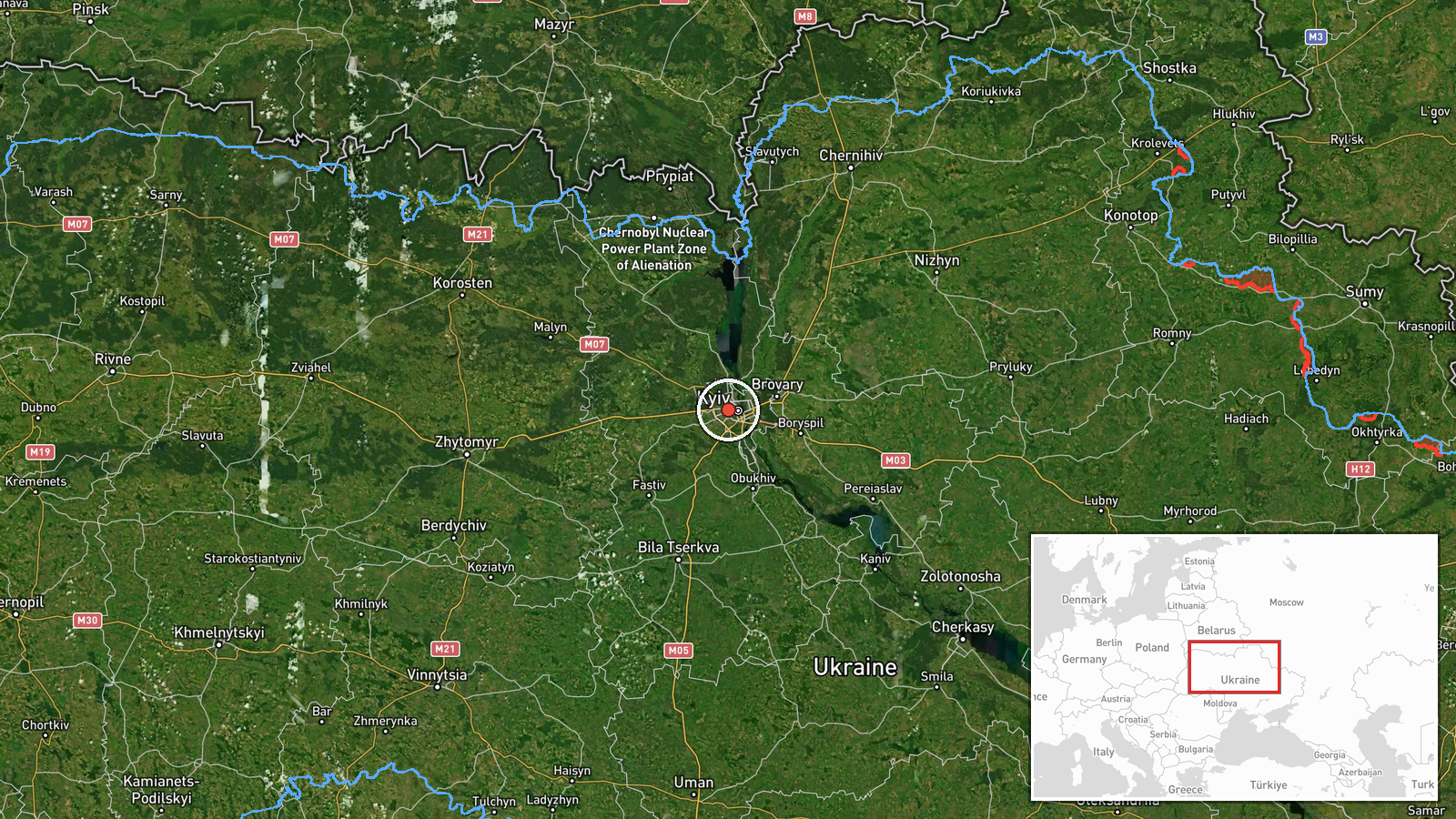
The location is recorded at settlement precision, using a point for Shuliavka rather than a specific building or facility. The coordinates are a district centroid, so the drone's actual path or any impact point could lie anywhere within the surrounding area. Shuliavka lies on the western side of Kyiv, a city built on the right, or western, bank of the Dnipro, and the main river channel runs to the east. Lukianivka, named in the original post, is an adjacent area, and the two are close enough that a heading toward one could plausibly describe the other.
Related events nearby
- Ukrainian air monitoring: 2+ Russian jet-powered Shahed (Geran-3) drones over Kyiv Oblast; 1 Russian jet-power2026-10-20 10:26 UTC · Drone Transit · Kyiv Oblast, Ukraine
- Ukrainian air monitoring: 1 Russian jet-powered Shahed (Geran-3) drone passing Brovary, heading toward Kyiv.2026-10-20 10:17 UTC · Drone Transit · Kyiv, Ukraine
- Ukrainian air monitoring: 1 Russian jet-powered Shahed (Geran-3) drone passing Boyarka, heading toward Kyiv.2026-10-20 09:58 UTC · Drone Transit · Kyiv, Ukraine
- Ukrainian air monitoring: 2+ Russian jet-powered Shahed (Geran-3) drones heading toward Kyiv.2026-10-20 09:49 UTC · Drone Transit · Kyiv, Ukraine
- Ukrainian air monitoring: 1 Russian jet-powered Shahed (Geran-3) drone from western Chernihiv Oblast toward Ky2026-10-20 06:22 UTC · Drone Transit · Kyiv Oblast, Ukraine
▶ View this event on the live map

Intel Mapper aggregates open-source reports from monitored Telegram and X channels, geolocates them, cross-checks duplicates across sources and assigns a confidence score. Entries are updated as new confirmations arrive. Read how we verify events.