Ukrainian air monitoring reports a jet-powered Shahed drone heading toward Borshchahivka, Kyiv
What happened
Ukrainian air monitoring reported on 20 October 2026, at about 11:04 UTC, one Russian jet-powered Shahed (Geran-3) drone on a course toward Borshchahivka, a settlement within Kyiv. The original post, published on the Telegram channel @kpszsu, is a short Ukrainian-language notice saying a jet-type UAV was heading toward Borshchahivka. The report names no impact, casualties, or damage. The wording describes a drone in transit, not a strike that has occurred. Five related transit reports from the same morning describe similar single drones heading toward or near other points in Kyiv and Kyiv Oblast, between roughly 10:20 and 11:05 UTC.
Context and assessment
Borshchahivka lies on the western side of Kyiv, a city that has been a recurring target of long-range drone raids, and the surrounding districts host dense residential areas, transport links and infrastructure. The related events show a consistent pattern: single Geran-3 drones tracked across a sequence of western and north-western Kyiv locations, including Akademmistechko, Shuliavka, Zhuliany and Vyshneve in Kyiv Oblast. Such a spread of positions over about 45 minutes is more consistent with individual drones flying routes through the area than with a single fixed aim point, though it does not confirm the intended target. Air monitoring reports of this kind are typically issued to warn residents and air defence units, and they may reflect drones being guided or redirected in flight. The jet-powered variant is generally faster and harder to intercept than older piston-engine Shaheds, which is why its appearance in a report is often treated as operationally notable. Readers should not infer from a transit notice alone which site, if any, was the intended object of the attack.
Sources and confidence
The event rests on a single Telegram channel, @kpszsu, which is the only source listed. Five related entries from the same morning share the same general reporting framing, but they draw on the same monitoring stream rather than independent observers, so they add track context rather than independent confirmation. The confidence score of 8.0 reflects a credible official-type air monitoring source, a clear and consistent drone type, and an explicit location, offset by the absence of a second channel. Confidence would rise with corroboration from another air monitoring source, city or military statements, or confirmed impact reports. It would fall if later updates revised the target, the drone type, or the timing, or if the related timestamps proved to be reporting times that do not match the drone's actual track.
Location
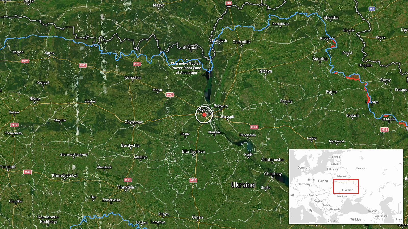
The coordinates (50.43 N, 30.38 E) correspond to the settlement of Borshchahivka, placed at settlement-level precision with high location confidence, because the location is named directly in the source. The point is approximate to the settlement rather than to a specific facility. Borshchahivka sits in the western part of Kyiv, a flat, heavily built urban area with residential blocks, rail and road corridors, and the Zhuliany airport area a short distance away. The Irpin River valley and Kyiv Oblast lie to the north-west, and several of the related transit reports refer to locations on that axis.
Related events nearby
- Ukrainian air monitoring: 1 Russian jet-powered Shahed (Geran-3) drone heading toward Akademmistechko, Kyiv.2026-10-20 10:20 UTC · Drone Transit · Akademmistechko, Kyiv, Ukraine
- Ukrainian air monitoring: 1 Russian jet-powered Shahed (Geran-3) drone from Kyiv Oblast toward Vyshneve.2026-10-20 10:40 UTC · Drone Transit · Vyshneve, Ukraine
- Ukrainian air monitoring: 1 Russian jet-powered Shahed (Geran-3) drone heading toward Zhuliany, Kyiv.2026-10-20 11:31 UTC · Drone Transit · Zhuliany, Kyiv, Ukraine
- Ukrainian air monitoring: 1 Russian jet-powered Shahed (Geran-3) drone heading toward Zhuliany, Kyiv.2026-10-20 11:05 UTC · Drone Transit · Zhuliany, Kyiv, Ukraine
- Ukrainian air monitoring: 1 Russian jet-powered Shahed (Geran-3) drone heading toward Zhuliany, Kyiv.2026-10-20 10:24 UTC · Drone Transit · Zhuliany, Kyiv, Ukraine
▶ View this event on the live map

Intel Mapper aggregates open-source reports from monitored Telegram and X channels, geolocates them, cross-checks duplicates across sources and assigns a confidence score. Entries are updated as new confirmations arrive. Read how we verify events.