Single Russian jet-powered Shahed drone reported heading toward Zhuliany, Kyiv, on October 20, 2026
What happened
Ukrainian air monitoring reported on Telegram that one Russian jet-powered Shahed (Geran-3) drone was heading toward Zhuliany, a district in western Kyiv, at about 10:24 UTC on 20 October 2026. The original post, published by the channel @kpszsu, was brief and read in Ukrainian as a jet-type UAV bound for Zhuliany and Holosiiv, the adjacent district. The report gives no information on impact, damage, casualties, or interception. It describes the drone's track and destination only. The event is recorded as a drone transit, meaning a warning of a drone's movement rather than a confirmed strike. Because the post reflects an air-alert style update, the drone's final fate is not stated in the source.
Context and assessment
Zhuliany sits in the southwest of Kyiv, next to the Holosiiv district and the city's main airport complex, which places it within the wider urban core that Russian long-range drone waves have repeatedly targeted. The event is one of a rapid sequence logged between 09:49 and 10:26 UTC that day. Earlier entries recorded two or more Geran-3 drones heading toward Kyiv, single drones passing Boyarka and Brovary, and another heading toward Shuliavka. Later entries show drones spreading across Kyiv Oblast, including one heading toward Makariv. This pattern suggests a coordinated wave approaching the capital from several directions, with individual drones tracked as they split toward different districts. Operationally, such dispersal can complicate air defence allocation and may be designed to saturate detection and interception across the city. The sequence itself does not establish the intended target of any specific drone.
Sources and confidence
The report comes from a single Telegram channel, @kpszsu, which is associated with Ukrainian air-monitoring messaging. No second channel, wire service, or official statement in the provided data independently confirms the Zhuliany track. The confidence score of 8.0 reflects the channel's consistent role in air alerts and the corroborating pattern of related Kyiv drone transit reports in the same window, but it is held below the top range because the claim is single-sourced and the update carries no outcome data. Confidence would rise with confirmation from additional Ukrainian authorities, reports of interception or impact in Zhuliany, or matching posts from other monitoring channels. It would fall if subsequent updates revised the drone's heading or if the track proved to be a misreading of a nearby alert.
Location
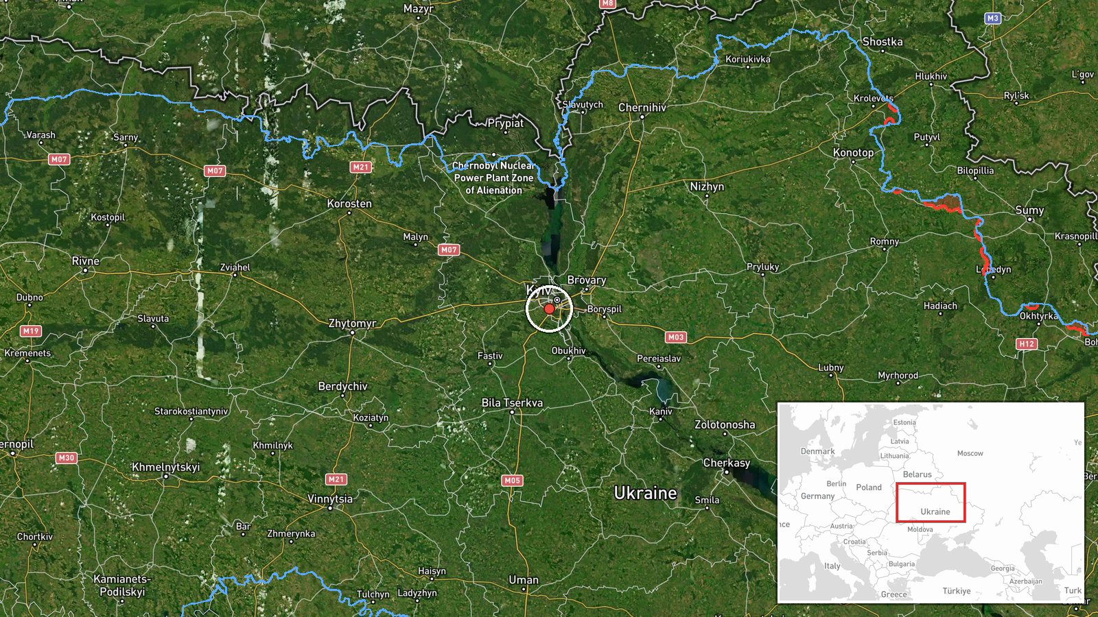
The location is recorded at settlement precision, with coordinates at approximately 50.40 N, 30.45 E, placing the point within Zhuliany in western Kyiv rather than at a specific facility. The location confidence is high because the source names the district directly. Zhuliany is a residential and commercial area near the Zhuliany airport and the Holosiiv district. The Dnipro River lies to the east of the city, and the area is characterised by dense urban development.
Related events nearby
- Ukrainian air monitoring: 1 Russian jet-powered Shahed (Geran-3) drone heading toward Sovky.2026-10-20 10:42 UTC · Drone Transit · Sovky, Ukraine
- Ukrainian air monitoring: 1 Russian jet-powered Shahed (Geran-3) drone heading toward Teremky, Kyiv.2026-10-20 10:55 UTC · Drone Transit · Teremky, Kyiv, Ukraine
- Ukrainian air monitoring: 1 Russian jet-powered Shahed (Geran-3) drone from Kyiv Oblast toward Vyshneve.2026-10-20 10:40 UTC · Drone Transit · Vyshneve, Ukraine
- Ukrainian air monitoring: 1 Russian jet-powered Shahed (Geran-3) drone heading toward Shuliavka, Kyiv.2026-10-20 10:20 UTC · Drone Transit · Shuliavka, Kyiv, Ukraine
- Ukrainian air monitoring: 1 Russian jet-powered Shahed (Geran-3) drone heading toward Chabany.2026-10-20 10:48 UTC · Drone Transit · Chabany, Ukraine
▶ View this event on the live map

Intel Mapper aggregates open-source reports from monitored Telegram and X channels, geolocates them, cross-checks duplicates across sources and assigns a confidence score. Entries are updated as new confirmations arrive. Read how we verify events.