Single jet-powered Geran-3 drone reported heading toward Teremky, Kyiv, in Ukrainian air monitoring
What happened
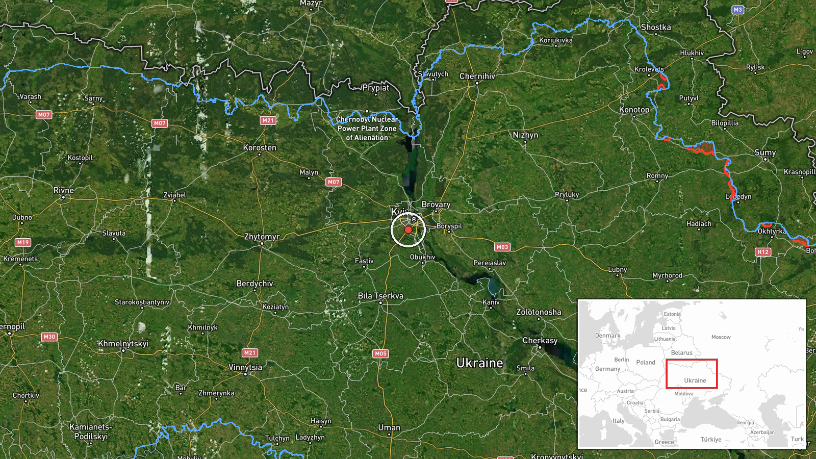
Ukrainian air monitoring reported one Russian jet-powered Shahed, designated Geran-3, on a course toward Teremky in Kyiv, with the settlement placed at roughly 50.37 north and 30.45 east. The original Ukrainian-language post, published on Telegram by the channel @kpszsu, describes a jet-type unmanned aerial vehicle heading toward Teremky and Holosiiv, a pairing that points to the southwestern part of Kyiv city. The report gives a timestamp of 2026-10-20 10:55 UTC and does not describe any impact, casualties, or damage. The wording refers to a course rather than a confirmed strike, so the entry records a transit track, not a completed attack.
Context and assessment
Teremky sits on the southwestern edge of the Kyiv metropolitan area, close to the Holosiiv district and the forested Holosiivskyi park belt, so a track toward it brings a drone into dense residential and infrastructure zones within the capital's outskirts. The entry is one of six closely spaced Drone Transit reports between 10:20 and 10:55 UTC, each naming a single Geran-3 heading toward a different settlement: Shuliavka, Zhuliany, Vyshneve (described as coming from Kyiv Oblast), Sovky, and Chabany before Teremky. The sequence moves through northern, western and southwestern approaches to the city within roughly half an hour. This pattern suggests either one drone being tracked as it changes course or several drones in a staggered flight, and the available data cannot distinguish between the two. Operationally, a jet-powered variant is generally understood to fly faster than piston-engined Shahed models, which would shorten warning times for air defence units and civilians. Consistent with that, the cluster of alerts is best read as an air-defence tracking signal rather than evidence of a specific target being hit.
Sources and confidence
The entry rests on a single Telegram channel, @kpszsu, which is reportedly linked to Ukraine's Air Force monitoring and alert reporting. No second outlet, official statement, or independent radar source is listed for this specific event, and the record shows a source count of one. The confidence score of 8.0 reflects a credible official-style channel with precise wording and a consistent pattern across the related alerts, but it is held below the maximum because the report is uncorroborated and describes only a heading, not a confirmed trajectory or outcome. Confidence would rise with confirmation from an additional monitoring source, an official air-defence follow-up, or reporting of interception or impact near Teremky. It would fall if later updates revise the track or if the alert is withdrawn.
Location
The location is recorded at settlement level for Teremky, with coordinates of about 50.37 north and 30.45 east, and the location confidence is marked high. The coordinates were assigned to the named settlement rather than a specific facility or street. Teremky lies on the southwestern side of Kyiv city, near the Holosiiv forest area and the Holosiivskyi park belt. The setting is largely urban and suburban, with residential blocks, transport corridors, and green space nearby.
Related events nearby
- Ukrainian air monitoring: 1 Russian jet-powered Shahed (Geran-3) drone heading toward Zhuliany, Kyiv.2026-10-20 11:31 UTC · Drone Transit · Zhuliany, Kyiv, Ukraine
- Ukrainian air monitoring: 1 Russian jet-powered Shahed (Geran-3) drone heading toward Zhuliany, Kyiv.2026-10-20 11:05 UTC · Drone Transit · Zhuliany, Kyiv, Ukraine
- Ukrainian air monitoring: 1 Russian jet-powered Shahed (Geran-3) drone heading toward Zhuliany, Kyiv.2026-10-20 10:24 UTC · Drone Transit · Zhuliany, Kyiv, Ukraine
- Ukrainian air monitoring: 1 Russian jet-powered Shahed (Geran-3) drone heading toward Chabany.2026-10-20 10:48 UTC · Drone Transit · Chabany, Ukraine
- Ukrainian air monitoring: 1 Russian jet-powered Shahed (Geran-3) drone heading toward Sovky.2026-10-20 10:42 UTC · Drone Transit · Sovky, Ukraine
▶ View this event on the live map

Intel Mapper aggregates open-source reports from monitored Telegram and X channels, geolocates them, cross-checks duplicates across sources and assigns a confidence score. Entries are updated as new confirmations arrive. Read how we verify events.