Ukrainian air monitoring reports one Geran-3 jet drone heading toward Sovky, near Kyiv
What happened
On 20 October 2026, at about 10:42 UTC, Ukraine's Air Force monitoring channel on Telegram (@kpszsu) reported one Russian jet-powered Shahed (Geran-3) drone heading toward Sovky. The original Ukrainian post reads 'Реактивний БпЛА на Совки/Деміївка', pairing Sovky with Demiivka, a locality on the southern side of Kyiv. The report gives no impact, damage, or casualty information, and it describes only the drone's reported heading. It sits within a cluster of at least five similar monitoring alerts over Kyiv and Kyiv Oblast between 10:01 and 10:55 UTC, which together suggest a sustained drone movement across the capital area.
Context and assessment
Kyiv has been a recurring focus of Russian long-range drone raids, and the capital's southern and western districts often appear in air alerts when attacks are directed at the wider urban area. The related reports for this morning follow a pattern of multiple Geran-3 drones tracked along different axes: one passing Brovary toward Kyiv at 10:17, one reported over Pechersk at 10:01, one heading toward Zhuliany at 10:24, a group of two or more over Kyiv Oblast at 10:26 with one heading toward Makariv, and another toward Teremky at 10:55. The spread of headings and the length of the window suggest a wave of drones converging on or circling the city rather than a single targeted strike. Reports that name a specific district usually reflect the drone's last reported bearing, not a confirmed aim point. The Sovky/Demiivka report should therefore be read as a track indication. The jet-powered Geran-3 variant is faster than earlier piston-engine Shaheds, which can shorten warning times for residents.
Sources and confidence
This event rests on one source, the Telegram channel @kpszsu, which is the official air monitoring feed used by Ukraine's Air Force. The channel has a generally consistent record of publishing track reports, but this entry has no independent confirmation from another outlet, wire service, or local official in the dataset. The confidence score of 8.0 reflects the official nature of the channel and the detailed, time-stamped wording, offset by the single-source status and the fact that the report describes a heading, not an observed impact. Confidence would rise with corroboration from local authorities, Kyiv city or regional military administration statements, or footage or wreckage reports matching the track. It would fall if the track were revised or if later alerts contradicted the heading.
Location
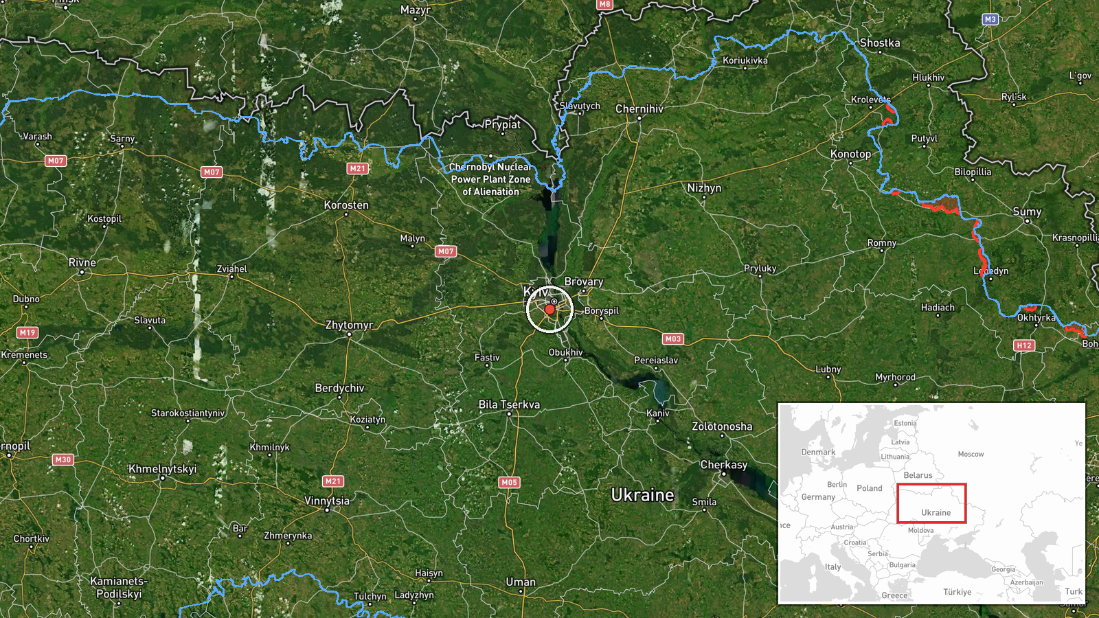
The location is recorded at settlement level, with coordinates of approximately 50.406 N, 30.481 E. The source names Sovky together with Demiivka, so the point likely marks the general area of that locality on the southern edge of the Kyiv urban area rather than a precise building or facility. The Dnipro River and its floodplain lie to the east and northeast of the city, and the terrain south of Kyiv is largely built-up residential land with transport corridors. Because the drone was reported heading toward this point, the coordinates indicate direction and approximate target zone, not confirmed impact.
Related events nearby
- Ukrainian air monitoring: 1 Russian jet-powered Shahed (Geran-3) drone heading toward Zhuliany, Kyiv.2026-10-20 11:31 UTC · Drone Transit · Zhuliany, Kyiv, Ukraine
- Ukrainian air monitoring: 1 Russian jet-powered Shahed (Geran-3) drone heading toward Zhuliany, Kyiv.2026-10-20 11:05 UTC · Drone Transit · Zhuliany, Kyiv, Ukraine
- Ukrainian air monitoring: 1 Russian jet-powered Shahed (Geran-3) drone heading toward Zhuliany, Kyiv.2026-10-20 10:24 UTC · Drone Transit · Zhuliany, Kyiv, Ukraine
- Ukrainian air monitoring: 1 Russian jet-powered Shahed (Geran-3) drone heading toward Teremky, Kyiv.2026-10-20 10:55 UTC · Drone Transit · Teremky, Kyiv, Ukraine
- Ukrainian air monitoring: 1 Russian jet-powered Shahed (Geran-3) drone heading toward Pechersk, Kyiv.2026-10-20 10:01 UTC · Drone Transit · Pechersk, Kyiv, Ukraine
▶ View this event on the live map

Intel Mapper aggregates open-source reports from monitored Telegram and X channels, geolocates them, cross-checks duplicates across sources and assigns a confidence score. Entries are updated as new confirmations arrive. Read how we verify events.