Ukrainian Air Force reports a Geran-3 drone tracked over Shuliavka and Minsk Massif, Kyiv
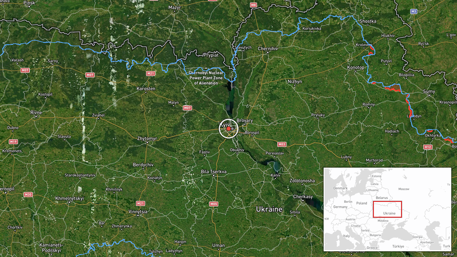
What happened
Ukraine's Air Force Telegram channel, @kpszsu, reported that one Russian jet-powered Shahed-type drone, described in the post as a Geran-3, was tracked over Shuliavka and the Minsk Massif in Kyiv at about 12:08 UTC on 20 October 2026. The original post is a brief alert: a motorcycle emoji followed by the two district names. The record treats it as a drone transit notice rather than a report of impact. The post does not describe damage, casualties, interceptions, altitude or heading beyond the district names. The event is recorded as a single-source report with settlement-level location precision. Earlier and later alerts in the same morning window name neighbouring Kyiv districts, which places this report within a broader pattern of drone movement over the capital.
Context and assessment
Kyiv is the country's political capital and one of its most densely populated cities, so air alerts naming its residential districts draw close attention from both officials and the public. Shuliavka and the Minsk Massif are large residential areas on the western side of the city. The Geran-3 is the jet-powered variant of the Shahed family, which is faster than the older piston-engined models and leaves less time for interception. Related alerts that morning show a sequence moving through the western edge of the capital and its surrounding oblast. One alert at 10:20 UTC named Shuliavka, another at 10:26 UTC placed drones over Kyiv Oblast with one heading toward Makariv, and a further alert at 11:04 UTC named Borshchahivka. At 12:07 UTC, two or more drones were reported over Kyiv, followed by an alert for Sviatoshyn at 12:28 UTC. Operationally, a run of district names in sequence more likely reflects the flight path of drones passing through the area than a single fixed target. Alerts of this kind mainly serve as warnings to the public and to air defence units, though the sources do not show what the drones were intended to strike.
Sources and confidence
Only one channel is listed: the official Telegram account of Ukraine's Air Force. Official military channels are generally reliable on the timing and location of air alerts, which supports a fairly high score, but this report has no independent confirmation from other outlets, from radar-based reporting, or from impact or debris reports. The confidence score of 8.0 reflects the official origin, the specific timestamp and the consistency with the surrounding alert sequence. It would rise with corroboration from other official Ukrainian channels, regional military administration statements, or independent monitoring, and it would fall if later alerts revised or withdrew the track.
Location
The location is recorded at settlement level, using Shuliavka and the Minsk Massif as named in the alert. The coordinates given, 50.453 north and 30.439 east, are an approximate central point for the Shuliavka area and do not mark a specific street or facility, and no separate location confidence value is recorded. The area lies in western Kyiv, in a dense residential setting. It sits close to Svyatoshyn district, and the wider Kyiv Oblast boundary lies to the west and north-west, which is consistent with the nearby alerts.
Related events nearby
- Ukrainian air monitoring: 1 Russian jet-powered Shahed (Geran-3) drone heading toward Shuliavka, Kyiv.2026-10-20 10:20 UTC · Drone Transit · Shuliavka, Kyiv, Ukraine
- Ukrainian air monitoring: 1 Russian jet-powered Shahed (Geran-3) drone heading toward Borshchahivka, Kyiv.2026-10-20 11:04 UTC · Drone Transit · Borshchahivka, Kyiv, Ukraine
- Ukrainian air monitoring: 1 Russian jet-powered Shahed (Geran-3) drone heading toward Sviatoshyn, Kyiv.2026-10-20 12:28 UTC · Drone Transit · Sviatoshyn, Kyiv, Ukraine
- Ukrainian air monitoring: 1 Russian jet-powered Shahed (Geran-3) drone heading toward Pochaina, Kyiv.2026-10-20 12:42 UTC · Drone Transit · Pochaina, Kyiv, Ukraine
- Ukrainian air monitoring: 1 Russian jet-powered Shahed (Geran-3) drone heading toward Pochaina, Kyiv.2026-10-20 12:34 UTC · Drone Transit · Pochaina, Kyiv, Ukraine
▶ View this event on the live map

Intel Mapper aggregates open-source reports from monitored Telegram and X channels, geolocates them, cross-checks duplicates across sources and assigns a confidence score. Entries are updated as new confirmations arrive. Read how we verify events.