Single Russian jet-powered Shahed drone reported heading toward Hostomel, Kyiv Oblast
What happened
Ukrainian air monitoring reported on 20 October 2026, at about 13:34 UTC, that one Russian jet-powered Shahed, identified as a Geran-3, was heading toward Hostomel in Kyiv Oblast. The original Ukrainian-language post, from the Telegram channel @kpszsu, said the drone was on course toward Hostomel and Kyiv, so the track was framed as aimed at the Hostomel area and the capital more broadly. The report is a transit warning, not a confirmed impact. It does not state whether the drone struck anything, was intercepted, or changed course, and it gives no casualty, damage, or unit details. The alert is one of several similar single-drone warnings logged the same day across the Kyiv area, beginning in the morning.
Context and assessment
Hostomel lies northwest of Kyiv, near the Irpin and Bucha belt that was part of the approach to the capital during the early 2022 fighting, and it contains an airfield that drew heavy attention in that period. Its relevance in this report is mainly as a waypoint on a drone track toward the capital, not as a confirmed target. The related events show a sequence of single-drone alerts on the same date: a track toward Vorzel at 09:52, Akademmistechko in Kyiv at 10:20, Irpin at 11:14, two or more drones toward Vyshhorod at 11:42, Sviatoshyn in Kyiv at 12:28, and then Hostomel at 13:34. Named points spread across the northern and western sides of the capital suggest a sustained or repeated flight path rather than one isolated launch. Geran-3 is a jet-powered variant, which generally implies higher speed than piston-engined Shaheds and a shorter window for interception, although the data does not confirm speed or altitude. Operationally, the pattern may indicate an effort to probe or stretch air defence coverage around Kyiv, but that reading is inferred from the alert sequence and should be treated as tentative.
Sources and confidence
The report comes from a single Telegram channel, @kpszsu, which posts Ukrainian air monitoring alerts. The confidence score of 8.0 reflects that the post is specific about drone type, direction, and location, and comes from a channel associated with Ukrainian air monitoring. It still rests on one source, and the data includes no independent confirmation. Related alerts on the same date share the same channel attribution and wording style, which supports internal consistency but not independent verification. Confidence would rise with corroboration from a second monitoring feed, an official Ukrainian Air Force statement, or local reports of sirens, debris, or impacts in Hostomel. It would fall if the track were later retracted, reclassified, or contradicted by subsequent reporting.
Location
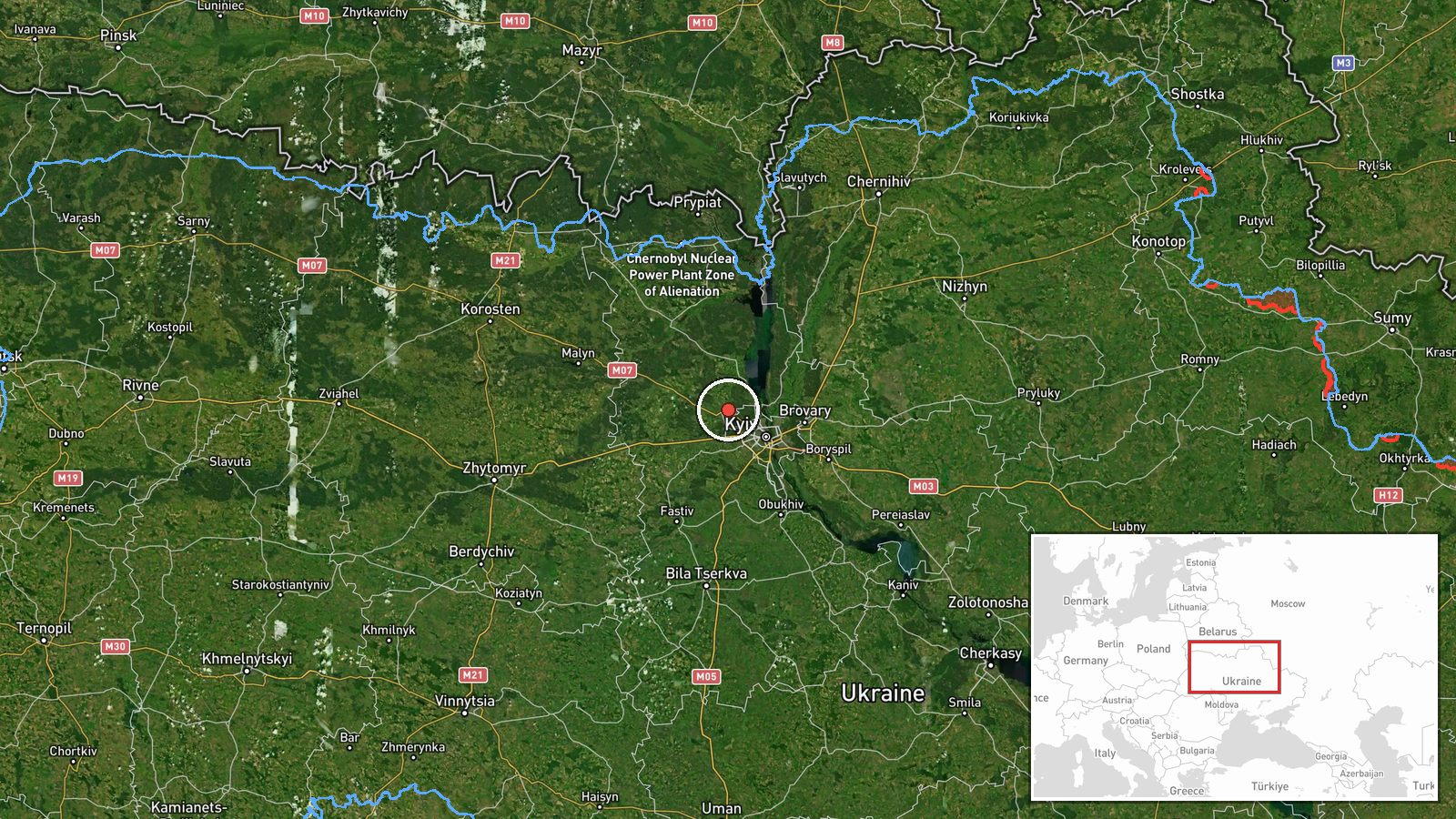
The location is recorded at settlement precision as Hostomel, Ukraine, with coordinates near 50.568 N, 30.265 E, and location confidence is rated high. Hostomel is a town in Kyiv Oblast on the northwestern approaches to the capital, close to the Irpin River and surrounded by suburban development, open ground, and wooded areas. The coordinates mark the settlement rather than a specific facility, so they indicate the general area of the track and should not be read as an exact target point.
Related events nearby
- Ukrainian air monitoring: 1 Russian jet-powered Shahed (Geran-3) drone from Kyiv Oblast toward Irpin.2026-10-20 11:14 UTC · Drone Transit · Irpin, Ukraine
- Ukrainian air monitoring: 1 Russian jet-powered Shahed (Geran-3) drone heading toward Vorzel.2026-10-20 09:52 UTC · Drone Transit · Vorzel, Ukraine
- Ukrainian air monitoring: 1 Russian jet-powered Shahed (Geran-3) drone heading toward Akademmistechko, Kyiv.2026-10-20 10:20 UTC · Drone Transit · Akademmistechko, Kyiv, Ukraine
- Ukrainian air monitoring: 1 Russian jet-powered Shahed (Geran-3) drone heading toward Vynohradar, Kyiv.2026-10-20 14:26 UTC · Drone Transit · Vynohradar, Kyiv, Ukraine
- Ukrainian air monitoring: 1 Russian jet-powered Shahed (Geran-3) drone heading toward Sviatoshyn, Kyiv.2026-10-20 12:28 UTC · Drone Transit · Sviatoshyn, Kyiv, Ukraine
▶ View this event on the live map

Intel Mapper aggregates open-source reports from monitored Telegram and X channels, geolocates them, cross-checks duplicates across sources and assigns a confidence score. Entries are updated as new confirmations arrive. Read how we verify events.