Single Russian Geran-3 jet drone reported heading toward Vynohradar, Kyiv, on 20 October 2026
What happened
Ukrainian air monitoring reported on Telegram that one Russian jet-powered Shahed, identified as the Geran-3, was heading toward Vynohradar in Kyiv at about 14:26 UTC on 20 October 2026. The original Ukrainian-language post, which reads roughly as a jet-powered UAV heading to Vynohradar or Syrets, gives no information on impacts, casualties or damage. The wording describes an assessed direction of travel, so this is a transit notice rather than a confirmed strike. The post came from the @kpszsu Telegram channel, the Ukrainian Air Force's monitoring account, and is the only source recorded for this event. The event is classified as Drone Transit, with Russia as the attributed actor.
Context and assessment
Vynohradar sits within a cluster of western and northwestern Kyiv districts that appear repeatedly in the same monitoring stream today. Earlier reports the same day describe single Geran-3 drones heading toward Sviatoshyn, Pochaina and Shuliavka, with a further report noting drones tracked over the Minsk Massif. The sequence runs from about 10:20 to 12:42 UTC and then resumes with this report at 14:26, suggesting a series of separate drones or repeated passes along similar approach routes rather than a single incident. Because these notices describe direction of travel and not detonations, they indicate where air defence and warning systems were tracking aircraft, and the concentration of targets in one part of the city may reflect the flight paths these drones were taking toward or past the capital. Repeated jet-powered Shahed transits across the same districts may also be consistent with an effort to saturate or test defences over that sector. Without follow-up reports of explosions or damage, however, the pattern should be read as monitoring activity, not evidence of intended targets or outcomes.
Sources and confidence
This event rests on one Telegram post from @kpszsu, the Ukrainian Air Force monitoring account, which is a primary official channel for real-time air alerts. The confidence score of 8.0 reflects a credible official source with a clear, specific report, but it stops short of the top range because no second outlet, wire service or local authority has independently confirmed the drone's track. Confidence would rise with corroboration from Kyiv city officials, air defence statements, or independent geolocated footage of debris or interception. It would fall if later Air Force updates revised or withdrew the heading, or if the report was superseded by a different track.
Location
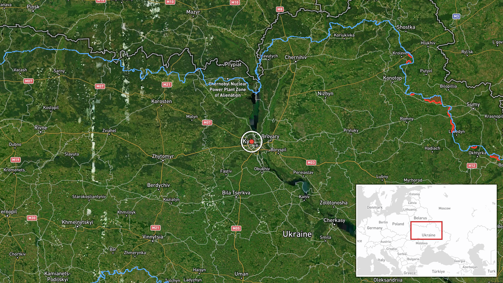
The location is recorded at settlement level for Vynohradar, Kyiv, with coordinates of 50.5 north and 30.42 east, rounded to one decimal place. That precision suggests a general point for the district rather than an exact address or facility, and the report itself names no specific site. Vynohradar is a residential area on the western side of Kyiv, a city built on the high right bank of the Dnipro. Nearby districts named in related reports include Sviatoshyn, Pochaina and Shuliavka, all in the western part of the capital.
Related events nearby
- Ukrainian air monitoring reports Russian jet-powered Shahed (Geran-3) drones tracked over Shuliavka and the Mi2026-10-20 12:08 UTC · Drone Transit · Shuliavka, Kyiv, Ukraine
- Ukrainian air monitoring: 1 Russian jet-powered Shahed (Geran-3) drone heading toward Shuliavka, Kyiv.2026-10-20 10:20 UTC · Drone Transit · Shuliavka, Kyiv, Ukraine
- Ukrainian air monitoring: 1 Russian jet-powered Shahed (Geran-3) drone heading toward Pochaina, Kyiv.2026-10-20 12:42 UTC · Drone Transit · Pochaina, Kyiv, Ukraine
- Ukrainian air monitoring: 1 Russian jet-powered Shahed (Geran-3) drone heading toward Pochaina, Kyiv.2026-10-20 12:34 UTC · Drone Transit · Pochaina, Kyiv, Ukraine
- Ukrainian air monitoring: 1 Russian jet-powered Shahed (Geran-3) drone heading toward Sviatoshyn, Kyiv.2026-10-20 12:28 UTC · Drone Transit · Sviatoshyn, Kyiv, Ukraine
▶ View this event on the live map

Intel Mapper aggregates open-source reports from monitored Telegram and X channels, geolocates them, cross-checks duplicates across sources and assigns a confidence score. Entries are updated as new confirmations arrive. Read how we verify events.