Two or more Russian jet-powered Shahed drones reported heading toward Mena, Chernihiv Oblast
What happened
Ukrainian air monitoring reported on Telegram via the channel @kpszsu that two or more Russian jet-powered Shahed (Geran-3) drones were heading toward Mena in Chernihiv Oblast, northern Ukraine, at about 17:14 UTC on 20 October 2026. The original Ukrainian-language post is brief, stating only that jet-type unmanned aerial vehicles were moving in the direction of Mena. The report describes a drone transit rather than a confirmed impact, and it does not mention casualties, damage, or the drones' ultimate fate. The event is recorded from a single channel with no independent confirmation at the time of compilation.
Context and assessment
Mena lies in the northern part of Chernihiv Oblast, close to the Desna valley and the border with Russia's Bryansk region, so drones entering from that direction often pass through this area on routes toward Chernihiv city and other northern targets. The related events show a sustained sequence of transit reports across the oblast over roughly 24 hours. Earlier that evening, formations of two and then three or more Geran-3 drones were tracked heading toward Chernihiv, and at 00:14 UTC on 20 October a group was reported moving from northern Kyiv Oblast into northern Chernihiv Oblast. A single drone was then seen passing the Shostka district heading southwest. Taken together, the pattern suggests repeated waves or overlapping flights through the region rather than one isolated launch. Operationally, such reports may indicate reconnaissance-by-fire routing, attempts to saturate air defence in the north, or drones being redirected after earlier tracking. These readings are inferences from the timing and direction of reports, not confirmed intent.
Sources and confidence
The event rests on one Telegram channel, @kpszsu, which is the Ukrainian Air Force's official account, and no second outlet is listed as having reported it. The single-source status and the official nature of the channel explain the confidence score of 8.0, which is high for a routine monitoring alert but not maximal because the message is terse and unverified by independent reporting. Confidence would rise with corroboration from regional military administrations, local officials, or open-source trackers of drone flight paths, or with confirmation of impacts. It would fall if later updates revised the drone count, retracted the direction, or indicated the drones were shot down or left the area.
Location
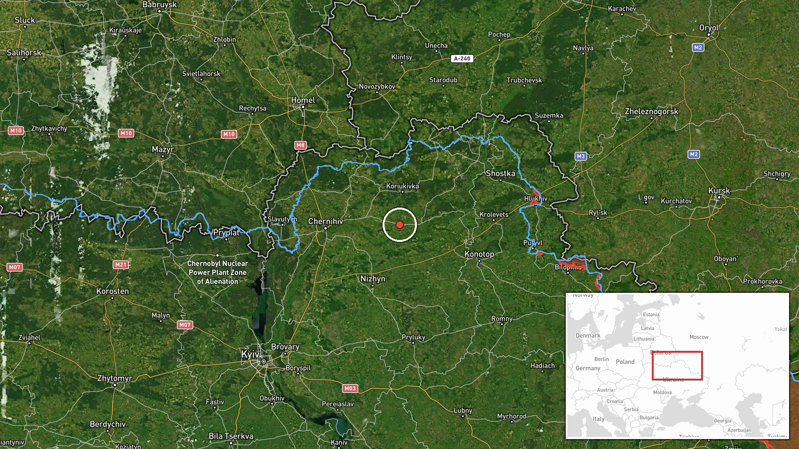
The location is recorded at settlement level for Mena, a small town in Chernihiv Oblast, with high location confidence. The coordinates of roughly 51.52 north and 32.21 east correspond to the town itself. Mena sits in a largely flat, wooded and agricultural landscape of northern Ukraine. Nearby features include the Desna river basin and forest tracts that border Russia's Bryansk region to the north and east, and the regional routes leading toward Chernihiv city to the west.
Related events nearby
- Ukrainian air monitoring: 3+ Russian jet-powered Shahed (Geran-3) drones passing Nova, heading toward Chernihi2026-10-19 23:44 UTC · Drone Transit · Chernihiv Oblast, Ukraine
- Ukrainian air monitoring: 2+ Russian jet-powered Shahed (Geran-3) drones heading toward Chernihiv.2026-10-19 21:01 UTC · Drone Transit · Chernihiv, Ukraine
- Ukrainian air monitoring: 3+ Russian jet-powered Shahed (Geran-3) drones passing Nova, heading toward northern2026-10-20 17:12 UTC · Drone Transit · northern Chernihiv Oblast, Ukraine
- Ukrainian air monitoring: 2+ Russian jet-powered Shahed (Geran-3) drones from northern Kyiv Oblast toward nort2026-10-20 00:14 UTC · Drone Transit · northern Chernihiv Oblast, Ukraine
- Ukrainian air monitoring: 1 Russian jet-powered Shahed (Geran-3) drone passing Shostka district, heading south2026-10-20 00:42 UTC · Drone Transit · Shostka district, Ukraine
▶ View this event on the live map

Intel Mapper aggregates open-source reports from monitored Telegram and X channels, geolocates them, cross-checks duplicates across sources and assigns a confidence score. Entries are updated as new confirmations arrive. Read how we verify events.