Russian jet-powered Shahed drone reported heading toward Hostomel, Kyiv Oblast
What happened
Ukrainian air monitoring reported on Telegram that one Russian jet-powered Shahed (Geran-3) drone was heading toward Hostomel, a settlement in Kyiv Oblast, at about 04:46 UTC on 21 October 2026. The original Ukrainian-language post, attributed to the @kpszsu channel, describes the event briefly as a jet-type unmanned aircraft flying toward Hostomel in Kyivshchyna, without giving any details about impact, damage, or casualties. The report concerns a drone in transit and does not describe a strike outcome. Because it is a single-channel report with no independent confirmation in the event data, the account should be read as a warning of a drone's reported direction rather than a verified impact.
Context and assessment
Hostomel lies northwest of Kyiv, near the Antonov airport and the Kyiv ring road corridor, and the area has been a recurring focus of Russian long-range drone activity since 2022. The related events in this dataset show a sequence of similar Geran-3 transit reports over the preceding day and a half: a report toward Vorzel on 20 October at 09:52 UTC, a report toward Irpin from Kyiv Oblast at 11:14 UTC, a report toward Hostomel at 13:34 UTC, and further reports toward Irpin at 02:25 UTC and toward Kotsyubynske at 04:47 UTC on 21 October. The repetition of settlements along the same northwestern approach to the capital suggests drones flying routes that pass over or near the Kyiv agglomeration, a pattern consistent with either targeting of the capital region or saturation tactics intended to stretch air defence. The jet-powered variant is faster and harder to intercept than older piston-engined Shaheds, which may explain why monitoring channels flag it specifically. Without more data, the sequence should not be taken to indicate a particular intended target.
Sources and confidence
The event rests on one Telegram channel, @kpszsu, which is the official Ukrainian Air Force channel and is generally regarded as a primary source for air alerts. The data records no independent cross-confirmation from other outlets or monitoring accounts, and the confidence score of 8.0 reflects that a credible official channel issued the report while the lack of corroboration and the absence of any impact information keep it below the top of the scale. Confidence would rise if other monitoring channels or regional authorities reported the same track, or if subsequent official statements confirmed the drone's flight path or its fate. It would fall if later updates contradicted the direction or the drone type, or if the track was revised as a false alarm.
Location
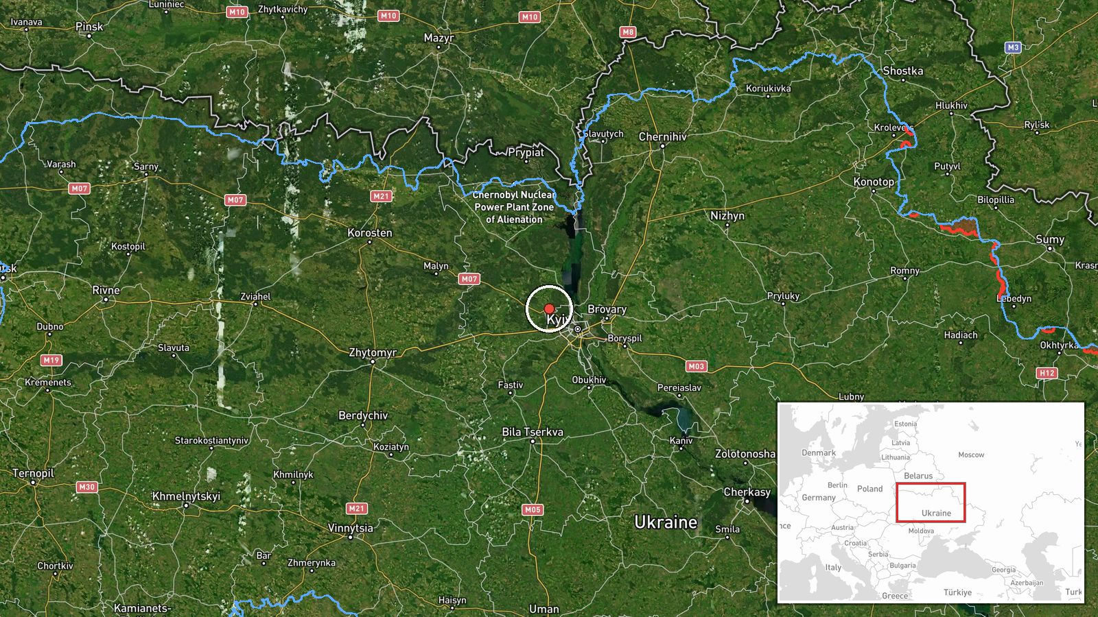
The location is a settlement-level match to Hostomel, Kyiv Oblast, with high location confidence, and the coordinates are approximately 50.568 N, 30.265 E. The position reflects the town centre rather than a specific facility, since the source names only the settlement. Hostomel sits on the northwestern outskirts of Kyiv, roughly 20 kilometres from the city centre, in flat terrain along the Irpin and Bucha river valleys with extensive forest and wetland belts. The Antonov airport and the M-06 highway are notable nearby features.
Related events nearby
- Ukrainian air monitoring: 1 Russian jet-powered Shahed (Geran-3) drone heading toward Hostomel.2026-10-20 13:34 UTC · Drone Transit · Hostomel, Ukraine
- Ukrainian air monitoring: 1 Russian jet-powered Shahed (Geran-3) drone heading toward Irpin.2026-10-21 02:25 UTC · Drone Transit · Irpin, Ukraine
- Ukrainian air monitoring: 1 Russian jet-powered Shahed (Geran-3) drone from Kyiv Oblast toward Irpin.2026-10-20 11:14 UTC · Drone Transit · Irpin, Ukraine
- Ukrainian air monitoring: 1 Russian jet-powered Shahed (Geran-3) drone heading toward Vorzel.2026-10-20 09:52 UTC · Drone Transit · Vorzel, Ukraine
- Ukrainian air monitoring: 1 Russian jet-powered Shahed (Geran-3) drone heading toward Kotsyubynske.2026-10-21 05:51 UTC · Drone Transit · Kotsyubynske, Ukraine
▶ View this event on the live map

Intel Mapper aggregates open-source reports from monitored Telegram and X channels, geolocates them, cross-checks duplicates across sources and assigns a confidence score. Entries are updated as new confirmations arrive. Read how we verify events.