Single Russian jet-powered Shahed drone reported transiting northern Zhytomyr Oblast heading west
What happened
Ukrainian air monitoring channel Telegram (@kpszsu) reported on 21 October 2026 at 11:13 UTC that one Russian jet-powered Shahed (Geran-3) drone was passing through northern Zhytomyr Oblast on a westward course. The original Ukrainian-language post describes a jet-powered UAV in the north of Zhytomyr region moving west, without naming a specific settlement or reporting any impact. The alert is a transit notice rather than a strike report, so no damage, casualties or interception are described. The event is recorded as a single-source report and no additional channel has been identified confirming it at the time of writing.
Context and assessment
Northern Zhytomyr Oblast sits on a corridor that Russian long-range drones have repeatedly used to move toward western and central Ukraine, and the region's road and rail links, along with its industrial and energy assets, make it a recurring point of monitoring. The related events show a clear pattern over the previous day and a half: on 20 October a report noted two or more Geran-3 drones passing the area, and a single drone was logged near Ovruch that same afternoon. Early on 21 October, separate transit reports placed drones heading toward Korosten and passing Cherniakhiv, and a later report placed one heading toward Zhytomyr itself. Taken together, these suggest a sequence of individual drones tracking westward through the oblast rather than a single isolated sighting. Operationally, staggered single-drone transits of this kind are often consistent with routing or decoy activity alongside larger salvos, though the data alone cannot confirm intent. Jet-powered variants are generally faster than the older piston-engine Shahed type, which shortens warning windows for towns along the route.
Sources and confidence
The event rests on one Telegram channel, @kpszsu, which is an official Ukrainian air-force monitoring account and is generally considered a timely source for airspace movements. No second independent outlet in the data corroborates this specific report, so cross-confirmation is absent. The confidence score of 8.0 reflects the authority of the channel and its consistent pattern with the surrounding related reports, while the single-source status and the lack of a precise location limit it. Confidence would rise with independent corroboration from radar-based reporting, regional military administration statements, or additional monitoring posts placing the same airframe. It would fall if later updates contradicted the westward heading or if the track could not be matched to the sequence of related reports.
Location
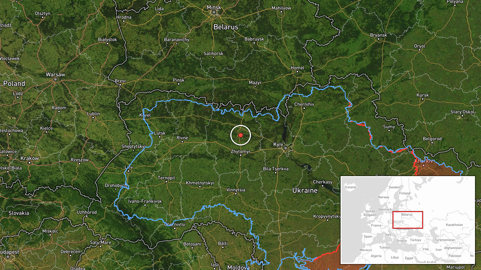
The coordinates correspond to the general northern part of Zhytomyr Oblast rather than a specific settlement or facility, so the location is coded at regional precision with low location confidence. The Telegram post names only the broad area, and the coordinates are a centroid for that district. The area is largely forested and marshland-influenced, with the Teteriv and Uzh river systems and the Polissia lowlands, and the nearby towns referenced in related reports, including Korosten, Ovruch and Cherniakhiv, lie within a short distance. The terrain is relatively flat, which makes low-altitude drone tracks easy to follow along river valleys and transport routes.
Related events nearby
- Ukrainian air monitoring: 1 Russian jet-powered Shahed (Geran-3) drone passing northern Zhytomyr Oblast, headi2026-10-21 12:14 UTC · Drone Transit · northern Zhytomyr Oblast, Ukraine
- Ukrainian air monitoring: 2+ Russian jet-powered Shahed (Geran-3) drones passing northern Zhytomyr Oblast, hea2026-10-20 13:40 UTC · Drone Transit · northern Zhytomyr Oblast, Ukraine
- Ukrainian air monitoring: 1 Russian jet-powered Shahed (Geran-3) drone heading toward Korosten.2026-10-21 03:28 UTC · Drone Transit · Korosten, Ukraine
- Ukrainian air monitoring: 1 Russian jet-powered Shahed (Geran-3) drone passing Cherniakhiv, heading west.2026-10-21 04:26 UTC · Drone Transit · Cherniakhiv, Ukraine
- Ukrainian air monitoring: 1 Russian jet-powered Shahed (Geran-3) drone heading toward Zhytomyr.2026-10-21 07:55 UTC · Drone Transit · Zhytomyr, Ukraine
▶ View this event on the live map

Intel Mapper aggregates open-source reports from monitored Telegram and X channels, geolocates them, cross-checks duplicates across sources and assigns a confidence score. Entries are updated as new confirmations arrive. Read how we verify events.