Single Russian Geran-3 jet drone reported transiting toward Khmelnytskyi Oblast, Ukraine
What happened
On 21 October 2026, at about 11:38 UTC, Ukrainian air monitoring reportedly flagged one Russian jet-powered Shahed-type drone, identified as a Geran-3, moving from the south of Vinnytsia Oblast toward Khmelnytskyi Oblast on a western heading. The report was published on Telegram by the channel @kpszsu, the account associated with Ukraine's air force monitoring messaging. The original post uses a motorcycle emoji and the phrase about a jet-type UAV crossing from southern Vinnytsia toward Khmelnytskyi on a western course. The wording describes a transit warning rather than a confirmed impact, and no strike, damage, or casualties are described in the source. The event is one of several similar alerts logged in the preceding two days.
Context and assessment
Khmelnytskyi Oblast sits in western Ukraine, a region that has repeatedly appeared on air-alert and drone-transit reporting as Russian long-range drones move between launch areas in the south and east and targets further west. Related entries in this dataset show a steady run of single-drone warnings, including one toward Khmelnytskyi city on 20 October, one toward Bar on the same day, one toward Liubar, and another from Rivne Oblast toward northern Khmelnytskyi Oblast on the morning of 21 October. Taken together, the pattern suggests a corridor of repeated overflights across the western oblasts rather than isolated incidents. Single jet-powered Geran-3 transits are typically reported as tracked flights, and such reports can indicate routing toward infrastructure, transport nodes, or defence assets, though the warnings themselves rarely reveal the intended target. Analysts would treat the cluster as evidence of sustained western-route activity rather than a specific strike plan.
Sources and confidence
The event rests on a single Telegram channel, @kpszsu, with no independent cross-confirmation in the supplied data. The confidence score of 8.0 reflects this single-source status, the absence of any reported impact, and the general nature of the transit wording. The score would rise if independent monitoring channels, regional military administrations, or subsequent reports of detonations or interceptions corroborated the track. It would fall further if the track were later revised, the drone were shown to have been a different type, or the alert were withdrawn. Related events from the same channel and date add some consistency but do not independently verify this specific track.
Location
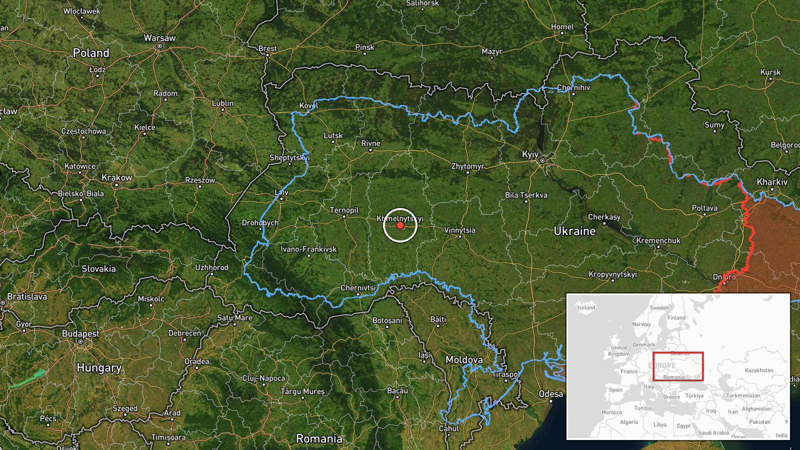
The location is recorded only at regional level, Khmelnytskyi Oblast, with coordinates of approximately 49.42 N, 26.98 E near the oblast centre. The precision is marked as region and location confidence as low, so the point should not be read as the drone's position or a target. The source describes movement from southern Vinnytsia toward Khmelnytskyi on a western course. The oblast lies in west-central Ukraine, a largely agricultural plain drained by the Southern Bug and Horyn river systems, with the city of Khmelnytskyi as the administrative centre.
Related events nearby
- Ukrainian air monitoring: 1 Russian jet-powered Shahed (Geran-3) drone from Rivne Oblast toward northern Khmel2026-10-21 09:32 UTC · Drone Transit · northern Khmelnytskyi Oblast, Ukraine
- Ukrainian air monitoring: 2+ Russian jet-powered Shahed (Geran-3) drones from Vinnytsia Oblast toward southern2026-10-21 12:13 UTC · Drone Transit · southern Khmelnytskyi Oblast, Ukraine
- Ukrainian air monitoring: 1 Russian jet-powered Shahed (Geran-3) drone heading toward Nova Ushytsya.2026-10-21 05:23 UTC · Drone Transit · Nova Ushytsya, Ukraine
- Ukrainian air monitoring: 1 Russian jet-powered Shahed (Geran-3) drone from Vinnytsia Oblast toward Murovani K2026-10-21 09:43 UTC · Drone Transit · Murovani Kurylivtsi, Ukraine
- Ukrainian air monitoring: 1 Russian jet-powered Shahed (Geran-3) drone heading toward Zhmerynka.2026-10-20 13:41 UTC · Drone Transit · Zhmerynka, Ukraine
▶ View this event on the live map

Intel Mapper aggregates open-source reports from monitored Telegram and X channels, geolocates them, cross-checks duplicates across sources and assigns a confidence score. Entries are updated as new confirmations arrive. Read how we verify events.