Ukrainian air monitoring reports Shahed-type drones over Sumy Oblast and toward Kharkiv
What happened
On 21 October 2026, at 18:38 UTC, Ukrainian air monitoring reported one Russian Shahed-type drone over Sumy Oblast in northern Ukraine and a separate Shahed-type drone heading toward Kharkiv from the north. The source, a Telegram channel (@kpszsu), says the Sumy-area drone was moving south toward Poltava region and west toward Chernihiv region. The original Ukrainian wording lists these as separate directions, so it is unclear whether they describe one drone or several. The English summary treats it as a single drone. The report describes no impacts, damage, or casualties. Attribution to Russia rests on the report's identification of the drones as Russian Shahed-type, a label commonly applied to Iranian-designed Geran-type loitering munitions used by Russian forces.
Context and assessment
Sumy Oblast borders Russia and has seen repeated fighting along the front in its northern and eastern districts. Earlier on 21 October, the same channel logged a Shahed-type drone heading toward Sumy, and at 09:38 a drone passing northern Kharkiv Oblast heading southwest. At 16:39 another drone was reported passing northern Sumy Oblast heading west. The previous evening, a front-line airstrike near Kindrativka involved five KAB glide bombs and 38 shellings against Ukrainian positions and settlements in the Northern Slobozhanskyi area. Russian shelling also reportedly hit about twenty settlements in Sumy Oblast that morning, with an airstrike on Pustohorod and shelling of Mykhalchyna-Sloboda in Chernihiv Oblast. Together these reports suggest sustained activity across the border region rather than a single raid. Drones logged transiting or heading toward several oblasts may indicate route probing, efforts to stretch air defenses, or movement toward targets further south or west, but the data does not establish which. No specific target is named, so the event should be read as aerial movement rather than a confirmed strike.
Sources and confidence
Only one channel is listed: Telegram @kpszsu. No other outlet, official statement, or imagery in the data independently confirms the sightings. The confidence score of 8.0 is fairly high for a single channel, which may reflect the channel's consistent role in air-monitoring reporting and the coherence of related entries from the same feed. It is not higher because the reports are uncorroborated and the direction wording is ambiguous. Confidence would rise with cross-checks from other air-monitoring or regional officials, or with reports of impacts. It would fall if the channel corrects the drone count or directions, or if later reports contradict the sightings.
Location
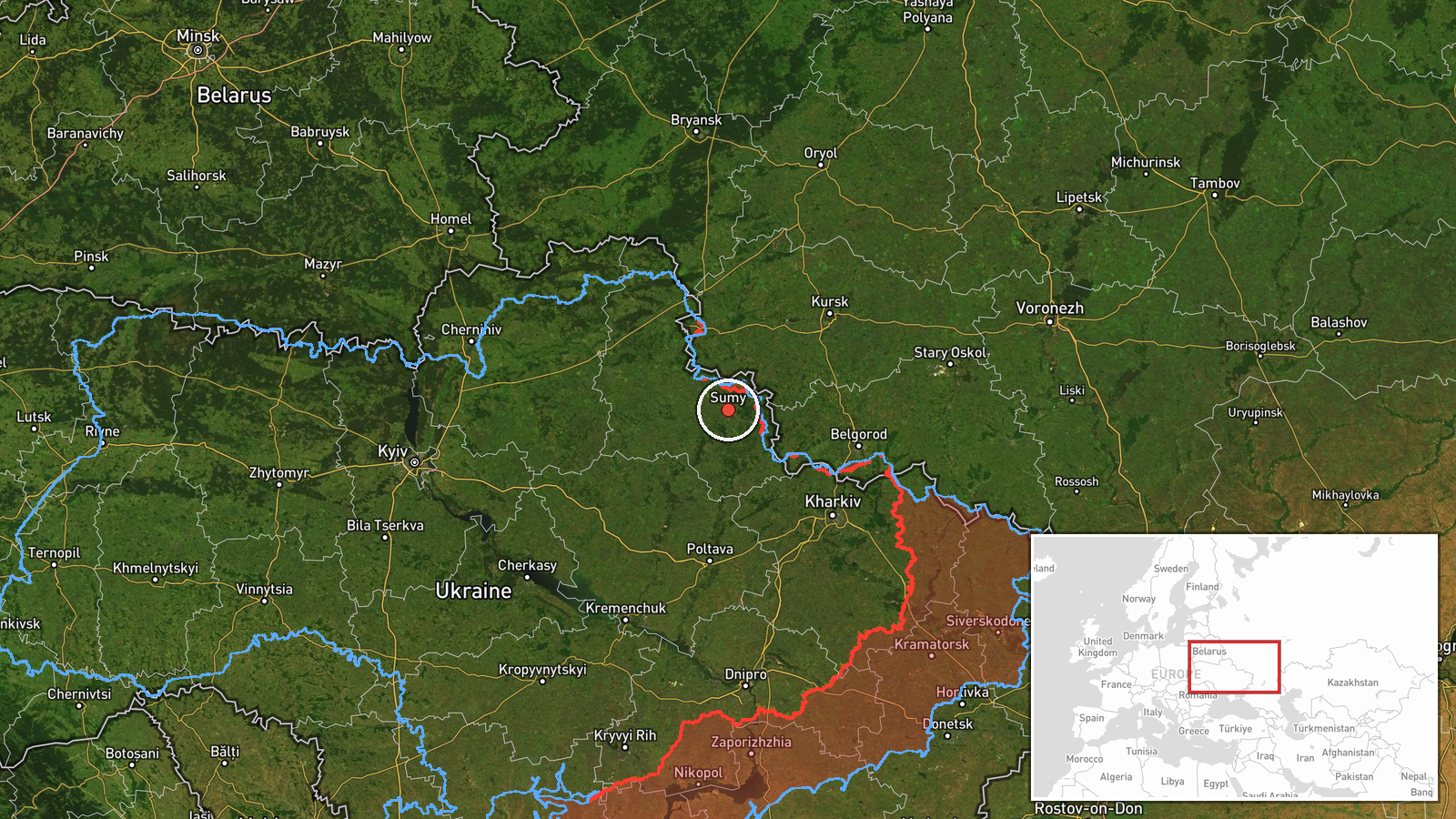
The location is region-level with low confidence, and no settlement or facility is named. The coordinates, about 50.91 N and 34.80 E, coincide with the city of Sumy, but the report does not place the drone there, so treat this as an oblast-level placeholder. Sumy Oblast lies in northeastern Ukraine on the Russian border, with Chernihiv Oblast to the north and west, Poltava to the south, and Kharkiv to the east, matching the directions named in the reports.
Related events nearby
- Ukrainian air monitoring: 1 Russian Shahed-type drone heading toward Sumy.2026-10-21 09:37 UTC · Drone Transit · Sumy, Ukraine
- Russian forces on the Northern Slobozhanshchyna and Kursk axes carried out one airstrike, two guided aerial bo2026-10-21 19:02 UTC · Airstrike · Near Kindrativka, Sumy, Ukraine (front line, estim
- Russian shelling hit about 20 settlements in Sumy Oblast, and an airstrike hit Pustohorod; Chernihiv Oblast's 2026-10-21 05:03 UTC · Artillery · Bezsalivka, Sumy Oblast, Ukraine
- Ukrainian air monitoring: 1 Russian Shahed-type drone passing northern Sumy Oblast, heading west.2026-10-21 16:39 UTC · Drone Transit · northern Sumy Oblast, Ukraine
- Ukrainian air monitoring: 1 Russian Shahed-type drone passing northern Kharkiv Oblast, heading southwest.2026-10-21 09:38 UTC · Drone Transit · northern Kharkiv Oblast, Ukraine
▶ View this event on the live map

Intel Mapper aggregates open-source reports from monitored Telegram and X channels, geolocates them, cross-checks duplicates across sources and assigns a confidence score. Entries are updated as new confirmations arrive. Read how we verify events.