Jet-powered Shahed drones reported transiting Vinnytsia, Zhytomyr and Volyn oblasts westward
What happened
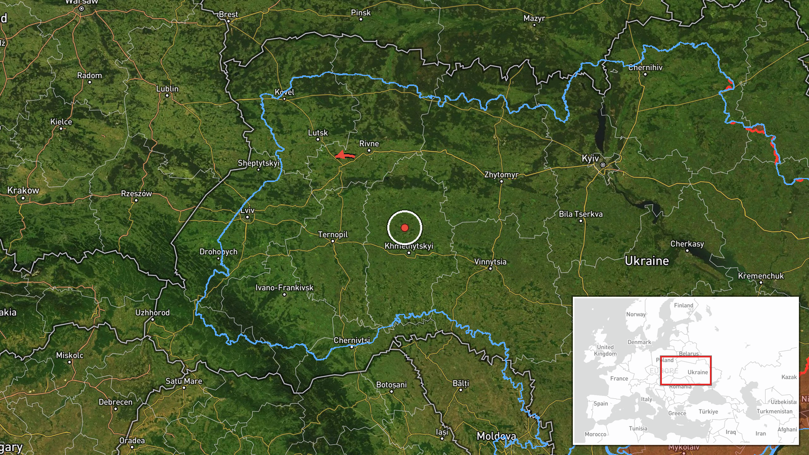
Ukrainian air monitoring, relayed through the Telegram channel @kpszsu, reported on 21 October 2026 at 18:54 UTC that at least five jet-powered Shahed (Geran-3) drones were moving through three separate areas of western and northern Ukraine. Two or more were reported passing the southern part of Vinnytsia Oblast on a westward heading, and two or more were reported passing the northern part of Zhytomyr Oblast, also heading west. A separate single drone was reported in eastern Volyn Oblast with its course set toward Lutsk, the regional capital. The original Ukrainian wording calls the aircraft reactive drones and uses the phrase for a westward course. The report does not describe impacts, casualties or damage, and it names no specific settlement as a target.
Context and assessment
Southern Vinnytsia Oblast appeared repeatedly in the same day's monitoring. Earlier on 21 October, a single drone was reported passing the area at 17:39 UTC, and a group of two or more drones was reported moving from Kirovohrad Oblast toward southern Vinnytsia at 17:21. Smaller single-drone reports placed aircraft near Klembivka at 16:17, Berezivka at 05:08 and the Sharhorod area at 02:55. Together these entries suggest a sustained pattern of Shahed-type aircraft crossing central-western Ukraine along routes running from the east and south toward the western part of the country, rather than one isolated incident. Vinnytsia lies on a corridor between Kirovohrad and the western oblasts, and Zhytomyr and Volyn sit along the same westward path. Transit reports of this kind usually indicate drones in flight rather than strikes on the ground, and they are typically used to alert civil defence and air units. The jet-powered Geran-3 variant is faster than earlier piston-engine Shaheds, so tracking it across a wide area may be harder, which could also explain the spread of reports. Nothing in the data links these transits to a specific target, so any intent to hit Lutsk or another city remains speculative.
Sources and confidence
The report rests on one channel, the Telegram account @kpszsu, which is widely understood to be the Ukrainian Air Force's public channel for air-threat notices. No independent outlet, wire service or second monitoring source appears in the data for this entry, so cross-confirmation is absent. The confidence score of 8.0 reflects a credible official-style source with a clear and consistent message format, offset by the single-channel basis and the lack of corroboration. Confidence would rise with independent confirmation such as radar data, a second channel, or follow-up notices of interceptions or impacts. It would fall if later corrections appeared, or if the route descriptions were revised.
Location
The location is region-level rather than settlement-level. The coordinates (48.68495, 28.47) mark a general point in southern Vinnytsia Oblast and do not identify a village, which is why location confidence is rated low. The area lies within the Podilia upland, a region of agricultural plateaus and river valleys drained by the Southern Bug and Dniester basins. Regional road and rail links cross the area, connecting Vinnytsia with the south and west of the country.
Related events nearby
- Ukrainian air monitoring: 1 Russian jet-powered Shahed (Geran-3) drone passing southern Vinnytsia Oblast, head2026-10-21 17:39 UTC · Drone Transit · southern Vinnytsia Oblast, Ukraine
- Ukrainian air monitoring: 2+ Russian jet-powered Shahed (Geran-3) drones from Kirovohrad Oblast toward souther2026-10-21 17:21 UTC · Drone Transit · southern Vinnytsia Oblast, Ukraine
- Ukrainian air monitoring: 1 Russian jet-powered Shahed (Geran-3) drone heading toward Sharhorod.2026-10-21 02:55 UTC · Drone Transit · Sharhorod, Ukraine
- Ukrainian air monitoring: 1 Russian jet-powered Shahed (Geran-3) drone from southern Vinnytsia Oblast toward K2026-10-21 16:17 UTC · Drone Transit · Klembivka, Ukraine
- Ukrainian air monitoring: 1 Russian jet-powered Shahed (Geran-3) drone from Vinnytsia Oblast toward Berezivka.2026-10-21 05:08 UTC · Drone Transit · Berezivka, Ukraine
▶ View this event on the live map

Intel Mapper aggregates open-source reports from monitored Telegram and X channels, geolocates them, cross-checks duplicates across sources and assigns a confidence score. Entries are updated as new confirmations arrive. Read how we verify events.