Single jet-powered Shahed (Geran-3) drone reported heading toward Khmelnytskyi from the south
What happened
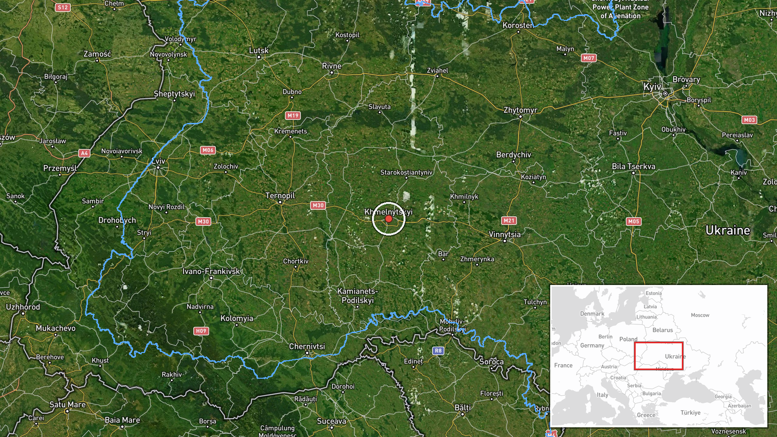
Ukrainian air monitoring reported one Russian jet-powered Shahed-type drone, identified as a Geran-3, on a course toward Khmelnytskyi, approaching from the south. The report was posted on 22 October 2026 at 17:24 UTC. Its original wording, in Ukrainian, reads roughly as 'jet-type UAV heading to Khmelnytskyi from the south,' and it describes the drone's track rather than any impact. No strike, detonation, or damage is described in the report. The sole source is the Telegram channel @kpszsu, which posts Ukrainian air-monitoring alerts. The event is logged as a drone transit, meaning the object was tracked moving through airspace, not confirmed as striking a target.
Context and assessment
Khmelnytskyi is a regional centre in western Ukraine, and the oblast has been a recurring corridor for long-range drones moving westward from the south and east. The related events show a sequence on the same day and the day before. A Geran-3 was reported near Shepetivka from the northern part of the oblast at 16:57 UTC, another passed Zhmerynka at 16:58 and again at 17:02, and a further track was logged at 16:59 as it passed Zhmerynka toward Khmelnytskyi Oblast. On 21 October a drone was reported moving from southern Khmelnytskyi Oblast toward Dunayivtsi. Taken together, these reports suggest repeated overflights of the oblast rather than a single isolated object. Russia's use of jet-powered variants is widely noted as offering higher speed than the older piston-engine Shahed design. The region hosts military infrastructure, and the Khmelnytskyi area has historically been associated with air force facilities, so tracking of drones in this zone is consistent with air-defence monitoring. Operationally, the pattern may indicate routing through the oblast toward targets further west or northwest, or decoy and saturation tactics, but the reports alone do not establish intent.
Sources and confidence
The event rests on one Telegram channel, @kpszsu, and no independent outlet or second monitoring feed is listed in the data. The confidence score of 8.0 reflects a precise location tied to a named city and a clearly stated track, but it is capped by single-channel sourcing. The related events are of the same type and come from the same monitoring stream, so they corroborate the pattern without independently verifying this particular track. Confidence would rise if a second official air-monitoring account, a regional administration statement, or open-source tracking data placed a drone over Khmelnytskyi at a matching time. It would fall if later updates revised the object's type, direction, or whether it was a drone at all.
Location
The location is recorded at settlement level, with coordinates of approximately 49.42 N, 26.98 E, placing the point at the city of Khmelnytskyi rather than a specific facility. Location confidence is rated high because the report names the city directly. Khmelnytskyi lies in the Podillia upland of western Ukraine, an area of rolling terrain and river valleys. The Southern Bug river flows through the wider oblast. Nearby settlements named in related reports include Shepetivka to the north and Zhmerynka to the south-west, the latter a railway junction in neighbouring Vinnytsia Oblast.
Related events nearby
- Ukrainian air monitoring: 1 Russian jet-powered Shahed (Geran-3) drone passing Zhmerynka, heading toward Khmel2026-10-22 16:59 UTC · Drone Transit · Khmelnytskyi Oblast, Ukraine
- Ukrainian air monitoring: 1 Russian jet-powered Shahed (Geran-3) drone from northern Khmelnytskyi Oblast towar2026-10-22 16:57 UTC · Drone Transit · Shepetivka, Ukraine
- Ukrainian air monitoring: 1 Russian jet-powered Shahed (Geran-3) drone heading toward Zhmerynka.2026-10-22 17:02 UTC · Drone Transit · Zhmerynka, Ukraine
- Ukrainian air monitoring: 1 Russian jet-powered Shahed (Geran-3) drone heading toward Zhmerynka.2026-10-22 16:58 UTC · Drone Transit · Zhmerynka, Ukraine
- Ukrainian air monitoring: 1 Russian jet-powered Shahed (Geran-3) drone from Khmelnytskyi Oblast toward souther2026-10-21 18:10 UTC · Drone Transit · southern Ternopil Oblast, Ukraine
▶ View this event on the live map

Intel Mapper aggregates open-source reports from monitored Telegram and X channels, geolocates them, cross-checks duplicates across sources and assigns a confidence score. Entries are updated as new confirmations arrive. Read how we verify events.