Russian Shahed drones transit Odesa Oblast heading inland toward Cherkasy
What happened
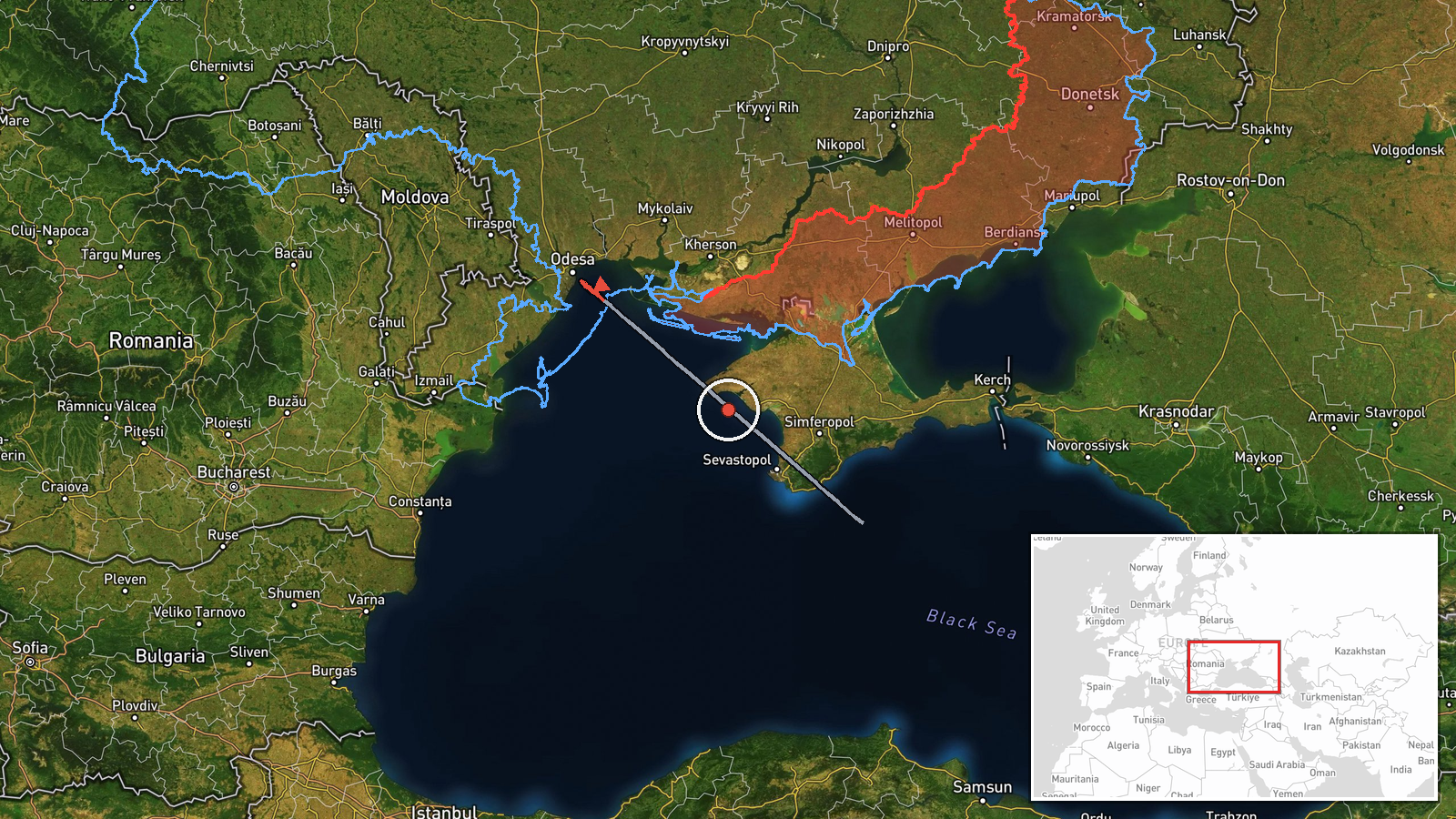
Two Russian reactive kamikaze drones of Shahed-type design were detected crossing Odesa Oblast near the Dachne and Illinka sector on the morning of 4 September, flying inland in the direction of Cherkasy Oblast. The report, issued by the Telegram channel @war_monitor, described the drones as 'reactive' variants transiting through the region. No immediate impact or interception was noted in the available report.
Context and assessment
The detection occurs amid sustained Russian air operations against Odesa Oblast. On 3 September, Ukrainian monitors tracked a similar Shahed drone entering from the Black Sea; hours later on 4 September morning, cruise missiles struck Chornomorsk port and Lymanka village. The inbound drone track toward Cherkasy suggests possible targeting of infrastructure or military positions inland, consistent with Russia's pattern of multi-axis drone and missile strikes designed to disrupt Ukrainian logistics and command nodes. Cherkasy lies approximately 240 kilometres north and represents a rear-area industrial and administrative center.
Sources and confidence
Reported solely by Telegram channel @war_monitor on 4 September 2026. Single-source detection limits independent confirmation; confidence score of 6.0 reflects reliable channel history but absence of corroborating Ukrainian official or alternative monitoring reports. Confirmation from Ukrainian air force or additional channels would strengthen confidence. Visual or radar confirmation imagery would significantly raise assessment reliability.
Location
Dachne settlement, Odesa Oblast, located in the southwestern coastal region near Illinka sector, approximately 40 kilometres north of Odesa city. The settlement sits inland from the Black Sea coast in farmland characteristic of the oblast's interior. Coordinates place the detection zone in the approach corridor typically used for drones transiting from maritime staging areas toward central and northern Ukrainian targets.
Related events nearby
- Ukrainian military situation report as of 00:00 UTC 05 September 2026. Enemy declared ceasefire regime until 02026-09-04 21:05 UTC · Statement · Ukraine
- One Russian reactive (jet-powered) Shahed-variant kamikaze drone detected in transit toward Pereyaslav, Kyiv O2026-09-05 04:43 UTC · Drone Transit · Pereyaslav, Kyiv Oblast, Ukraine
- Russian Shahed-type kamikaze drones detected transiting Kyiv Oblast near Bilohorodka and Obukhiv sectors, head2026-09-04 10:19 UTC · Drone Transit · Kozyn, Kyiv Oblast, Ukraine
- Russian FPV drone deployed net-based interdiction and shot down a Ukrainian Leleka-100 reconnaissance UAV duri2026-09-04 09:25 UTC · Drone Shootdown · Boryspil, Kyiv Oblast, Ukraine
- Russian journalist records moment of being struck by shrapnel while on frontline in Russia-Ukraine conflict.2026-09-05 05:26 UTC · Combat · Kyiv Oblast, Ukraine
▶ View this event on the live map
Intel Mapper aggregates open-source reports from monitored Telegram and X channels, geolocates them, cross-checks duplicates across sources and assigns a confidence score. Entries are updated as new confirmations arrive. Read how we verify events.