Russian Shahed drones transit Chernihiv Oblast amid sustained aerial campaign
What happened
Ukrainian air monitoring reported two Russian Shahed-variant reactive (jet-powered) unmanned aerial vehicles transiting past Senkivka and Semenivka in Chernihiv Oblast on 27 September at 13:19 UTC. The report, issued via Telegram by @war_monitor, did not specify whether the drones were engaged, intercepted, or their intended destination. The transit represents part of ongoing Russian air operations across northern Ukraine.
Context and assessment
Chernihiv Oblast, located in Ukraine's north near the Belarus border, remains within range of Russian air operations. This transit follows a massive week-long Russian aerial assault involving over 2,200 attack drones and ballistic missiles, and occurs amid a broader pattern of Shahed transits detected across central and northern Ukraine on 26–27 September—including routes through Poltava and Kyiv regions. Such drone transits typically support reconnaissance, artillery guidance, or serve as vectors for kamikaze attacks. The frequency and geographic spread suggest Russia is sustaining high-tempo air operations despite Ukrainian air defense efforts.
Sources and confidence
Single-source report from Telegram channel @war_monitor, which monitors Ukrainian air defense alerts. No cross-confirmation from alternative channels provided. Confidence score of 6.0 reflects single-source status and lack of independent verification; confirmation via Ukrainian official channels or air defense reports would strengthen confidence. Absence of engagement reports suggests either the drones transited unopposed or interception details were not disclosed.
Location
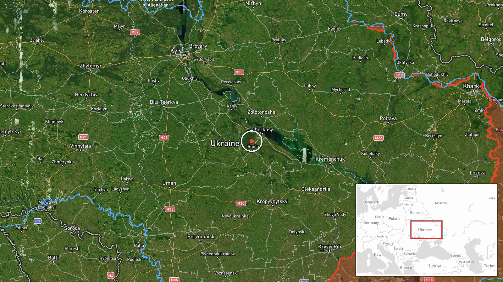
Senkivka and Semenivka are settlements in Chernihiv Oblast, northern Ukraine, approximately 120 km north of Kyiv. The region lies in Ukraine's border zone near Belarus and is characterized by open terrain interspersed with towns. Precise coordinates map to the broader Chernihiv region; exact transit altitude and vector were not specified in the report.
Related events nearby
- Russia conducted a massive week-long assault on Ukraine: 2,200+ attack drones, ~1,650 aerial bombs, and 38 mis2026-09-27 08:25 UTC · Report · Ukraine (National)
- Russian Shahed/reactive (jet-propelled) drone transiting through Globyne area heading toward Kyiv region. Part2026-09-26 18:53 UTC · Drone Transit · Globyne, Poltava Oblast, Ukraine
- Russia released footage of Ukrainian kamikaze drones being shot down. The video evidence demonstrates air defe2026-09-26 19:40 UTC · Drone Shootdown · Kyiv, Ukraine
- Ukrainian FPV-kamikaze drones targeted Russian soldiers. Video evidence released showing attack on Russian mil2026-09-26 19:00 UTC · UAS Strike · Kyiv, Ukraine
- Russian Shahed/reactive (jet-propelled) drone transiting over Lukyanivka-Kurenivka corridor, Kyiv at high alti2026-09-26 18:53 UTC · Drone Transit · Lukyanivka, Shevchenko District, Kyiv, Ukraine
▶ View this event on the live map
Intel Mapper aggregates open-source reports from monitored Telegram and X channels, geolocates them, cross-checks duplicates across sources and assigns a confidence score. Entries are updated as new confirmations arrive. Read how we verify events.