Russian Shahed drone detected transiting over Brovary near Kyiv
What happened
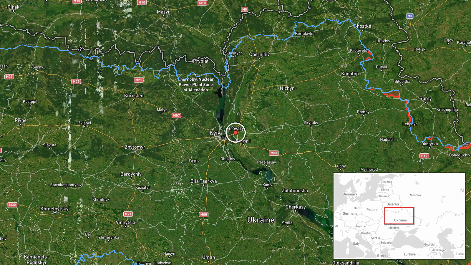
Ukrainian air monitoring reported the detection of a Russian Shahed-type kamikaze drone over Brovary, a suburb northeast of Kyiv, on October 1 at 17:14 UTC. The drone was identified as part of a broader Russian aerial operation targeting the Kyiv region that morning. A second detection was also reported near Nemishayeve. The report comes from Ukrainian air defense monitoring channels tracking drone movements across Kyiv Oblast.
Context and assessment
Brovary lies approximately 20 kilometers northeast of central Kyiv and represents a key transit corridor for Russian aerial attacks on the capital. The detection occurred amid a coordinated multi-drone assault on October 1, with related reports indicating Shahed-136 drones transiting near Velyka Dymerka, Lisovyi, and Bortnychi—all areas in the approach vector to Kyiv proper. Ukrainian air defense had maintained elevated alert status across Kyiv Oblast since 15:34 UTC that day. These transit detections suggest Russia continued its pattern of launching kamikaze drones toward the Kyiv region, though the specific intended targets remain unclear from available reporting. Earlier that morning, Ukrainian F-16s intercepted at least one Geran-4 variant over Kyiv airspace.
Sources and confidence
Report sourced to Telegram channel @war_monitor, a Ukrainian military monitoring account. Single-source reporting limits independent cross-confirmation; confidence score of 6.0 reflects Ukrainian official air monitoring but absence of secondary corroboration. Confidence would increase with corroborating reports from additional Ukrainian air defense channels or damage assessments; it would lower if air defense intercepts were subsequently reported for this drone.
Location
Brovary is a city in Kyiv Oblast, approximately 20 kilometers northeast of central Kyiv on the eastern bank of the Dnieper River. It serves as a major suburban and industrial center. The settlement-level precision is based on Ukrainian air monitoring designation; exact altitude and precise track are not specified in available data.
Related events nearby
- Russian Shahed-type kamikaze drone detected transiting from Troieshchyna toward Lisovyi (Ukrainian air monitor2026-10-01 17:02 UTC · Drone Transit · Lisovyi, Ukraine
- Russian Shahed-136 reactive kamikaze drones detected transiting near Brovary in Kyiv Oblast en route toward ce2026-10-01 17:01 UTC · Drone Transit · Velyka Dymerka, Ukraine
- Ukrainian air defense (AirAlert/дорозвідка) reports successful air defense readiness/alert status across Kyiv 2026-10-01 15:34 UTC · Drone Transit · Kyiv Oblast, Ukraine
- Russian Shahed-type kamikaze drone detected over Bortnychi (Ukrainian air monitoring).2026-10-01 17:07 UTC · Drone Transit · Bortnychi, Ukraine
- Ukrainian F-16 fighter intercepted and destroyed Russian Geran-4 (Shahed variant) suicide drone with air-to-ai2026-10-01 05:29 UTC · Drone Shootdown · Kyiv, Kyiv Oblast, Ukraine
▶ View this event on the live map
Intel Mapper aggregates open-source reports from monitored Telegram and X channels, geolocates them, cross-checks duplicates across sources and assigns a confidence score. Entries are updated as new confirmations arrive. Read how we verify events.