Single Russian Banderol cruise missile reported heading toward Khmelnytskyi Oblast, Ukraine
What happened
Ukrainian air monitoring reported on Telegram (@war_monitor) that one Russian Banderol mini cruise missile was heading toward Khmelnytskyi Oblast in western Ukraine. The original Ukrainian-language post, headed by Vinnytsia region, says a single Banderol is moving in the direction of Khmelnytskyi region. It gives no launch point, no precise position at a given time, and no impact information. The report is timestamped 18 October 2026 at 19:33 UTC. Because the detail rests on one monitoring post, it should be read as an air-threat warning rather than a confirmed strike. Nothing in the source describes damage, casualties, or interception.
Context and assessment
Khmelnytskyi Oblast lies in western Ukraine, north of Vinnytsia, and hosts airfield and energy infrastructure, including the Khmelnytskyi nuclear power plant at Netishyn. This report names no target, however. The related reports show a sustained sequence of jet-powered Geran-3 drone transits earlier the same day: one over Khmelnytskyi at 06:38 UTC, another moving from Vinnytsia Oblast toward Khmelnytskyi at 06:34, drones over Krasyliv at 06:57 and passing Krasyliv heading north at 06:44, and one from Vinnytsia toward Derazhnya at 06:47. Taken together, these reports describe repeated air activity crossing the oblast over several hours. A cruise missile reported roughly thirteen hours later on a similar axis fits a broader pattern in which drones are followed by faster, harder-to-intercept missiles, a mix often used to stress air defences. Operationally, this may indicate a continued campaign against western Ukraine rather than a single isolated launch. The time gap and the single-source basis mean no direct link to the morning drones can be confirmed.
Sources and confidence
Only one channel, Telegram (@war_monitor), reported this event, so the source count is 1 and the dataset holds no independent cross-confirmation. The confidence score of 6.0 is moderate-to-low, consistent with a single unverified monitoring post that offers no launch data, no position fix, and no imagery. Confidence would rise with corroboration from Ukrainian Air Force statements, a second independent monitor, or local authority reports of an air alert or debris. It would fall if the channel is found to have recycled older warnings or if no later report matches the track.
Location
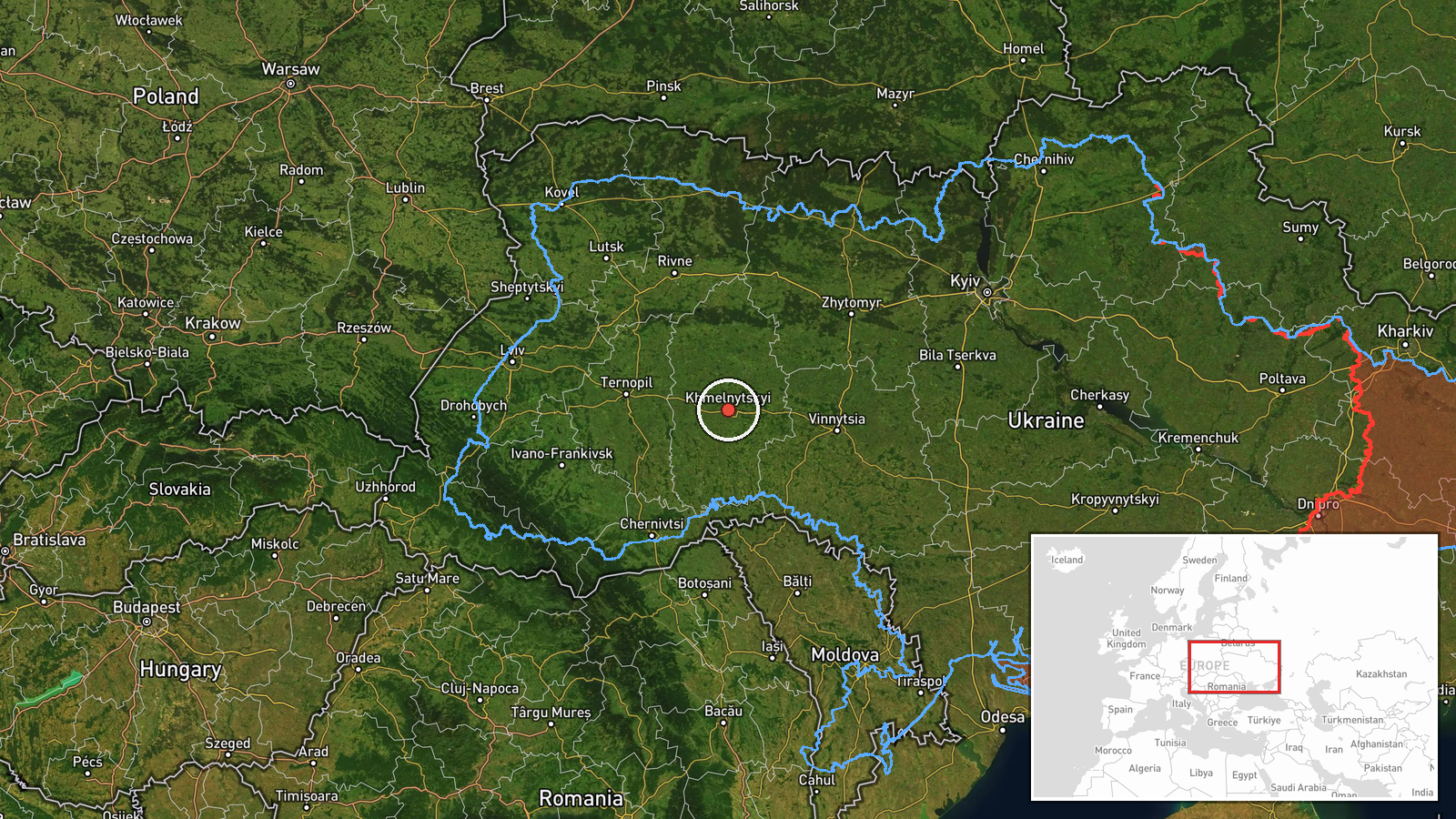
The location is recorded only at region level. The coordinates 49.42 N, 26.98 E approximate the centre of Khmelnytskyi Oblast, and the location confidence is marked low. The source names the oblast as the direction of travel, not a settlement or facility, so the point should not be read as a target. The oblast is in western Ukraine, on the Podillia upland, and borders Vinnytsia and several other regions. Its terrain is mainly rolling farmland and river valleys, with the Southern Bug river system running through the region.
Related events nearby
- Ukrainian air monitoring: 1 Russian jet-powered Shahed (Geran-3) drone over Khmelnytskyi.2026-10-18 06:38 UTC · Drone Transit · Khmelnytskyi, Ukraine
- Ukrainian air monitoring: 1 Russian jet-powered Shahed (Geran-3) drone from Vinnytsia Oblast toward Khmelnytsk2026-10-18 06:34 UTC · Drone Transit · Khmelnytskyi, Ukraine
- Ukrainian air monitoring: 1 Russian jet-powered Shahed (Geran-3) drone over Krasyliv.2026-10-18 06:57 UTC · Drone Transit · Krasyliv, Ukraine
- Ukrainian air monitoring: 1 Russian jet-powered Shahed (Geran-3) drone passing Krasyliv, heading north.2026-10-18 06:44 UTC · Drone Transit · Krasyliv, Ukraine
- Ukrainian air monitoring: 1 Russian jet-powered Shahed (Geran-3) drone from Vinnytsia Oblast toward Derazhnya.2026-10-18 06:47 UTC · Drone Transit · Derazhnya, Ukraine
▶ View this event on the live map

Intel Mapper aggregates open-source reports from monitored Telegram and X channels, geolocates them, cross-checks duplicates across sources and assigns a confidence score. Entries are updated as new confirmations arrive. Read how we verify events.