Russian FPV drone reportedly hits Ukrainian soldiers evacuating civilians near Yampil', Donetsk
What happened
A post from the X account @ConflictTR, written in Turkish, reports that Ukrainian soldiers were struck by a Russian FPV drone while they were evacuating civilians. The post is timestamped 15 October 2026 at 21:51 UTC and gives no casualty figures, no unit identification, and no precise place name beyond the general area. The source wording is brief and does not describe the damage, how many people were affected, or whether any civilians were hurt. The attribution to Russian forces rests on that single account. An FPV drone is a small first-person-view unit, usually flown by an operator watching a live video feed, and such drones are typically used at short range near the front line. No second independent outlet has matched the report in the data available.
Context and assessment
The reported location lies in Donetsk Oblast, part of the eastern front where Russian and Ukrainian forces have fought intensively for a long period. Evacuation movements close to the front are dangerous because short-range drones can loiter over roads and tree lines and strike slow-moving vehicles or foot groups. The same day's data includes several Geran-3 jet-powered Shahed transits logged by Ukrainian air monitoring at Lazurnyi at 07:24 UTC, Blyzniuky at 03:35 UTC, and Kalynivskyi at 09:18 and 18:30 UTC, indicating sustained long-range drone traffic across northern and central Ukraine. These long-range transits are different in type and location from the FPV incident and cannot be linked to it on current evidence. More relevant is a Ukrainian strike reported at 13:03 UTC on a Russian site used to store, prepare and launch attack drones in Donetsk region, with explosions and air defense activity reported. Taken together, the entries suggest a drone-heavy day on both sides of the oblast. The report may indicate that Russian units are contesting the movement of evacuation teams in this sector, but one post cannot establish intent or a broader pattern.
Sources and confidence
All of the event data comes from one channel, X account @ConflictTR. No wire service, Ukrainian official statement, regional administration notice, or other open-source outlet in the dataset corroborates the strike. The confidence score of 6.3 reflects a single source, a short text without detail, and a low-confidence location. Confidence would rise with verifiable footage or imagery, an official Ukrainian military or regional statement, or a named unit and place. It would fall if the account were retracted, if the imagery proved to be older material, or if the post were found to describe a different incident.
Location
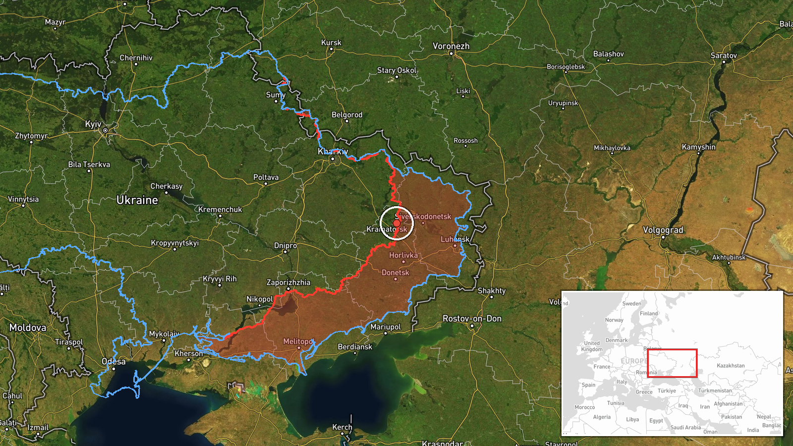
The location is approximate. It is assigned to the settlement of Yampil' in Donetsk Oblast, and the coordinates are recorded at region precision, so the pin marks an estimated area rather than a verified site. The point is placed near the front line in eastern Ukraine. The data does not name nearby features, but the surrounding Donetsk terrain is largely open farmland and scattered settlements, which affects how drone operators can observe and approach targets.
Related events nearby
- Ukrainian air monitoring: 1 Russian jet-powered Shahed (Geran-3) drone passing Lazurnyi, heading west.2026-10-15 07:24 UTC · Drone Transit · Lazurnyi, Ukraine
- Ukrainian air monitoring: 1 Russian jet-powered Shahed (Geran-3) drone from Kharkiv Oblast toward Blyzniuky.2026-10-15 03:35 UTC · Drone Transit · Blyzniuky, Ukraine
- Ukrainian forces struck a Russian storage, preparation, and launch site for attack drones in Donetsk region. E2026-10-15 13:03 UTC · UAS Strike · Donetsk Oblast, Ukraine
- Ukrainian air monitoring: 1 Russian jet-powered Shahed (Geran-3) drone over Kalynivskyi.2026-10-15 18:30 UTC · Drone Transit · Kalynivskyi, Ukraine
- Ukrainian air monitoring: 1 Russian jet-powered Shahed (Geran-3) drone from Vinnytsia Oblast toward Kalynivsky2026-10-15 09:18 UTC · Drone Transit · Kalynivskyi, Ukraine
▶ View this event on the live map

Intel Mapper aggregates open-source reports from monitored Telegram and X channels, geolocates them, cross-checks duplicates across sources and assigns a confidence score. Entries are updated as new confirmations arrive. Read how we verify events.