Single-source report: Russian drone planted flag on Ukrainian roof, then destroyed by Ukrainian drone
What happened
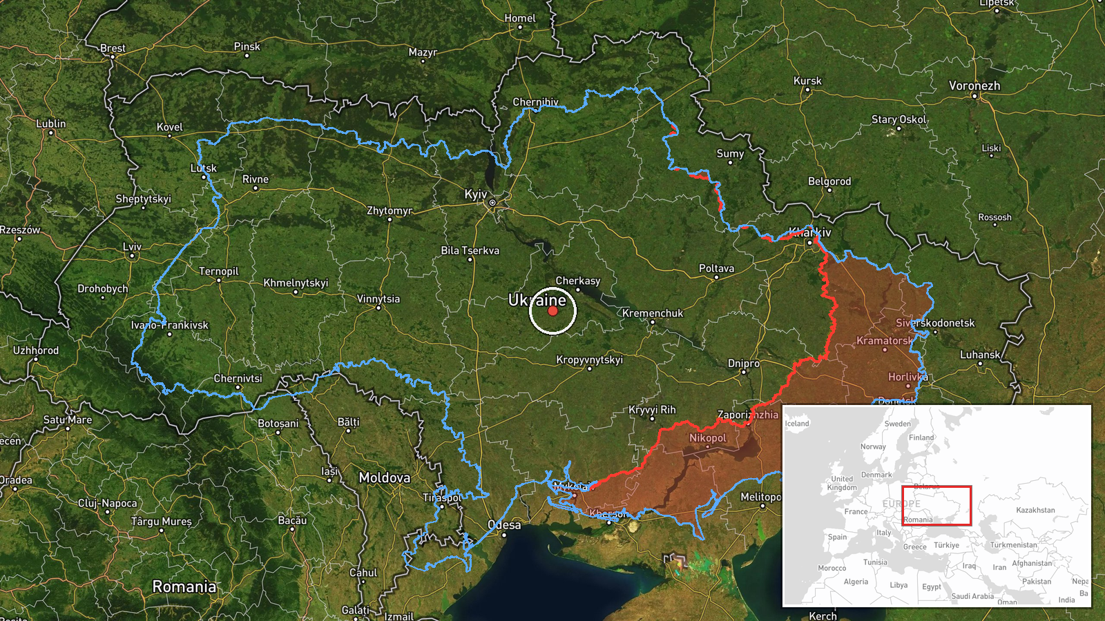
A Turkish-language post on X from the account @ConflictTR reports that a Russian army drone was used to plant a Russian flag on a building roof in Ukraine, and that a Ukrainian army drone then destroyed the flag. The post does not name the settlement, the building, the date the flag was placed, or any unit involved, and it gives no casualty or damage details beyond the flag's destruction. The event is logged at 09:30 UTC on 23 October 2026. The translated wording says the Russian army 'planted' the flag with an unmanned aerial vehicle and that the Ukrainian army 'destroyed' it with another drone. Intel Mapper has not identified where this occurred, so the event is recorded only at region level within Ukraine.
Context and assessment
The episode is notable less for its physical effect than for its symbolism. Planting a national flag on a rooftop is a long-standing way for forces to claim ground, and using a drone to do it suggests an effort to make a claim visible in territory that is not easily reached on foot, possibly under heavy air surveillance. The same morning's record fits that picture. Imagery in the related events shows Ukrainian Mi-8 helicopters carrying up to 12 F7 Litavr interceptor drones, a weapon designed to counter Russian Shahed-type drones. Earlier, Russia reportedly launched 176 attack drones overnight, including 92 jet-powered Shahed, Gerbera and decoy types, and 140 were downed by 08:00. Several Shahed-type transits were also recorded over Kirovohrad Oblast and near Vasylkiv. Taken together, the sky over central Ukraine appears to have been dense with drones that morning. Operationally, a flag-planting mission would be a low-cost signalling action, and its interception would reflect Ukraine's ability to contest low-altitude airspace. These links are inferences from timing and context, not confirmed facts about the mission.
Sources and confidence
The event rests on one channel, X account @ConflictTR, and the record lists no second source. No Ukrainian or Russian official statement, independent outlet, or geolocated imagery is attached in the data. The confidence score of 6.3 reflects this single-source basis, the Turkish-language wording that requires translation, and the absence of any place or date for the flag placement. Confidence would rise with geolocated photos or video of the roof and flag, a statement from either defence ministry, or matching reports from established wire services. It would fall if the footage were found to be older, recycled, or staged.
Location
Location is region level, not settlement level. The coordinates (49.2 N, 31.6 E) are an approximate central point for the reported area of Ukraine, and the location confidence is recorded as low, so the marker should not be read as a specific building or town. The area is broadly central Ukraine, dominated by rolling farmland and river valleys. The main Dnipro channel and its reservoirs lie to the east of much of this region, while the Kirovohrad and Cherkasy oblast areas lie nearby.
Related events nearby
- Imagery shows Ukrainian Mi-8 helicopters carrying up to 12 F7 Litavr interceptor drones on external racks, des2026-10-23 09:13 UTC · Combat Helicopter · Ukraine (location not reported)
- Ukrainian air monitoring issued an all-clear, ending a ballistic missile threat alert.2026-10-22 10:41 UTC · Siren · Ukraine (nationwide)
- Russia launched 176 attack drones overnight (92 jet-powered Shahed, Gerbera and decoys) from Bryansk, Oryol, K2026-10-23 05:06 UTC · UAS Strike · Ukraine
- Ukrainian air monitoring: 1 Russian Shahed-type drone heading toward Vasylkiv.2026-10-23 00:19 UTC · Drone Transit · Vasylkiv, Ukraine
- Ukrainian air monitoring: 2+ Russian jet-powered Shahed (Geran-3) drones passing southern Kirovohrad Oblast, h2026-10-22 16:58 UTC · Drone Transit · southern Kirovohrad Oblast, Ukraine
▶ View this event on the live map

Intel Mapper aggregates open-source reports from monitored Telegram and X channels, geolocates them, cross-checks duplicates across sources and assigns a confidence score. Entries are updated as new confirmations arrive. Read how we verify events.