Ukraine's General Staff reports 208 clashes, 3,857 kamikaze drones and 1,926 shellings in daily tally
What happened
The report is a daily tally published by Ukraine's General Staff on its Telegram channel, @GeneralStaffZSU, covering activity from the start of the day up to 22:00 on 16 October 2026. The record is timestamped 19:00 UTC. The statement lists 208 combat clashes, 47 airstrikes, 152 guided aerial bombs, 3,857 kamikaze drones, 1,926 shellings of settlements and troop positions, and 139 unmanned aerial vehicles destroyed or suppressed. The original Ukrainian wording attributes these actions to the enemy. The tally covers the front as a whole rather than one locality, so it names no specific target, impact site or casualty figure.
Context and assessment
This entry is an aggregate summary rather than a discrete strike, so its map position is a regional marker and not evidence of a particular incident. Its value lies in how it fits the day's other reports. Early on 16 October, a single launch reportedly sent 149 Shahed-type, Gerbera and decoy drones from Oryol, occupied Donetsk and Crimea. The same report gives 114 drones downed or suppressed and 27 hits at 24 locations. Later that day, separate air monitoring reports logged individual Shahed-type drones moving through Cherkasy and nearby areas. These included a jet-powered Geran-3 heading toward Cherkasy at 01:49, a drone passing Zvenyhorodka heading west at 12:27, another passing southwestern Cherkasy Oblast heading west at 15:38, and one heading toward Smila at 18:15. Taken together, these transit reports suggest drones were routed across central Ukraine, possibly toward western targets, though the data does not confirm their destinations. The rise in the General Staff's counts of drones and guided bombs fits a sustained pattern of mass drone use alongside air-delivered munitions. Operationally, high drone volumes can stretch air defence and force dispersed interception across regions far from the front.
Sources and confidence
The entry rests on one channel, the official Telegram account of Ukraine's General Staff, and no second source is listed. The score of 8.0 reflects that this is a primary government source that publishes its own tallies, and that its wording is specific and internally consistent. It is held below the top range because the figures are unverified aggregates, the channel is a party to the conflict, and no independent outlet has checked the totals. Confidence would rise with corroboration from Ukrainian Air Force statements, independent OSINT tracking of the drone transits, or matching reports from wire services. It would fall if counts were revised, or if other tallies showed major discrepancies.
Location
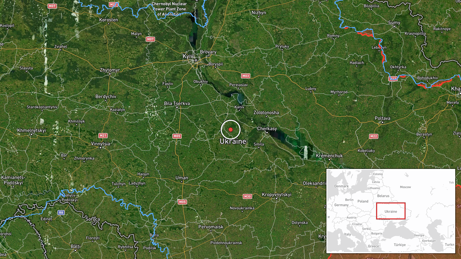
The location is recorded at region level with high location confidence. The coordinates, approximately 49.49 N and 31.27 E, mark a point in the western part of Cherkasy Oblast, not a settlement or facility. The surrounding terrain is largely agricultural plain with river valleys and scattered towns. The Dnipro River lies well to the east, and the area sits within central Ukraine, away from the active front lines.
Related events nearby
- Russia launched 149 Shahed-type, Gerbera and decoy drones from Oryol, occupied Donetsk and Crimea. 114 downed 2026-10-16 06:42 UTC · UAS Strike · Ukraine
- Ukrainian air monitoring: 1 Russian Shahed-type drone passing southwestern Cherkasy Oblast, heading west.2026-10-16 15:38 UTC · Drone Transit · southwestern Cherkasy Oblast, Ukraine
- Ukrainian air monitoring: 1 Russian Shahed-type drone passing Zvenyhorodka, heading west.2026-10-16 12:27 UTC · Drone Transit · Zvenyhorodka, Ukraine
- Ukrainian air monitoring: 1 Russian Shahed-type drone heading toward Smila.2026-10-16 18:15 UTC · Drone Transit · Smila, Ukraine
- Ukrainian air monitoring: 1 Russian jet-powered Shahed (Geran-3) drone heading toward Cherkasy.2026-10-16 01:49 UTC · Drone Transit · Cherkasy, Ukraine
▶ View this event on the live map

Intel Mapper aggregates open-source reports from monitored Telegram and X channels, geolocates them, cross-checks duplicates across sources and assigns a confidence score. Entries are updated as new confirmations arrive. Read how we verify events.