Single Russian Geran-3 jet drone reported heading toward Chortkiv, Ternopil Oblast
What happened
Ukrainian air monitoring reported one Russian jet-powered Shahed, identified as a Geran-3, heading toward Chortkiv in Ternopil Oblast from the south. The report was posted at 01:08 UTC on 16 October 2026 on the Telegram channel @kpszsu, an official-style alert channel. The original Ukrainian wording describes a jet-type UAV moving toward Chortkiv from the south into Ternopil region. The post does not describe impact, damage, casualties, interception, altitude, or an exact flight track. The event is classified as a drone transit rather than a confirmed strike, and attribution to Russia rests on the drone type named in the alert.
Context and assessment
Chortkiv is a mid-sized town in western Ukraine, and the alert places a single drone on a path toward it rather than reporting an attack on a specific facility. The related events show a pattern of similar single-drone transits across several western oblasts over roughly 24 hours. On 15 October at 01:53, a drone was reported passing Ivano-Frankivsk Oblast heading west, and a drone was reported passing Ternopil Oblast heading west at the same timestamp. On 15 October at 16:37, a drone was reported moving from Khmelnytskyi Oblast toward Dunayivtsi. Early on 16 October, drones were reported heading toward Dunayivtsi and toward Ivano-Frankivsk. Taken together, this suggests repeated use of inbound corridors through the west, with the drones reported at different named points along similar routes. Operationally, this may indicate route probing, testing of air-defense reaction times, or an effort to stretch monitoring capacity across several regions at once. The data alone cannot confirm which of these, if any, applies.
Sources and confidence
Only one channel, Telegram @kpszsu, reported this event, so the source count is one. The related events come from similar monitoring alerts and are consistent with the Chortkiv report, but they are not independent confirmation of this specific track. The confidence score of 8.0 reflects a clear official-style alert, a named drone type, a precise timestamp, and a consistent regional pattern. It is held below the top range because there is no second outlet, no impact report, and no imagery. Confidence would rise with independent confirmation from regional military administrations, national air force statements, or local reporting. It would fall if the track was corrected, the drone was reclassified, or later updates contradicted the direction of travel.
Location
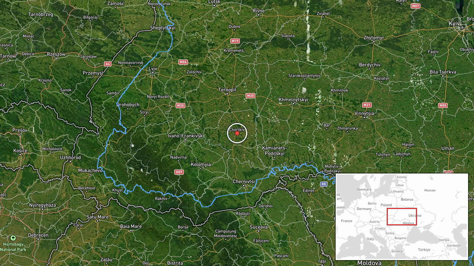
The location is geocoded at settlement level, with high location confidence, and the point marks the approximate center of Chortkiv rather than any specific facility. Chortkiv sits in Ternopil Oblast in the Podolia upland of western Ukraine, on the Seret River. The surrounding terrain is rolling farmland and river valleys. Nearby monitored points in the same alert cluster include Dunayivtsi in Khmelnytskyi Oblast and Ivano-Frankivsk to the southwest.
Related events nearby
- Ukrainian air monitoring: 2+ Russian jet-powered Shahed (Geran-3) drones heading toward Ternopil Oblast.2026-10-16 02:18 UTC · Drone Transit · Ternopil Oblast, Ukraine
- Ukrainian air monitoring: 1 Russian jet-powered Shahed (Geran-3) drone from Khmelnytskyi Oblast toward Dunayiv2026-10-16 01:05 UTC · Drone Transit · Dunayivtsi, Ukraine
- Ukrainian air monitoring: 1 Russian jet-powered Shahed (Geran-3) drone from Khmelnytskyi Oblast toward Dunayiv2026-10-15 16:37 UTC · Drone Transit · Dunayivtsi, Ukraine
- Ukrainian air monitoring: 1 Russian jet-powered Shahed (Geran-3) drone heading toward Ivano-Frankivsk.2026-10-16 01:04 UTC · Drone Transit · Ivano-Frankivsk, Ukraine
- Ukrainian air monitoring: 1 Russian jet-powered Shahed (Geran-3) drone over Khmelnytskyi.2026-10-16 01:35 UTC · Drone Transit · Khmelnytskyi, Ukraine
▶ View this event on the live map

Intel Mapper aggregates open-source reports from monitored Telegram and X channels, geolocates them, cross-checks duplicates across sources and assigns a confidence score. Entries are updated as new confirmations arrive. Read how we verify events.