Jet-powered Shahed (Geran-3) drone reported over Kyiv Oblast, Ukrainian air monitoring says
What happened
Ukraine's Air Force Telegram channel (@kpszsu) posted a brief air-monitoring update on 16 October 2026 at 03:43 UTC. The post, written in Ukrainian, says a jet-powered unmanned aerial vehicle was moving from the Kyiv region into the northeastern part of Vinnytsia Oblast. The wording describes a drone transit rather than an impact, and the report does not mention any strike, casualties, or damage. The summary attributes the drone to Russia and identifies it as a jet-powered Shahed-type system, Geran-3. The event rests on a single-source report, and its location is recorded only at regional level within Kyiv Oblast, so the exact track and point of entry are not specified.
Context and assessment
This report sits within a run of similar air-monitoring entries logged across the early hours of 16 October. Earlier updates describe one jet-powered Shahed (Geran-3) tracked over western Chernihiv Oblast heading toward Kyiv Oblast at 01:08, a drone passing Boryspil toward Kyiv at 01:58, two or more drones over Kyiv at 02:16, and a drone over western Cherkasy Oblast heading toward Kyiv Oblast at 03:27, with a second drone reported from the north. At 03:41 several jet-powered drones were tracked over northern and southern Kyiv Oblast, heading west. The pattern shows drones entering from the north and east, converging on the capital region, and then moving through or around it. The Vinnytsia-bound track fits that sequence of transit flights. Operationally, this may indicate routes designed to cross several oblasts in one wave, possibly to stretch air defense coverage, draw interceptors, or probe approaches to western and central Ukraine. The sequence alone does not establish intent, and it is not clear whether this track was a separate aim or a continuation of the wider movement.
Sources and confidence
Only one channel, the Air Force-linked @kpszsu Telegram account, appears in the data, and no independent outlet, official statement, or second channel confirms this specific track. The confidence score of 8.0 reflects an official-linked source with a clear, time-stamped post, offset by the single-source status and the absence of corroboration. Confidence would rise with confirmation from other Ukrainian military or regional authorities, independent radar or tracking data, or a consistent sequence of reports from additional channels. It would fall if the original post were edited, deleted, or contradicted by later official updates.
Location
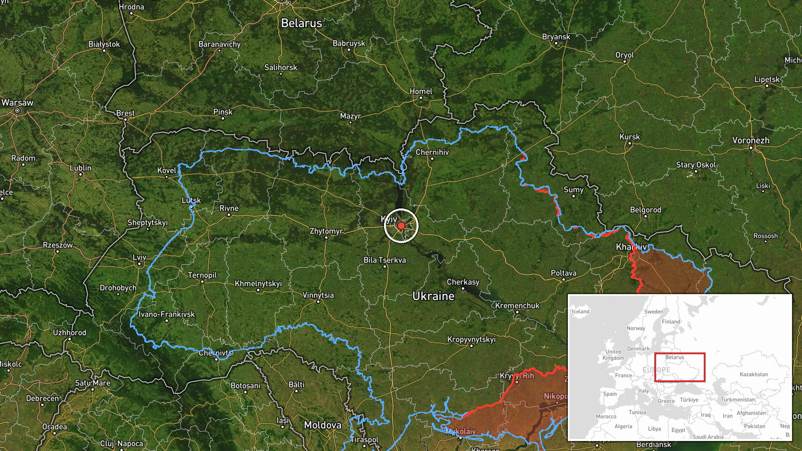
The location is recorded at region precision, and the coordinates (50.45, 30.52) correspond to central Kyiv rather than a specific settlement in Kyiv Oblast, so they serve as an anchor for the region rather than a track point. No origin location was recorded. Kyiv Oblast surrounds the capital on relatively flat terrain within the Dnipro basin, with forests, farmland, and the Dnipro River to the east. Boryspil, a major airport, lies to the southeast of the city and is referenced in related updates.
Related events nearby
- Ukrainian air monitoring: 1 Russian jet-powered Shahed (Geran-3) drone heading toward Kyiv Oblast.2026-10-16 04:01 UTC · Drone Transit · Kyiv Oblast, Ukraine
- Ukrainian air monitoring: jet-powered Shahed (Geran-3) drones tracked over northern and southern Kyiv Oblast, 2026-10-16 03:41 UTC · Drone Transit · Kyiv Oblast, Ukraine
- Ukrainian air monitoring: one Russian jet-powered Shahed (Geran-3) drone over western Cherkasy Oblast, heading2026-10-16 03:27 UTC · Drone Transit · Kyiv Oblast, Ukraine
- Ukrainian air monitoring: 2+ Russian jet-powered Shahed (Geran-3) drones over Kyiv.2026-10-16 02:16 UTC · Drone Transit · Kyiv, Ukraine
- Ukrainian air monitoring: 1 Russian jet-powered Shahed (Geran-3) drone passing Boryspil, heading toward Kyiv.2026-10-16 01:58 UTC · Drone Transit · Kyiv, Ukraine
▶ View this event on the live map

Intel Mapper aggregates open-source reports from monitored Telegram and X channels, geolocates them, cross-checks duplicates across sources and assigns a confidence score. Entries are updated as new confirmations arrive. Read how we verify events.