Russian jet-powered Shahed drone reported over Kyiv Oblast, with stated heading toward Vinnytsia
What happened
A Ukrainian air monitoring channel, Telegram account @kpszsu, reported at 04:01 UTC on 16 October 2026 that one Russian jet-powered Shahed, designated Geran-3, was over Kyiv Oblast. The original Ukrainian post describes two separate jet-powered UAV tracks: one in western Mykolaiv Oblast heading north, and another over western Cherkasy and Kyiv oblasts heading toward Vinnytsia Oblast. The English summary attached to the event instead says the drone was heading toward Kyiv Oblast, so the stated direction differs between the two versions. The source describes no impact, casualties, or damage. This is a transit notice, not a confirmed strike. Earlier timed posts in the same overnight window place Geran-3 drones over Kyiv city and near Boryspil.
Context and assessment
Kyiv Oblast surrounds the capital in north-central Ukraine, so drones tracked through it are often on routes toward the city, toward central or western regions, or toward infrastructure in between. The related events show a sequence over roughly two hours: a single drone passing Boryspil toward Kyiv at 01:58 UTC, two or more over the city at 02:16, one over western Cherkasy heading toward Kyiv Oblast at 03:27, several tracks over northern and southern Kyiv Oblast heading west at 03:41, and a single drone over Kyiv Oblast at 03:43. This pattern of multiple tracks entering from the south and east, then moving west or north, is consistent with drones being steered along corridors or dispersed to probe air defence coverage. Jet-powered Shaheds are generally faster and harder to intercept than the older piston-engined variant, which may matter for how monitoring channels describe them. The movements may indicate operational routing rather than a single target, but open reporting does not confirm intent. Transit posts like this help track air activity; they do not establish where any drone was headed or what it may have hit.
Sources and confidence
Only one channel, Telegram @kpszsu, is listed, so there is no independent cross-confirmation at this time. The confidence score of 8.0 reflects a regular Ukrainian air monitoring account that has posted timed track notices, but it remains a single source. The conflict between the original text (toward Vinnytsia) and the English summary (toward Kyiv Oblast) lowers certainty about the route. Confidence would rise with corroboration from a second monitoring channel, regional military administration statements, or radar-based reporting. It would fall if later updates revise the drone count or direction, or if no further tracks are confirmed.
Location
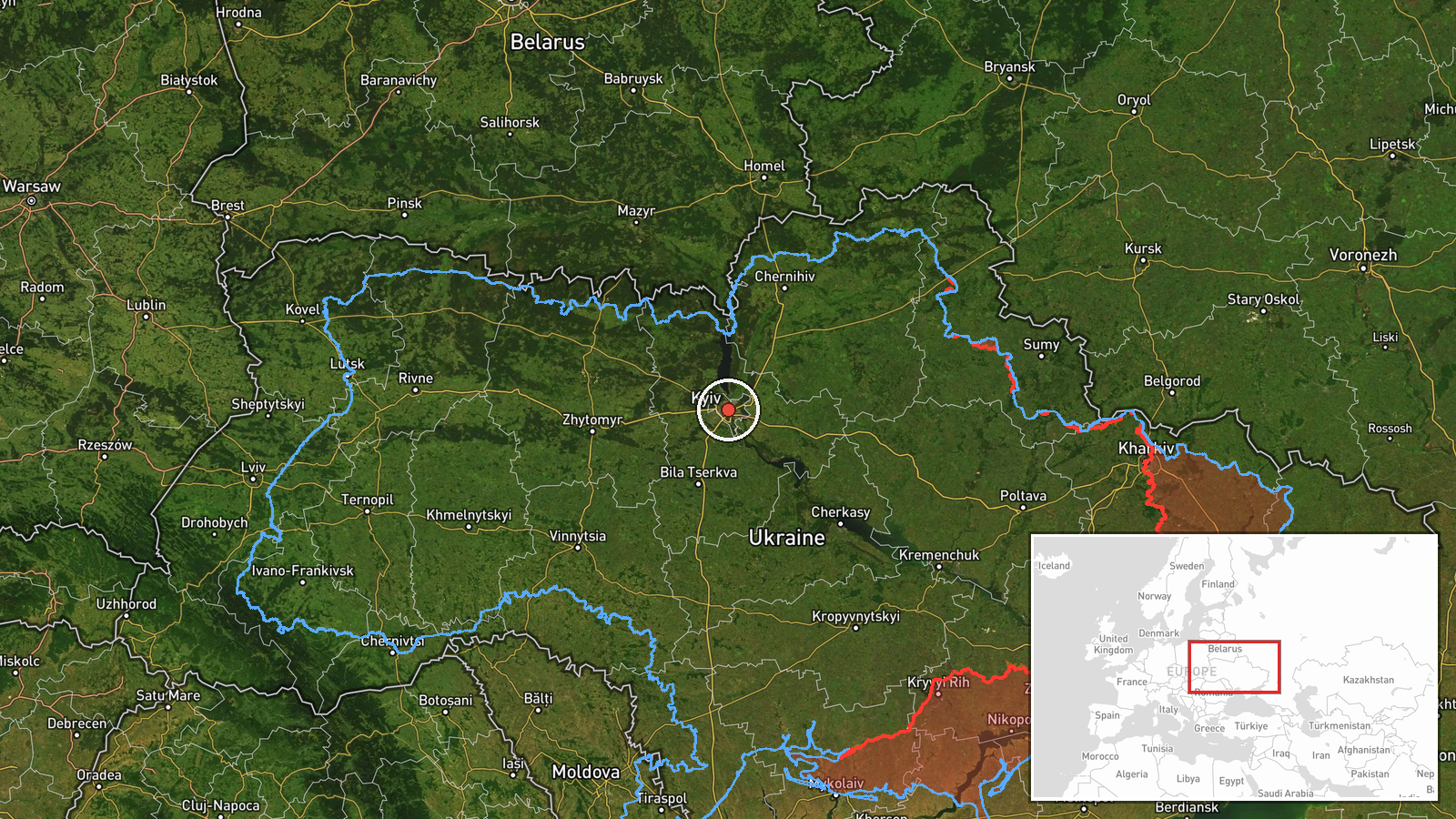
The location is recorded only at region level, Kyiv Oblast, so precision is listed as region and location confidence as low. The coordinates, 50.45 north and 30.52 east, sit close to Kyiv city and should be read as a representative point, not a verified drone position. Kyiv Oblast is largely flat to gently rolling terrain drained by the Dnipro and its tributaries. The source also mentions western Cherkasy and western Mykolaiv oblasts, which lie to the south of the pin.
Related events nearby
- Ukrainian air monitoring: 1 Russian jet-powered Shahed (Geran-3) drone over Kyiv Oblast.2026-10-16 03:43 UTC · Drone Transit · Kyiv Oblast, Ukraine
- Ukrainian air monitoring: jet-powered Shahed (Geran-3) drones tracked over northern and southern Kyiv Oblast, 2026-10-16 03:41 UTC · Drone Transit · Kyiv Oblast, Ukraine
- Ukrainian air monitoring: one Russian jet-powered Shahed (Geran-3) drone over western Cherkasy Oblast, heading2026-10-16 03:27 UTC · Drone Transit · Kyiv Oblast, Ukraine
- Ukrainian air monitoring: 2+ Russian jet-powered Shahed (Geran-3) drones over Kyiv.2026-10-16 02:16 UTC · Drone Transit · Kyiv, Ukraine
- Ukrainian air monitoring: 1 Russian jet-powered Shahed (Geran-3) drone passing Boryspil, heading toward Kyiv.2026-10-16 01:58 UTC · Drone Transit · Kyiv, Ukraine
▶ View this event on the live map

Intel Mapper aggregates open-source reports from monitored Telegram and X channels, geolocates them, cross-checks duplicates across sources and assigns a confidence score. Entries are updated as new confirmations arrive. Read how we verify events.