2+ jet-powered Shahed-type drones reported transiting Mykolaiv Oblast on a northward course
What happened
On 16 October 2026 at 09:03 UTC, the Telegram channel @kpszsu, which carries Ukrainian air monitoring alerts, reported groups of jet-powered unmanned aerial vehicles passing through the Berezniuvate area of Mykolaiv Oblast on a northern heading. The original Ukrainian wording describes "групи реактивних БпЛА" moving "курсом на північ," and the English summary specifies at least two Russian jet-powered Shahed (Geran-3) drones. The report does not describe impacts, casualties, or interceptions, and it does not identify launch points or intended targets. Because the alert is a monitoring notice about aerial movement rather than a strike report, the entry records transit only.
Context and assessment
Mykolaiv Oblast sits on the northern Black Sea coast between Odesa and Kherson, and it lies on a practical flight corridor from the sea toward central Ukraine. The surrounding reports show a sustained pattern rather than an isolated sighting. On 15 October, a single Geran-3 was reported moving from the Black Sea toward Mykolaiv Oblast, and another was reported from Odesa Oblast toward Pivdenne, a coastal settlement near Odesa. Early on 16 October, one Shahed-type drone was reported from south of Kropyvnytskyi toward Mykolaiv Oblast, and a group of two or more was reported from the Black Sea toward southern Mykolaiv Oblast. A later report placed a Geran-3 passing western Mykolaiv Oblast heading north. Taken together, these alerts suggest successive waves entering from the south and sea side and moving northward over roughly 24 hours. Operationally, this could reflect routing toward targets further north, saturation tactics, or simply the reporting cadence of air monitoring. The data alone cannot establish which, and no target or outcome is recorded for any of these events.
Sources and confidence
The entry rests on a single channel, Telegram @kpszsu, with a source count of 1 and no independent corroboration in the dataset. The channel's role in relaying Ukrainian air monitoring gives the report a credible baseline, and the confidence score of 8.0 reflects that institutional origin along with the specificity of the wording. The score is held below the maximum because no second outlet or flight-tracking source confirms the same movement, and the drone count is given as "2+" rather than an exact figure. Confidence would rise with corroboration from other Ukrainian official channels, regional military administrations, or independent tracking data. It would fall if later updates retracted or revised the track.
Location
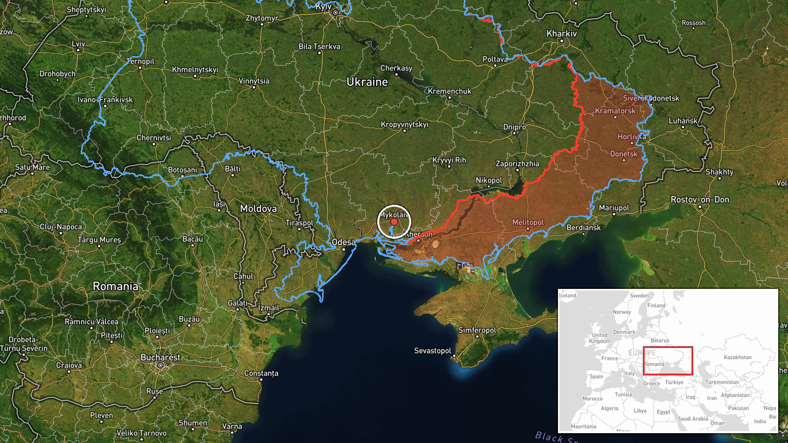
The location is recorded at region level, Mykolaiv Oblast, with approximate coordinates of 46.97 N, 32.0 E, and the location confidence is marked low. The settlement named in the original text, Berezniuvate, is not geolocated to a precise point here, so the map pin should be read as a general area rather than an exact position. Mykolaiv Oblast is a largely flat steppe region in southern Ukraine, bordered by the Black Sea to the south, Odesa Oblast to the west, and Kherson Oblast to the east. Its river estuaries and wetlands are notable features of the terrain.
Related events nearby
- Ukrainian air monitoring: 1 Russian Shahed-type drone from south of Kropyvnytskyi toward Mykolaiv Oblast.2026-10-16 01:04 UTC · Drone Transit · Mykolaiv Oblast, Ukraine
- Ukrainian air monitoring: 1 Russian jet-powered Shahed (Geran-3) drone from Black Sea toward Mykolaiv Oblast.2026-10-15 10:21 UTC · Drone Transit · Mykolaiv Oblast, Ukraine
- Ukrainian air monitoring: 1 Russian jet-powered Shahed (Geran-3) drone from Black Sea toward Ochakiv.2026-10-16 09:50 UTC · Drone Transit · Ochakiv, Ukraine
- Ukrainian air monitoring: 1 Russian jet-powered Shahed (Geran-3) drone passing western Mykolaiv Oblast, headin2026-10-16 04:01 UTC · Drone Transit · western Mykolaiv Oblast, Ukraine
- Ukrainian air monitoring: 2+ Russian jet-powered Shahed (Geran-3) drones from Black Sea toward southern Mykola2026-10-16 01:07 UTC · Drone Transit · southern Mykolaiv Oblast, Ukraine
▶ View this event on the live map

Intel Mapper aggregates open-source reports from monitored Telegram and X channels, geolocates them, cross-checks duplicates across sources and assigns a confidence score. Entries are updated as new confirmations arrive. Read how we verify events.