Single Shahed-type drone reported heading toward Vasylkiv from the south, Kyiv Oblast
What happened
Ukrainian air monitoring reported on Telegram via the channel @kpszsu that one Russian Shahed-type strike drone was moving toward Vasylkiv, a town in Kyiv Oblast, approaching from the south. The post, logged at 14:30 UTC on 16 October 2026, describes the object as an attack UAV (ударний БпЛА) and does not report impact, damage, or casualties. The original wording is short and operational, identifying only the direction of travel and the target settlement. The event is recorded as a drone transit rather than a confirmed strike. No independent outlet in the dataset repeats the report, so the account rests on a single official-facing air monitoring channel.
Context and assessment
Vasylkiv sits southwest of Kyiv and has repeatedly appeared in the air-alert chain over the past day. The prior day's entries show a single jet-powered Geran-3 drone moving from northern Kyiv Oblast toward Vasylkiv at 17:31 UTC on 15 October, with a further single drone reported toward Obukhiv at 17:42 the same afternoon. Earlier that evening a drone was logged heading toward Boyarka, and overnight into 16 October, two or more drones were tracked passing south of Kyiv heading west, with another single drone reported toward Vyshneve. Taken together, the pattern looks like a sequence of individual drones moving through the Kyiv approaches and fanning out to nearby settlements rather than a single coordinated salvo. Operationally, this is consistent with routes designed to saturate air defense coverage and stretch warning and interception resources across several districts at once. The jet-powered variant noted in the earlier entries is faster and harder to intercept than piston-engined Shaheds, which may help explain why monitoring teams continue to flag these tracks individually. Whether the drone reaching Vasylkiv was a decoy or a live warhead cannot be determined from the report.
Sources and confidence
The report comes from one Telegram channel, @kpszsu, which relays Ukrainian air force monitoring messages. No second channel in the dataset carries the same track, so cross-confirmation is absent and the confidence score of 8.0 reflects a credible official-style source offset by its single-source status. Confidence would rise if regional authorities, wire agencies, or the air force's own feed confirmed the track, or if debris or impact reports were published. It would fall if the track were revised, withdrawn, or shown to refer to a different settlement.
Location
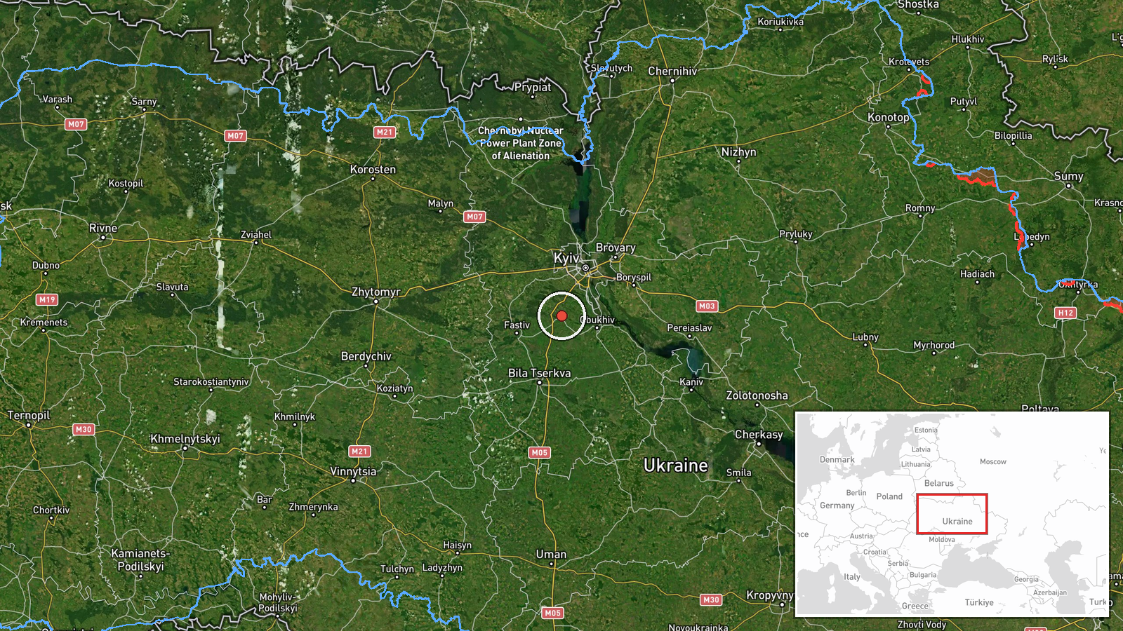
The coordinates correspond to Vasylkiv itself, a settlement-level match with high location confidence, so the point marks the town centre rather than a specific facility. Vasylkiv lies in Kyiv Oblast about 30 kilometres southwest of the capital, on relatively flat terrain drained by the Stugna River system. The surrounding area is largely agricultural and suburban, with the Kyiv ring road and rail links running to the north and east. The town's position on approach routes toward the capital is why it appears repeatedly in air alerts.
Related events nearby
- Ukrainian air monitoring: 1 Russian jet-powered Shahed (Geran-3) drone heading toward Vasylkiv.2026-10-16 15:44 UTC · Drone Transit · Vasylkiv, Ukraine
- Ukrainian air monitoring: 1 Russian jet-powered Shahed (Geran-3) drone from northern Kyiv Oblast toward Vasylk2026-10-15 17:31 UTC · Drone Transit · Vasylkiv, Ukraine
- Ukrainian air monitoring: 2+ Russian jet-powered Shahed (Geran-3) drones passing south of Kyiv, heading west.2026-10-16 02:16 UTC · Drone Transit · south of Kyiv, Ukraine
- Ukrainian air monitoring: 1 Russian jet-powered Shahed (Geran-3) drone heading toward Vyshneve.2026-10-16 02:20 UTC · Drone Transit · Vyshneve, Ukraine
- Ukrainian air monitoring: 1 Russian jet-powered Shahed (Geran-3) drone heading toward Obukhiv.2026-10-15 17:42 UTC · Drone Transit · Obukhiv, Ukraine
▶ View this event on the live map

Intel Mapper aggregates open-source reports from monitored Telegram and X channels, geolocates them, cross-checks duplicates across sources and assigns a confidence score. Entries are updated as new confirmations arrive. Read how we verify events.