Single Russian Shahed-type drone reported heading west past Tyshkivka, Kirovohrad Oblast
What happened
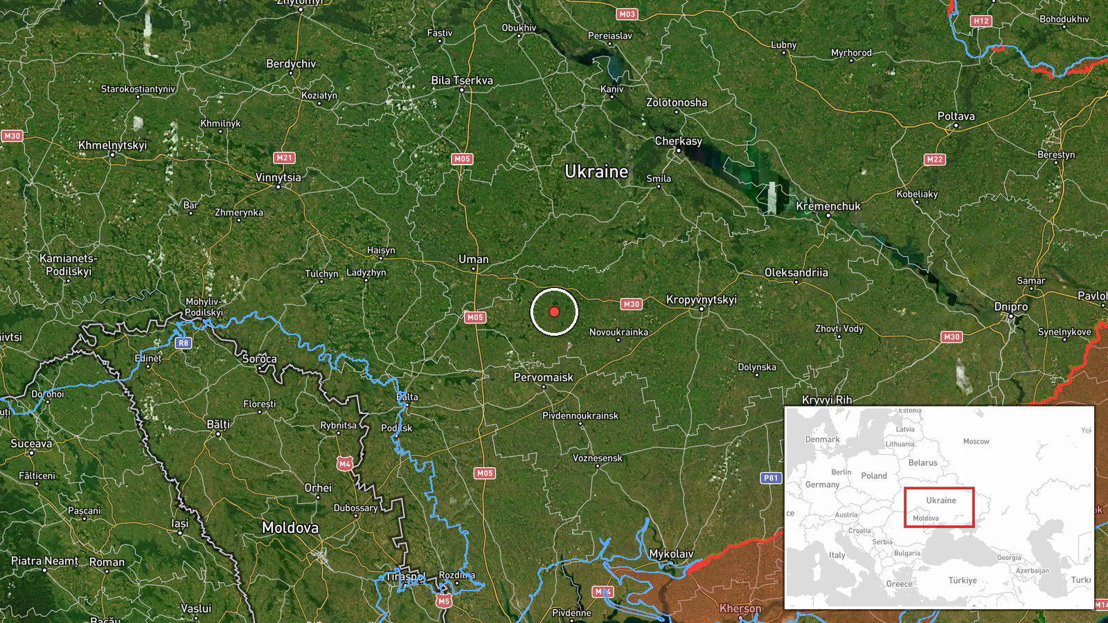
Ukraine's air monitoring channel @kpszsu reported at 15:36 UTC on 16 October 2026 that a Russian Shahed-type drone was passing Tyshkivka in Kirovohrad Oblast on a westward heading. The event summary describes one drone, but the original Ukrainian post is worded more broadly, referring to strike UAVs moving on a western course in the area of several settlements: Khmelove, Tyshkivka, Vilshanka and Peregonivka. The post does not report any impact, damage or casualties, and it names no specific target. The entry is a flight-path observation rather than a confirmed strike, and its wording places the drones near these communities rather than over any particular facility.
Context and assessment
The track fits a sequence of drone reports from the same morning and afternoon. Earlier on 16 October, a jet-powered Shahed (Geran-3) was reported moving from Kirovohrad Oblast toward Uman at 09:00 UTC, and a Shahed-type drone was logged passing Zvenyhorodka and heading west at 12:27 UTC. Another was reported heading west across southwestern Cherkasy Oblast at 15:38 UTC, only minutes after the Tyshkivka report. On 15 October, a jet-powered Geran-3 was reported moving from Mykolaiv Oblast toward Kryve Ozero. Taken together, these reports suggest a series of drones crossing central Ukraine on broadly westward courses over several hours. Such tracks may indicate transit routes toward western Ukraine, or drones being redirected or relocated, but single monitoring reports cannot establish intent or the eventual target. The unrelated security incident logged at 13:58 UTC has no evident connection to these flights.
Sources and confidence
The report rests on one Telegram channel, @kpszsu, which publishes Ukrainian air-monitoring updates and is the only source listed. Cross-confirmation is absent: no independent outlet, official statement or second channel is attached to this entry. The confidence score of 8.0 reflects the channel's role as a military monitoring source and the consistency of its track reports with others in the same time window. It does not reflect independent verification of the specific drone count or route. Confidence would rise with corroboration from an official air force statement, independent tracking data, or local reports of sightings. It would fall if the channel corrected the count or the route, or if other monitoring sources failed to register the drones.
Location
The location is a settlement-level point for Tyshkivka, with high location confidence, and the coordinates mark the approximate centre of the community. The other settlements named in the original post, Khmelove, Vilshanka and Peregonivka, are not geocoded separately, so the entry does not pin the drones to any one of them. Tyshkivka lies in Kirovohrad Oblast in central Ukraine, an area of agricultural land with farms, small rivers and reservoirs in the wider region. Its position is between the Uman and Cherkasy areas that appear in the related reports.
Related events nearby
- Ukrainian air monitoring: 1 Russian jet-powered Shahed (Geran-3) drone from Kirovohrad Oblast toward Uman.2026-10-16 09:00 UTC · Drone Transit · Uman, Ukraine
- Ukrainian air monitoring: 1 Russian Shahed-type drone passing Zvenyhorodka, heading west.2026-10-16 12:27 UTC · Drone Transit · Zvenyhorodka, Ukraine
- Ukrainian air monitoring: 1 Russian Shahed-type drone passing southwestern Cherkasy Oblast, heading west.2026-10-16 15:38 UTC · Drone Transit · southwestern Cherkasy Oblast, Ukraine
- Ukrainian air monitoring: 1 Russian jet-powered Shahed (Geran-3) drone from Mykolaiv Oblast toward Kryve Ozero2026-10-15 17:37 UTC · Drone Transit · Kryve Ozero, Ukraine
- Russia launched 315 attack drones (78 jet-powered), plus Gerbera decoys and 15 S-8000 Banderol munitions, agai2026-10-16 16:45 UTC · UAS Strike · Ukraine (nationwide, no specific target named)
▶ View this event on the live map

Intel Mapper aggregates open-source reports from monitored Telegram and X channels, geolocates them, cross-checks duplicates across sources and assigns a confidence score. Entries are updated as new confirmations arrive. Read how we verify events.