Ukrainian air monitoring reports one Russian Shahed-type drone heading toward Vinnytsia
What happened
Ukrainian air monitoring reported on 16 October 2026 at 20:12 UTC that one Russian Shahed-type drone was heading toward Vinnytsia, a city in west-central Ukraine. The original Ukrainian-language post, published on the Telegram channel @kpszsu, says a UAV was moving toward Vinnytsia and Voronovytsia from the east. The wording describes only a heading and makes no mention of impact, damage or casualties. The report therefore records a transit through the area rather than a confirmed strike. The Russia attribution reflects the source's identification of the drone type, not an independent confirmation of launch or intent. The marker sits on Vinnytsia at settlement precision. Because the message does not say whether the drone was downed, diverted or continued beyond the region, its outcome remains unknown.
Context and assessment
Vinnytsia sits on the Southern Bug river and hosts rail links, industry and an airfield, so it is regularly included in air alerts when drones cross central Ukraine. The timing fits a longer sequence of reports from the same afternoon. At 14:31 UTC a jet-powered Shahed, identified as a Geran-3, was reported over Vinnytsia. At 14:32 two or more such drones were reported passing the oblast heading west. At 14:40 another drone was noted passing toward the west while a separate drone headed toward Zhytomyr Oblast. At 18:36 and 19:59 single drones were again reported heading toward Vinnytsia, the latter passing Tulchyn. Taken together, the pattern suggests a steady stream of individual drones using corridors across the oblast over several hours rather than one concentrated attack on the city. Operationally, this may indicate long-range flights transiting toward targets farther west or north, with Vinnytsia lying along the route. That reading is tentative, since the reports describe headings rather than targets, and the same drone can appear at several points along its path.
Sources and confidence
Only one source is attached: the Telegram channel @kpszsu, which is widely cited as the official Ukrainian Air Force channel for air alerts. No second channel, wire service or official statement reports this specific heading, so the event rests on a single post. The confidence score of 8.0 reflects a credible, high-tempo official source with a specific message, offset by the lack of cross-confirmation and the brief, heading-only wording. Confidence would rise if independent monitoring, regional officials or alert systems confirmed the drone's path, or if an outcome were reported. It would fall if the heading were later corrected or if conflicting alerts emerged.
Location
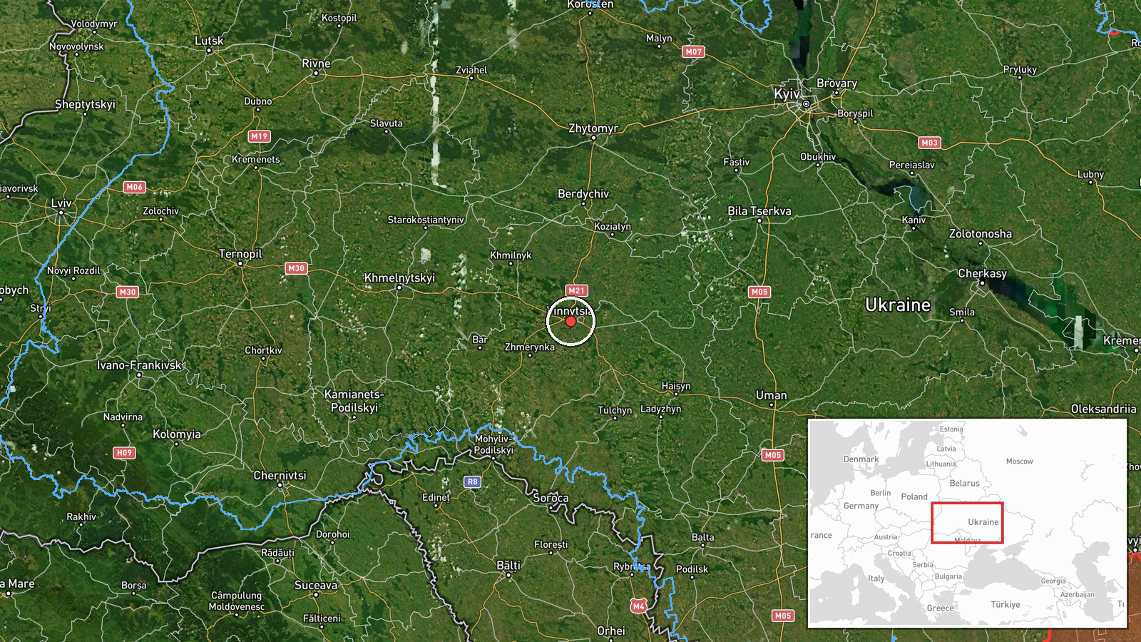
The coordinates correspond to Vinnytsia city at settlement precision, and location confidence is rated high. The original post names Vinnytsia and Voronovytsia, a village in the same district, but the marker is placed on the city, so the point reflects the broader area rather than an exact site. Vinnytsia lies in west-central Ukraine on the Southern Bug river, surrounded by rolling farmland and forest belts.
Related events nearby
- Ukrainian air monitoring: 1 Russian Shahed-type drone passing Tulchyn, heading toward Vinnytsia.2026-10-16 19:59 UTC · Drone Transit · Vinnytsia, Ukraine
- Ukrainian air monitoring: 1 Russian Shahed-type drone heading toward Vinnytsia.2026-10-16 18:36 UTC · Drone Transit · Vinnytsia, Ukraine
- Ukrainian air monitoring: 1 Russian Shahed-type drone passing Vinnytsia Oblast, heading west; 1 Russian Shahed2026-10-16 14:40 UTC · Drone Transit · Vinnytsia Oblast, Ukraine
- Ukrainian air monitoring: 2+ Russian jet-powered Shahed (Geran-3) drones passing Vinnytsia Oblast, heading wes2026-10-16 14:32 UTC · Drone Transit · Vinnytsia Oblast, Ukraine
- Ukrainian air monitoring: 1 Russian jet-powered Shahed (Geran-3) drone over Vinnytsia.2026-10-16 14:31 UTC · Drone Transit · Vinnytsia, Ukraine
▶ View this event on the live map

Intel Mapper aggregates open-source reports from monitored Telegram and X channels, geolocates them, cross-checks duplicates across sources and assigns a confidence score. Entries are updated as new confirmations arrive. Read how we verify events.