Single Shahed-type drone reported passing Zbarazh in Ternopil Oblast, heading west
What happened
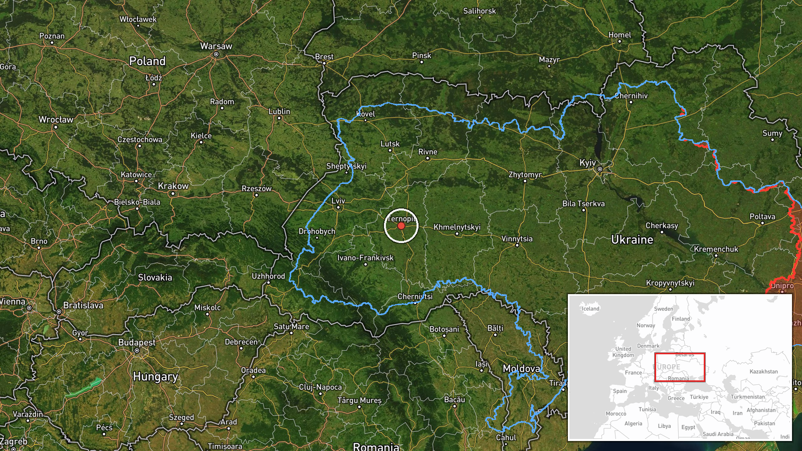
Ukrainian air monitoring reported one Russian Shahed-type drone passing the Zbarazh area of Ternopil Oblast in a westward direction at 06:59 UTC on 17 October 2026. The original Ukrainian-language post, translated, says an unmanned aerial vehicle was passing Zbarazh in the Ternopil region heading west. The report describes transit only and does not mention impact, damage, casualties, or interception. The entry is attributed to a single Telegram channel, @kpszsu, and is logged as a Drone Transit with Russia as the actor. Because the report names a town rather than a precise track point, the mapped marker sits at a regional coordinate instead of on Zbarazh itself.
Context and assessment
Zbarazh is a town in northern Ternopil Oblast, and reports naming it are most useful as track markers rather than as indicators of a strike. The event sits within a sequence of five related Drone Transit entries logged between 11:46 UTC on 16 October and 06:46 UTC on 17 October. Earlier entries place a single Shahed-type drone over Tyvriv and then toward Khmelnytskyi, and later ones describe a drone near Krasyliv coming from Khmelnytskyi Oblast and another passing Chortkiv, further south in Ternopil Oblast, heading west the previous evening. Taken together, the reports describe a repeated westward movement across central-western Ukraine over roughly nineteen hours. The data does not establish whether these entries track one airframe, several drones launched in sequence, or one aircraft reported by several observers. Operationally, sustained westward transit of this kind is consistent with long-range drones being routed across the country, and monitoring alerts of this type are typically used to warn communities and air defence units along the route. The pattern alone does not indicate a specific target, and nothing in the provided data reports detonation or damage.
Sources and confidence
The report comes from one Telegram channel, @kpszsu, which posts Ukrainian air monitoring alerts. No second outlet is listed, so cross-confirmation is absent. The confidence score of 8.0 reflects a recognisable monitoring feed with a consistent format across the related entries, while the lack of independent corroboration and the regional-only geolocation keep it below the top of the scale. Confidence would rise with a second monitoring channel, an official regional statement, or a timestamped update naming a specific track point. It would fall if later reporting changed the direction or identified the object as something other than a Shahed-type drone.
Location
The location was assigned at region level because the report names Zbarazh but the stored coordinates, 49.55 N and 25.59 E, are approximate and sit within Ternopil Oblast rather than on the town. Zbarazh lies in the north of the oblast, northeast of the regional capital Ternopil. The surrounding landscape is gently rolling farmland typical of the region, and the town is known for its historic castle. The marker should be read as indicating the general area of the report, not an exact position.
Related events nearby
- Ukrainian air monitoring: 1 Russian Shahed-type drone from Ternopil Oblast toward Zbarazh.2026-10-17 06:46 UTC · Drone Transit · Zbarazh, Ukraine
- Ukrainian air monitoring: 1 Russian Shahed-type drone passing Chortkiv, heading west.2026-10-16 21:03 UTC · Drone Transit · Chortkiv, Ukraine
- Ukrainian air monitoring: 1 Russian Shahed-type drone from Khmelnytskyi Oblast toward Krasyliv.2026-10-17 06:23 UTC · Drone Transit · Krasyliv, Ukraine
- Ukrainian air monitoring: 1 Russian Shahed-type drone heading toward Khmelnytskyi.2026-10-16 17:53 UTC · Drone Transit · Khmelnytskyi, Ukraine
- Ukrainian air monitoring: 1 Russian Shahed-type drone passing Tyvriv, heading toward Khmelnytskyi Oblast.2026-10-16 11:46 UTC · Drone Transit · Khmelnytskyi Oblast, Ukraine
▶ View this event on the live map

Intel Mapper aggregates open-source reports from monitored Telegram and X channels, geolocates them, cross-checks duplicates across sources and assigns a confidence score. Entries are updated as new confirmations arrive. Read how we verify events.