Jet-powered Shahed drone reported passing Kobeliaky in Poltava Oblast, heading northwest
What happened
Ukrainian air monitoring reported at 08:17 UTC on 17 October 2026 that one Russian jet-powered Shahed-type drone, described as a Geran-3, was passing Kobeliaky in Poltava Oblast and moving in a northwest direction. The report was posted on the Telegram channel @kpszsu, which carries official Ukrainian air alerts. The original Ukrainian wording describes a jet-type UAV passing Kobeliaky in the northwest direction. The notice does not mention impacts, casualties, or any strike, and it does not state the drone's intended target. The event is classified as a drone transit, not a confirmed attack, and it was one of several air-monitoring notices about Shahed-type drones moving through central and eastern Ukraine over the same day.
Context and assessment
Kobeliaky is a town in southwestern Poltava Oblast, close to the boundary with Dnipropetrovsk Oblast, so a drone passing it suggests a route across the central-eastern corridor rather than a single local incident. The related reports fit a pattern. On 16 October, air monitoring logged groups of three or more Shahed-type drones moving from Kharkiv Oblast toward Poltava Oblast, and later that day a further group was reported heading the same way. Early on 17 October, a single Shahed-type drone was seen crossing northern Dnipropetrovsk Oblast heading west, and a Geran-3 was then tracked toward Kobeliaky. Shortly before this report, another Shahed-type drone was logged moving from Dnipropetrovsk Oblast toward Poltava. Taken together, the sequence suggests drones are being routed through Poltava Oblast on paths that cross it in a generally westward or northwestern direction. Operationally, this may indicate flight corridors rather than a fixed target, since repeated sightings near the same towns can reflect the route itself. The jet-powered variant is faster than piston-engine Shaheds, which can shorten warning time for air defense units along the route.
Sources and confidence
The event rests on a single Telegram channel, @kpszsu, and no other source is listed in the data. The channel is an official-style air monitoring feed, which supports a high base score of 8.0, but the score reflects one source with no independent corroboration. Confidence would rise with confirmation from other monitoring channels, regional military administration statements, or radar-based reporting that matches the flight path. It would fall if later updates revised the drone type, direction, or location, or if no further trace of the drone appeared in related reports. The record is not marked as corrected.
Location
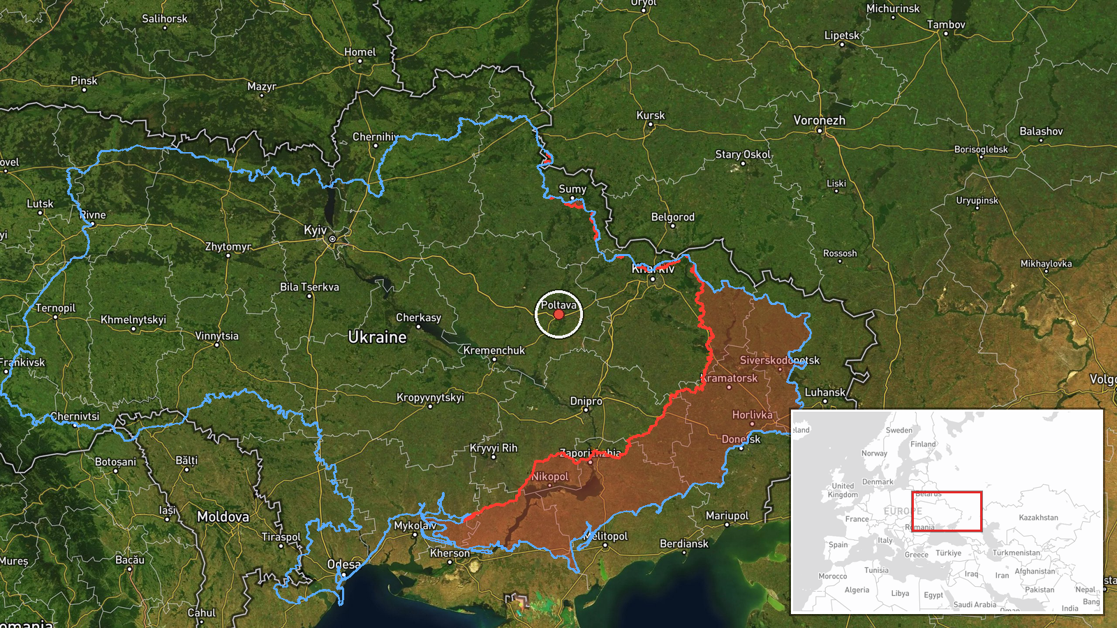
The location is recorded at region level with low confidence. The coordinates (49.59, 34.55) sit near the center of Poltava city rather than Kobeliaky, so they should be read as a placeholder for Poltava Oblast, not the drone's position. The place name Kobeliaky comes from the report's text. The terrain of the area is largely flat steppe and farmland, with river valleys crossing the wider region and no major urban or industrial features tied to this report.
Related events nearby
- Ukrainian air monitoring: 1 Russian jet-powered Shahed (Geran-3) drone from Dnipropetrovsk Oblast toward Polta2026-10-17 08:05 UTC · Drone Transit · Poltava Oblast, Ukraine
- Ukrainian air monitoring: 3+ Russian Shahed-type drones heading toward Poltava Oblast.2026-10-16 11:43 UTC · Drone Transit · Poltava Oblast, Ukraine
- Ukrainian air monitoring: 3+ Russian Shahed-type drones from Kharkiv Oblast toward Poltava Oblast.2026-10-16 10:37 UTC · Drone Transit · Poltava Oblast, Ukraine
- Ukrainian air monitoring: 1 Russian jet-powered Shahed (Geran-3) drone heading toward Kobelyaky.2026-10-17 03:36 UTC · Drone Transit · Kobelyaky, Ukraine
- Ukrainian air monitoring: 1 Russian Shahed-type drone passing northern Dnipropetrovsk Oblast, heading west.2026-10-17 01:23 UTC · Drone Transit · northern Dnipropetrovsk Oblast, Ukraine
▶ View this event on the live map

Intel Mapper aggregates open-source reports from monitored Telegram and X channels, geolocates them, cross-checks duplicates across sources and assigns a confidence score. Entries are updated as new confirmations arrive. Read how we verify events.