Jet-powered Shahed drones reported transiting the Kozelshchyna area of Poltava Oblast on 17 October
What happened
Ukrainian air monitoring reported on 17 October 2026, at 11:55 UTC, that at least two Russian jet-powered Shahed (Geran-3) drones were passing the Kozelshchyna area of Poltava Oblast. The original Ukrainian-language post, published on Telegram, described jet drones passing Kobeliaky heading northwest and passing Kozelshchyna heading west. The English summary instead records the Kozelshchyna drones as heading northwest, so the direction for that group is not fully consistent across the wording. The report is a transit notice rather than a strike report. It does not describe impacts, damage, casualties, or interceptions. The event is logged as a Drone Transit attributed to Russia.
Context and assessment
Poltava Oblast sits in central Ukraine, and the towns named in this sequence lie along a broad arc of the region, including Kobeliaky, Kozelshchyna, Hlobyne, Kremenchuk, and the city of Poltava. The related events show a steady run of alerts across the oblast over roughly 32 hours. At 18:29 UTC on 16 October, a single Shahed-type drone was reported heading toward Kremenchuk. At 00:06 and 03:36 on 17 October, jet-powered Geran-3 drones were reported heading toward Hlobyne and Kobeliaky. At 08:17, another Geran-3 was reported passing the oblast heading northwest. At 11:26, a Banderol mini cruise missile was reported heading toward Poltava, roughly half an hour before the Kozelshchyna report. This pattern is consistent with several aircraft and at least one missile using overlapping corridors through central Ukraine. Transit reports of this kind do not reveal the intended target. The routing may reflect flight paths toward targets further north or west, or it may be part of a wider effort to saturate air defenses across several districts. The jet-powered Geran-3 variant is faster than the older piston-engine Shahed, which narrows the time available for interception and warning.
Sources and confidence
The event rests on a single Telegram channel, @kpszsu, which is widely known as the Ukrainian Air Force's official account. No second independent channel is listed as confirming the Kozelshchyna transit at the time of writing. The confidence score of 8.0 reflects the authority of the source and the specificity of the report, but it is held below the maximum because the claim is single-sourced and the direction of travel differs between the original and the summary. Confidence would rise with independent confirmation, such as local officials or regional observers reporting the same drones, or with consistent tracking data. It would fall if the Air Force later revised the direction or the drone count, or if the alert were shown to refer to a different settlement.
Location
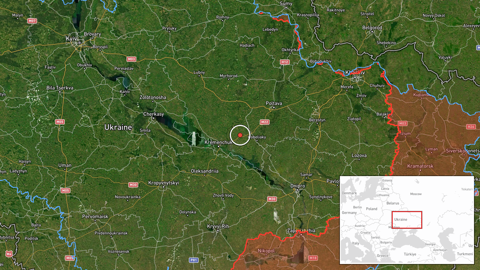
The coordinates correspond to the settlement of Kozelshchyna in Poltava Oblast, which is classed as settlement-level precision with high location confidence. The point is a settlement centroid, so the drones were not necessarily over the town itself and may have passed nearby farmland or rural areas. The setting is the agricultural plains of central Ukraine, a largely flat landscape of fields, small rivers, and scattered woodland. The Vorskla and Dnipro river systems lie within a broader radius of the region. The map point should be read as the reference area for the transit, not as a precise flight path.
Related events nearby
- Ukrainian air monitoring: 1 Russian jet-powered Shahed (Geran-3) drone heading toward Kobelyaky.2026-10-17 03:36 UTC · Drone Transit · Kobelyaky, Ukraine
- Ukrainian air monitoring: 1 Russian Shahed-type drone heading toward Kremenchuk.2026-10-16 18:29 UTC · Drone Transit · Kremenchuk, Ukraine
- Ukrainian air monitoring: 1 Russian jet-powered Shahed (Geran-3) drone heading toward Hlobyne.2026-10-17 00:06 UTC · Drone Transit · Hlobyne, Ukraine
- Ukrainian air monitoring: 1 Russian Banderol mini cruise missile heading toward Poltava.2026-10-17 11:26 UTC · Cruise Missile · Poltava, Ukraine
- Ukrainian air monitoring: 1 Russian jet-powered Shahed (Geran-3) drone passing Poltava Oblast, heading northwe2026-10-17 08:17 UTC · Drone Transit · Poltava Oblast, Ukraine
▶ View this event on the live map

Intel Mapper aggregates open-source reports from monitored Telegram and X channels, geolocates them, cross-checks duplicates across sources and assigns a confidence score. Entries are updated as new confirmations arrive. Read how we verify events.