Ukrainian Air Force reports one Russian Shahed-type drone passing Bershad, Vinnytsia Oblast, heading west
What happened
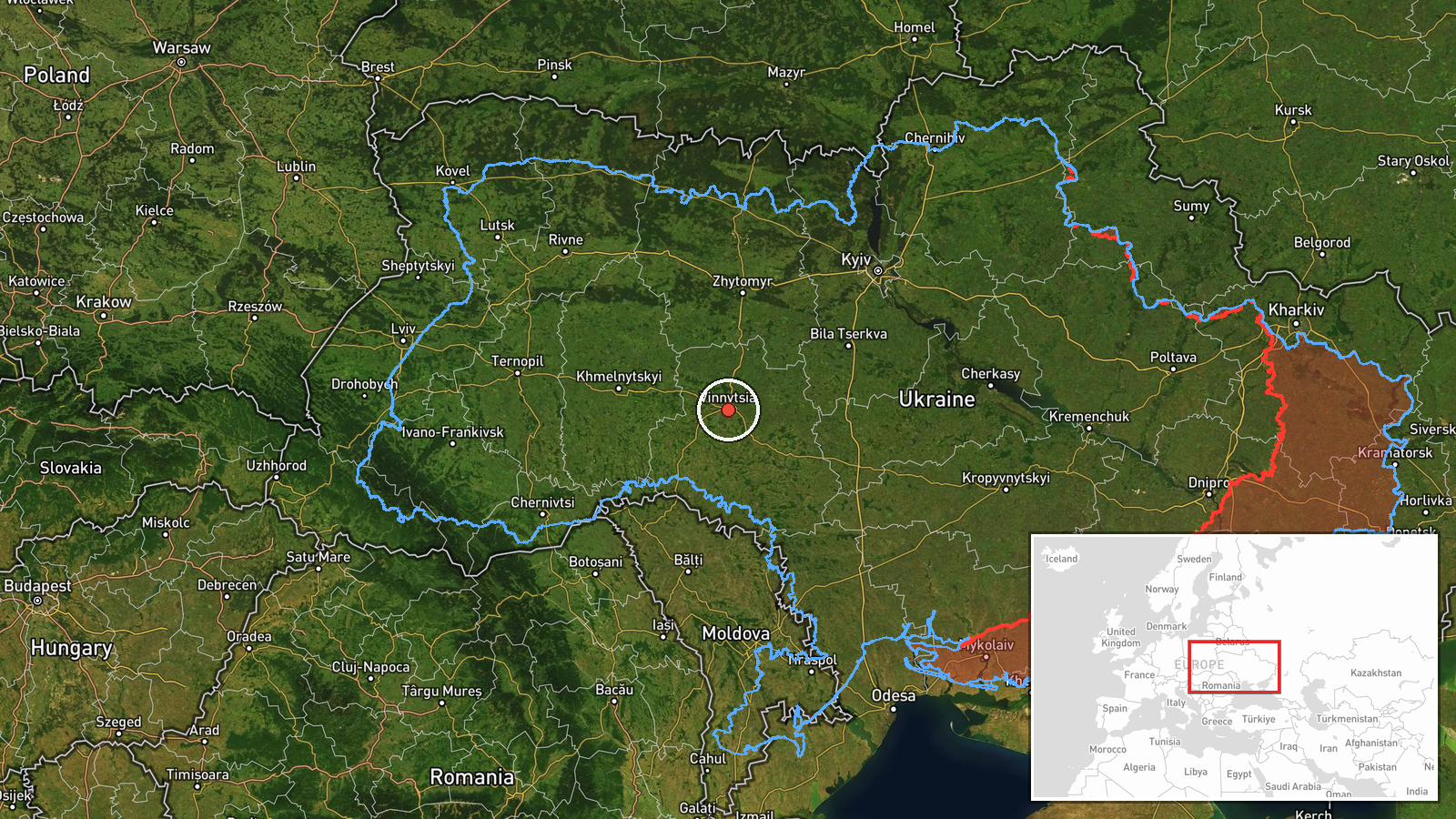
Ukrainian air monitoring reported on Telegram that one Russian Shahed-type drone was passing Bershad, a town in Vinnytsia Oblast, and heading west. The post, published by the official Ukrainian Air Force channel @kpszsu, labels the drone as a strike UAV, but its wording describes a transit, not an impact. No strike, casualties, or damage are mentioned. The event is timed 14:44 UTC on 17 October 2026. The map pin is placed at region level, at approximately 49.23 N, 28.47 E, so it marks Vinnytsia Oblast broadly rather than the town itself. The report comes from a single channel, and no other outlet in the data confirms it.
Context and assessment
Vinnytsia Oblast sits in west-central Ukraine, far from the front line, but it lies on routes that drones have used to cross the country toward western regions. Its rail junctions, energy infrastructure, and military logistics make it a recurring point on air-alert maps. The related events show a dense run of reports through the same oblast on 17 October. At 02:41 UTC, two or more jet-powered Geran-3 drones were reported heading toward Vinnytsia. Later reports at 05:32 and 06:25 describe Shahed-type and Geran-3 drones passing the area, with headings toward the oblast and then northwest. At 14:52 a Shahed-type drone was reported heading northwest, and at 14:54 a Geran-3 was reported moving from Odesa Oblast toward Vinnytsia. Taken together, these reports suggest a series of drones entering from the south or southeast and moving through the oblast on varied headings. This pattern may indicate routed transit flights, decoys, or drones being redirected in flight, but the reports alone cannot confirm which. The Bershad report fits the same sequence, so it is best read as one part of a continuing air movement rather than an isolated event.
Sources and confidence
The event rests on one Telegram channel, @kpszsu, which is the Ukrainian Air Force's official account. Its single-source status keeps the confidence score at 8.0 out of a possible scale rather than higher. The event has not been cross-confirmed by a second channel, regional administration, or independent monitoring in the data. The score would rise if radar-based monitoring, a regional military administration, or a news agency independently reported a drone in the same area and time window. It would also rise if later reports described debris, a fall, or an impact at Bershad. The score would fall if the Air Force later corrected the track or if other monitors reported no drone in the area. The record is currently marked uncorrected.
Location
The post names Bershad, a town in Vinnytsia Oblast, but the stored coordinates are region-level, and the location confidence is recorded as low. The pin therefore represents the oblast as a whole rather than the settlement. Vinnytsia Oblast lies in west-central Ukraine within the broader Podillia region. Its terrain is mostly rolling farmland, with river valleys and scattered forest. The oblast is a key corridor between southern Ukraine and western regions.
Related events nearby
- Ukrainian air monitoring: 1 Russian jet-powered Shahed (Geran-3) drone passing Vinnytsia Oblast, heading north2026-10-17 15:17 UTC · Drone Transit · Vinnytsia Oblast, Ukraine
- Ukrainian air monitoring: 1 Russian jet-powered Shahed (Geran-3) drone from Odesa Oblast toward Vinnytsia Obla2026-10-17 14:54 UTC · Drone Transit · Vinnytsia Oblast, Ukraine
- Ukrainian air monitoring: 1 Russian Shahed-type drone passing Vinnytsia Oblast, heading northwest.2026-10-17 14:52 UTC · Drone Transit · Vinnytsia Oblast, Ukraine
- Ukrainian air monitoring: 1 Russian jet-powered Shahed (Geran-3) drone passing Vinnytsia Oblast, heading north2026-10-17 06:25 UTC · Drone Transit · Vinnytsia Oblast, Ukraine
- Ukrainian air monitoring: 1 Russian Shahed-type drone passing Tetiiv, heading toward Vinnytsia Oblast.2026-10-17 05:32 UTC · Drone Transit · Vinnytsia Oblast, Ukraine
▶ View this event on the live map

Intel Mapper aggregates open-source reports from monitored Telegram and X channels, geolocates them, cross-checks duplicates across sources and assigns a confidence score. Entries are updated as new confirmations arrive. Read how we verify events.