Single Shahed-type drone reported transiting Vinnytsia Oblast heading northwest, per Ukrainian air monitoring
What happened
Ukrainian air monitoring reported on 17 October 2026 at about 14:52 UTC that one Russian Shahed-type strike drone was passing near Trostianets in Vinnytsia Oblast, moving northwest. The original Ukrainian-language post, published on the Telegram channel @kpszsu, describes the drone as a strike UAV heading in that direction, without reporting any impact, casualties or damage. The event is recorded as a transit rather than an attack. Because the report comes from a single channel, the track and direction are as stated by that source and have not been independently confirmed by a second outlet.
Context and assessment
Vinnytsia Oblast lies in west-central Ukraine, between the Dnipro and Southern Bug river basins and well to the north of the front line, so drones seen here are usually en route to targets farther west or north rather than striking the region directly. The related events show a sustained pattern on the same day: at least five transit reports for the oblast between 05:32 and 15:17 UTC, several of them describing jet-powered Geran-3 variants and at least one moving from Odesa Oblast toward Vinnytsia. The repeated northwest headings suggest a steady stream of long-range drones following similar corridors, a pattern consistent with a mass or sustained launch cycle rather than an isolated probe. Monitoring reports of this kind are typically used to warn air defence units and local populations along the flight path. Operationally, the sequence may indicate routing toward western Ukraine, though the data does not show the intended target, and transit reports alone cannot establish whether the drones later struck or were intercepted.
Sources and confidence
The report rests on one Telegram channel, @kpszsu, which is an official Ukrainian air-force-linked monitoring source with a generally reliable record for transit alerts. No second channel in the dataset independently confirms this specific track, although related same-day transit events from the same source reinforce the pattern. The confidence score of 8.0 reflects a credible official origin offset by single-source status and the absence of a precise position. It would rise with corroboration from another monitoring channel, radar-based reporting, or a later official update identifying the drone's track. It would fall if the source corrected the heading or location, or if later reporting showed the alert was superseded.
Location
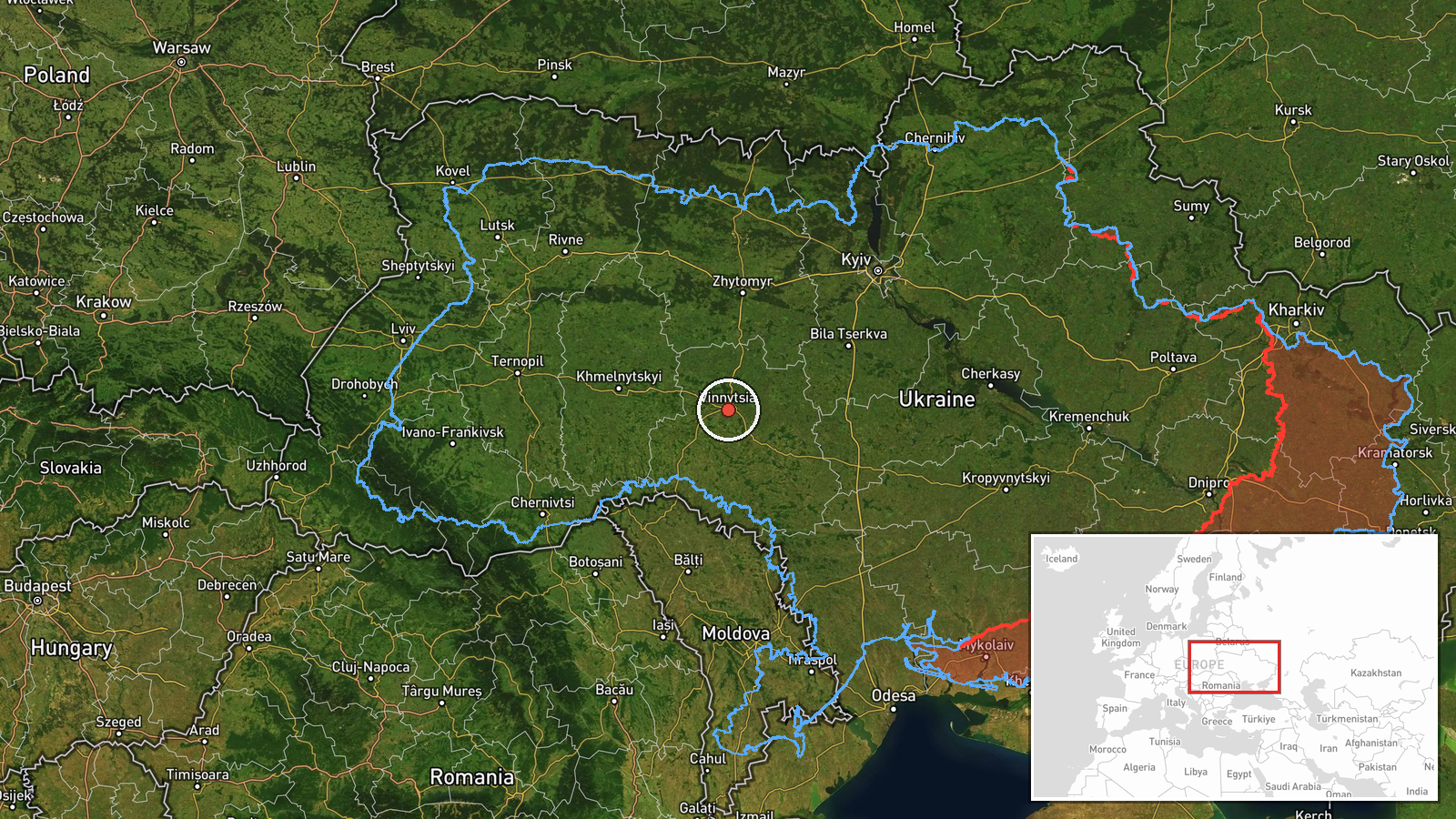
The coordinates are a region-level approximation centred on Vinnytsia Oblast, not a pinpoint fix. The original post names Trostianets, a settlement in the oblast, and the related events reference Tetiiv, so the mapped point reflects the oblast as a whole rather than either settlement. The oblast is largely agricultural, with rolling farmland, river valleys and forest belts, and the regional capital Vinnytsia lies on the Southern Bug. Its position between the southern and western parts of the country makes it a common transit zone for drones heading northwest.
Related events nearby
- Ukrainian air monitoring: 1 Russian jet-powered Shahed (Geran-3) drone passing Vinnytsia Oblast, heading north2026-10-17 15:17 UTC · Drone Transit · Vinnytsia Oblast, Ukraine
- Ukrainian air monitoring: 1 Russian jet-powered Shahed (Geran-3) drone from Odesa Oblast toward Vinnytsia Obla2026-10-17 14:54 UTC · Drone Transit · Vinnytsia Oblast, Ukraine
- Ukrainian air monitoring: 1 Russian Shahed-type drone passing Vinnytsia Oblast, heading west.2026-10-17 14:44 UTC · Drone Transit · Vinnytsia Oblast, Ukraine
- Ukrainian air monitoring: 1 Russian jet-powered Shahed (Geran-3) drone passing Vinnytsia Oblast, heading north2026-10-17 06:25 UTC · Drone Transit · Vinnytsia Oblast, Ukraine
- Ukrainian air monitoring: 1 Russian Shahed-type drone passing Tetiiv, heading toward Vinnytsia Oblast.2026-10-17 05:32 UTC · Drone Transit · Vinnytsia Oblast, Ukraine
▶ View this event on the live map

Intel Mapper aggregates open-source reports from monitored Telegram and X channels, geolocates them, cross-checks duplicates across sources and assigns a confidence score. Entries are updated as new confirmations arrive. Read how we verify events.