Single Russian Geran-3 drone reported transiting Vinnytsia Oblast, heading northwest
What happened
Ukrainian air monitoring reported on Telegram, via the channel @kpszsu, that a single jet-powered Shahed-type drone, described in the post as a Geran-3, was passing over Vinnytsia Oblast and moving northwest. The post, timestamped 15:17 UTC on 17 October 2026, names Berezivka as the place it was seen passing. The wording is an alert about a flight path, not a report of impact, and no strike, damage, or casualties are described. The original Ukrainian phrase 'ще реактивний БпЛА' means another jet-powered unmanned aircraft, which signals that it followed earlier warnings. The event is classed as a drone transit, and attribution to Russia rests on the Shahed design family rather than any claim of responsibility.
Context and assessment
Vinnytsia Oblast lies in west-central Ukraine, between the Kyiv region and the Odesa coast, so drones heading from the south toward central and western Ukraine often cross it. The related events show a sustained pattern on the same day, with five earlier monitoring reports for the oblast between 05:32 and 14:54 UTC. Several describe a drone moving from Odesa Oblast toward Vinnytsia, or heading west and northwest, which suggests multiple aircraft using corridors through the region rather than one isolated track. The Geran-3 designation appears in three of the six posts, including this one, indicating that the jet-powered variant was reported repeatedly during the day. Operationally, repeated transit reports like these are typically used by air defence and civil authorities to track routes and issue warnings. They may point to routing changes, to mixed decoy and more capable aircraft, or simply to traffic volume. Because these posts describe trajectories rather than impacts, they do not by themselves indicate a planned target in the oblast.
Sources and confidence
The report comes from a single Telegram channel, @kpszsu, and no other source in the dataset confirms it. The confidence score of 8.0 reflects a credible monitoring channel with a clear timestamp that fits the surrounding series of reports, but its single-source status limits it. The score would rise if regional military administration or air force statements, or independent flight-tracking data, matched the trajectory. It would fall if later posts contradicted the drone's direction or type, or if the track were revised.
Location
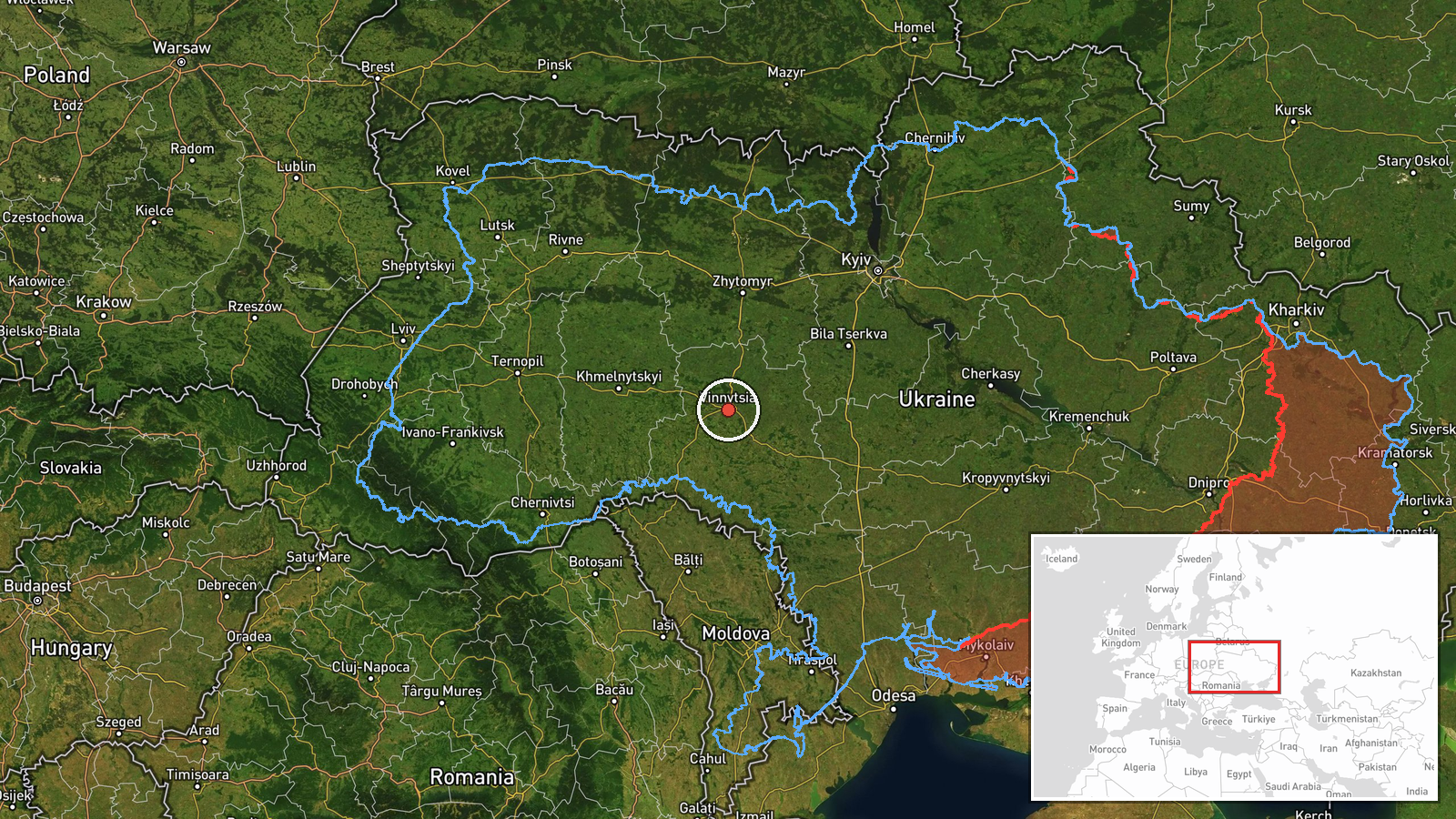
The coordinates are at region level, not settlement level. The post names Berezivka, but the dataset assigns a generic Vinnytsia Oblast point and marks location confidence as low, so the marker shows the oblast rather than the exact village. Vinnytsia Oblast is in west-central Ukraine, and the Southern Bug river crosses its territory. Treat the pin as an approximate area for a flight path, not a fixed site.
Related events nearby
- Ukrainian air monitoring: 1 Russian jet-powered Shahed (Geran-3) drone from Odesa Oblast toward Vinnytsia Obla2026-10-17 14:54 UTC · Drone Transit · Vinnytsia Oblast, Ukraine
- Ukrainian air monitoring: 1 Russian Shahed-type drone passing Vinnytsia Oblast, heading northwest.2026-10-17 14:52 UTC · Drone Transit · Vinnytsia Oblast, Ukraine
- Ukrainian air monitoring: 1 Russian Shahed-type drone passing Vinnytsia Oblast, heading west.2026-10-17 14:44 UTC · Drone Transit · Vinnytsia Oblast, Ukraine
- Ukrainian air monitoring: 1 Russian jet-powered Shahed (Geran-3) drone passing Vinnytsia Oblast, heading north2026-10-17 06:25 UTC · Drone Transit · Vinnytsia Oblast, Ukraine
- Ukrainian air monitoring: 1 Russian Shahed-type drone passing Tetiiv, heading toward Vinnytsia Oblast.2026-10-17 05:32 UTC · Drone Transit · Vinnytsia Oblast, Ukraine
▶ View this event on the live map

Intel Mapper aggregates open-source reports from monitored Telegram and X channels, geolocates them, cross-checks duplicates across sources and assigns a confidence score. Entries are updated as new confirmations arrive. Read how we verify events.