Jet-powered Shahed-type drone reported transiting Vinnytsia Oblast, heading northwest
What happened
Ukraine's Air Force monitoring channel on Telegram, @kpszsu, reported on 17 October 2026 at 06:25 UTC that one jet-powered drone, identified as a Russian Geran-3 type, was passing near Vapniarka in Vinnytsia Oblast and moving in a northwestern direction. The original Ukrainian wording describes a 'reactive UAV' (Реактивний БпЛА) passing 'повз' the settlement, which denotes transit rather than a strike. The report contains no mention of impact, casualties, or damage. Because it appears on a single channel and no secondary confirmation is present in the data, it should be treated as an initial monitoring notice rather than a verified event outcome.
Context and assessment
The report belongs to a run of drone-transit notices covering Vinnytsia Oblast over roughly 11 hours. Earlier entries, from 18:36 UTC on 16 October through 05:32 UTC on 17 October, describe single Shahed-type drones passing Tulchyn and Tetiiv or heading toward Vinnytsia, and a 02:41 UTC entry describes two or more jet-powered Geran-3 drones on the same approach. The sequence suggests a sustained flow of long-range drones through the oblast rather than an isolated sighting. Shahed-type drones are one-way attack systems that can carry explosive warheads, and their transits are often logged because they may be routed toward targets farther west or north, or may be diverted by air defense. Jet-powered variants are faster than the propeller-driven originals, which shortens warning times and makes interception harder for some mobile fire groups. Vinnytsia is a regional centre with rail, energy, and industrial infrastructure, so a recurring flight path over the oblast is of practical interest to residents and planners. None of the related reports in the data describe impacts, so any operational inference remains tentative.
Sources and confidence
All information comes from one Telegram channel, @kpszsu, which is the Ukrainian Air Force's official monitoring account. No independent outlet or second channel in the provided data confirms this specific transit. The confidence score of 8.0 reflects the channel's institutional role and the consistency of its earlier reports, offset by the single-source basis and the lack of corroborating sensor or wreckage reports. Confidence would rise with a second official or independent confirmation, a local authority statement, or matching reports from neighbouring oblasts. It would fall if later updates revised the drone type, direction, or reported location, or if the track were attributed to another airframe.
Location
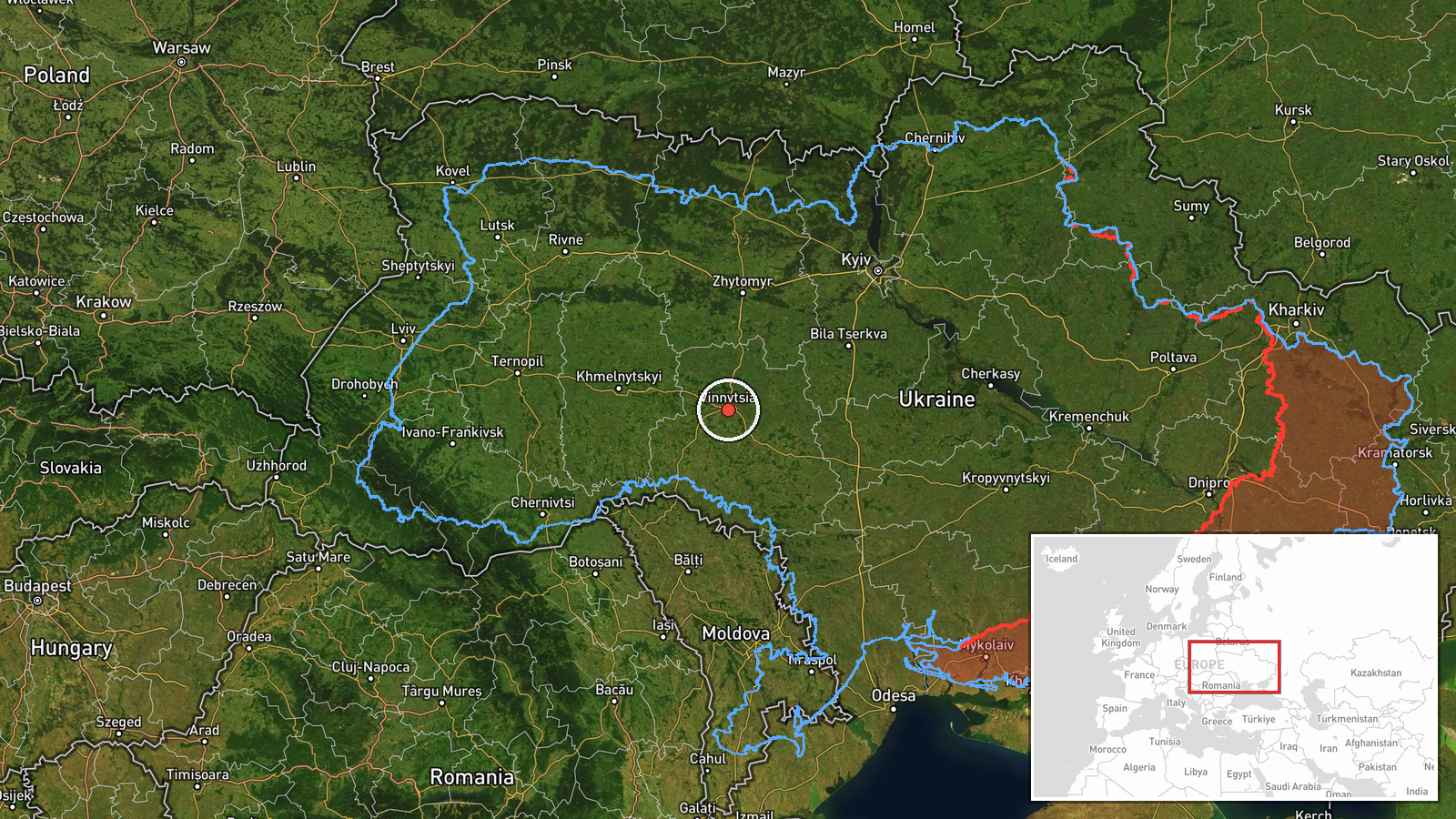
The event is tagged at region level, so the coordinates (49.23, 28.47) represent a broad approximation of Vinnytsia Oblast rather than a precise point. The original text names Vapniarka, a small settlement in the Tulchyn area of the oblast's south, but the supplied coordinates appear to sit north-west of that settlement's approximate position. The oblast lies in west-central Ukraine within the Podolia region, with rolling terrain and the Southern Bug River basin to the south. Treat the pin as oblast-level only.
Related events nearby
- Ukrainian air monitoring: 1 Russian Shahed-type drone passing Tetiiv, heading toward Vinnytsia Oblast.2026-10-17 05:32 UTC · Drone Transit · Vinnytsia Oblast, Ukraine
- Ukrainian air monitoring: 2+ Russian jet-powered Shahed (Geran-3) drones heading toward Vinnytsia.2026-10-17 02:41 UTC · Drone Transit · Vinnytsia, Ukraine
- Ukrainian air monitoring: 1 Russian Shahed-type drone heading toward Vinnytsia.2026-10-16 20:12 UTC · Drone Transit · Vinnytsia, Ukraine
- Ukrainian air monitoring: 1 Russian Shahed-type drone passing Tulchyn, heading toward Vinnytsia.2026-10-16 19:59 UTC · Drone Transit · Vinnytsia, Ukraine
- Ukrainian air monitoring: 1 Russian Shahed-type drone heading toward Vinnytsia.2026-10-16 18:36 UTC · Drone Transit · Vinnytsia, Ukraine
▶ View this event on the live map

Intel Mapper aggregates open-source reports from monitored Telegram and X channels, geolocates them, cross-checks duplicates across sources and assigns a confidence score. Entries are updated as new confirmations arrive. Read how we verify events.