Ukrainian air monitoring reports one Russian Geran-3 jet drone on or past Khmelnytskyi
What happened
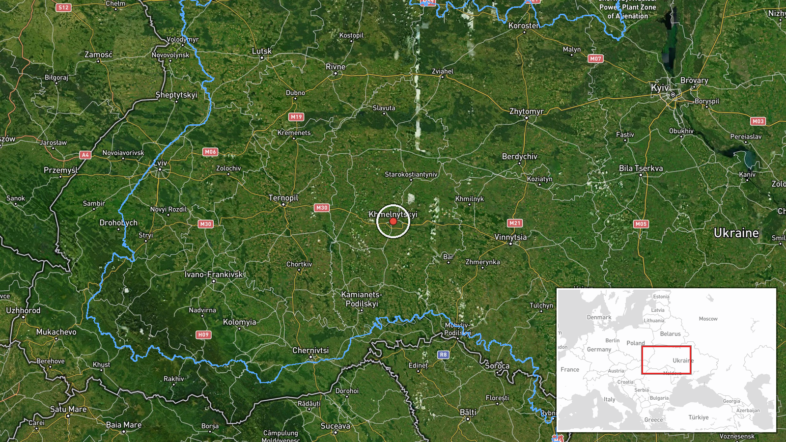
Ukrainian air monitoring reported at 14:01 UTC on 19 October 2026 that one Russian jet-powered Shahed, designated Geran-3, was moving on or past Khmelnytskyi, approaching from the north. The original Ukrainian-language post, published on the Telegram channel listed as @kpszsu, uses the phrase 'на/повз', meaning 'on or past', and describes a jet-powered drone rather than a conventional propeller model. The English summary says the drone was 'over' the city, which is a looser reading than the source's wording. The post is a transit notice. It does not describe impacts, damage or casualties, and the attribution to Russia rests on the drone type named in the report.
Context and assessment
Khmelnytskyi sits in western Ukraine, several hundred kilometres west of Kyiv, and the surrounding oblast has repeatedly appeared in recent monitoring traffic. Related reports from the same day show a sequence of Russian drone tracks crossing the region. At 06:27 UTC two or more Geran-3 drones were reported heading toward Khmilnyk. At 07:57 two or more Geran-3 drones were reported moving from Vinnytsia Oblast toward Khmelnytskyi Oblast. A single Geran-3 was later reported from Vinnytsia Oblast toward Vinkivtsi at 14:25, a timestamp that falls after the 14:01 Khmelnytskyi report and may reflect posting or ordering differences. The evening before, at 19:33 UTC on 18 October, a single Banderol mini cruise missile was reported heading toward Khmelnytskyi Oblast. Taken together, the pattern suggests repeated routing of small groups and single aircraft through the oblast over roughly a day, mixing drone and missile types. Operationally this may indicate probing of air defence coverage, transit toward targets further along the route, or a deliberate effort to keep the region under sustained alert. The data alone cannot establish which of these is the case.
Sources and confidence
The report rests on one Telegram channel, and the source count is one. No wire service, official statement, photograph or independent monitor is listed as confirming it. The confidence score of 8.0 out of 10 reflects the specific aircraft type, the precise settlement reference and the alignment with a broader pattern of similar reports that day. It does not reflect independent verification of the track itself. Confidence would rise with confirmation from an official Ukrainian air force statement, a regional military administration, or reports of sound or debris in the area. It would fall if the channel corrected or withdrew the post, or if later track data placed the drone elsewhere. The record is not marked as corrected.
Location
Location was assigned at settlement precision, with high location confidence, using coordinates of approximately 49.42 N, 26.98 E for the city of Khmelnytskyi. The point is a settlement centre rather than a specific facility, so it marks the area named in the report rather than a target. The city lies in western Ukraine on the Southern Bug river, in the Podolian upland landscape of gentle hills, farmland and river valleys.
Related events nearby
- Ukrainian air monitoring: 1 Russian jet-powered Shahed (Geran-3) drone heading toward Khmelnytskyi.2026-10-19 14:01 UTC · Drone Transit · Khmelnytskyi, Ukraine
- Ukrainian air monitoring: 2+ Russian jet-powered Shahed (Geran-3) drones from Vinnytsia Oblast toward Khmelnyt2026-10-19 07:57 UTC · Drone Transit · Khmelnytskyi Oblast, Ukraine
- Ukrainian air monitoring: 1 Russian Banderol mini cruise missile heading toward Khmelnytskyi Oblast.2026-10-18 19:33 UTC · Cruise Missile · Khmelnytskyi Oblast, Ukraine
- Ukrainian air monitoring: 1 Russian jet-powered Shahed (Geran-3) drone from northern Vinnytsia Oblast toward S2026-10-19 14:45 UTC · Drone Transit · Starokostyantyniv, Ukraine
- Ukrainian air monitoring: 1 Russian jet-powered Shahed (Geran-3) drone from Vinnytsia Oblast toward Vinkivtsi.2026-10-19 14:25 UTC · Drone Transit · Vinkivtsi, Ukraine
▶ View this event on the live map

Intel Mapper aggregates open-source reports from monitored Telegram and X channels, geolocates them, cross-checks duplicates across sources and assigns a confidence score. Entries are updated as new confirmations arrive. Read how we verify events.