Russian Geran-3 drone reported over Starokostyantyniv in Ukrainian air alert
What happened
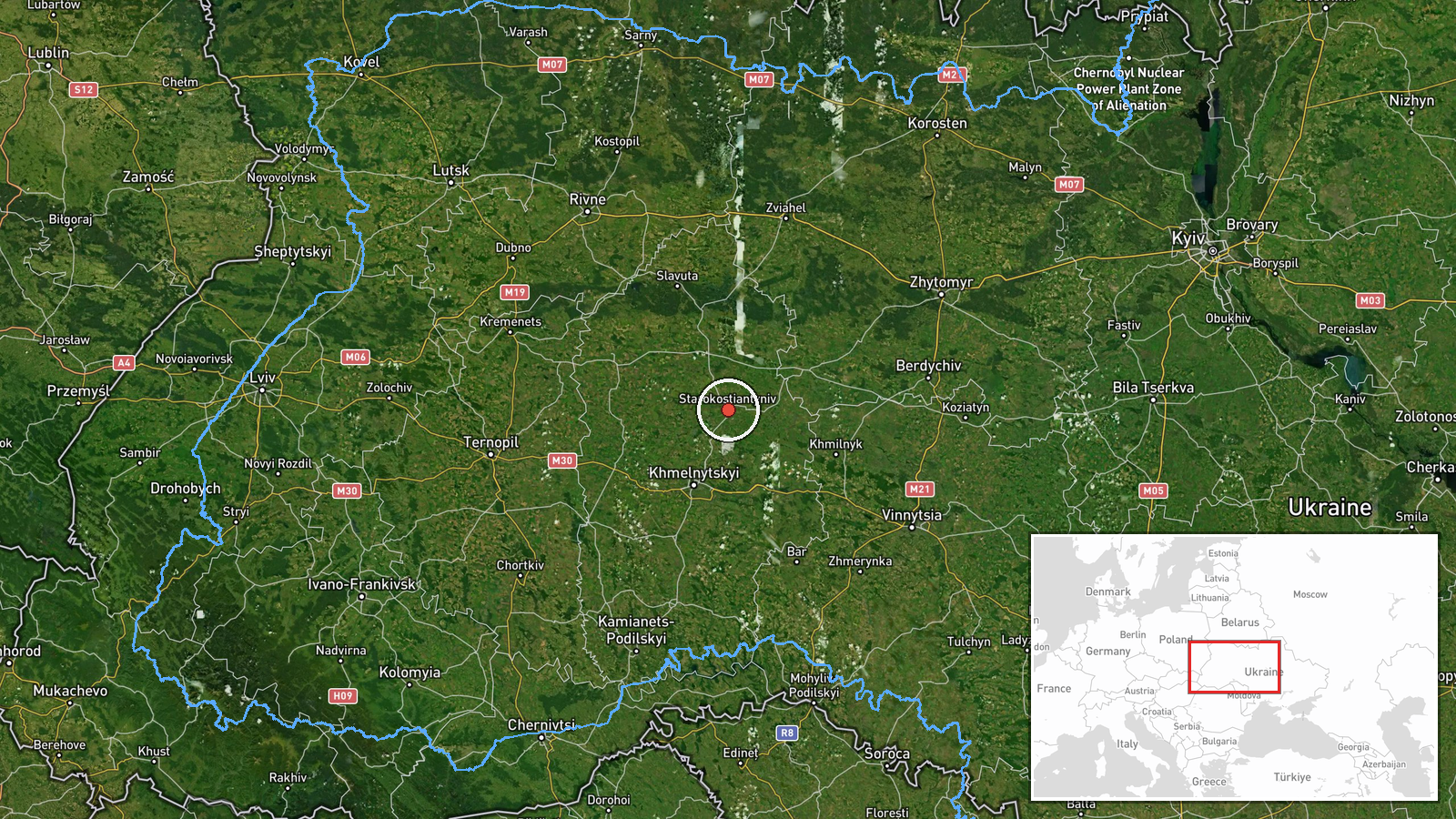
Ukrainian air monitoring reported one Russian jet-powered Shahed-type drone, identified in the source as a Geran-3, over the town of Starokostyantyniv in Khmelnytskyi Oblast, western Ukraine, at 18:44 UTC on 19 October 2026. The alert, posted on the Telegram channel @kpszsu, was framed as a shelter instruction to residents, with the drone described as approaching from the north. The original Ukrainian text translates roughly as 'Starokostyantyniv to shelter, jet-powered UAV from the north.' The post describes a transit track rather than a strike. It mentions no impact, casualties, or damage, and none is claimed here. The timestamp is one observation in a series of drone reports for the same area earlier that afternoon and evening.
Context and assessment
Starokostyantyniv is a mid-sized town in western Ukraine and is reportedly home to a military airfield, which may help explain why it appears repeatedly in air alerts. The related reports show a clear pattern. Between 14:01 and 18:41 UTC on the same day, Ukrainian air monitoring logged several Geran-3 tracks passing over or heading toward Khmelnytskyi and Starokostyantyniv, with one report noting a drone from northern Vinnytsia Oblast. One report at 18:41 described two or more drones coming from southwestern Zhytomyr Oblast, so approach routes appear to vary, with some tracks entering from the north and others from the west or northwest. Taken together, the sequence suggests sustained air activity over a corridor of western Ukraine rather than a single isolated flight. Operationally, the reports may indicate that drones are being tracked along routes toward or past the town, possibly as part of wider deep-strike activity against targets further west or north. Because these reports describe transit and alerts rather than impacts, the pattern is best read as a signal of monitored movement. It does not by itself establish intent or a specific target.
Sources and confidence
Only one channel, Telegram @kpszsu, is listed for this event, and the data logs no second outlet. The channel appears to be a Ukrainian air force monitoring account, so the report reflects an official-style air alert rather than open-source inference. The confidence score of 8.0 is high but not maximal because it rests on a single channel without independent confirmation, such as a second alert, radar-based corroboration, or local reporting. Confidence would rise if other official or regional channels echoed the track, and would fall if later updates revised the route or direction of approach.
Location
The coordinates correspond to Starokostyantyniv at settlement precision, and location confidence is rated high. The point marks the town as a whole rather than a specific facility or airfield, and the drone is reported as transiting over the settlement, so the point should be read as an area reference, not a precise flight position. The town lies in Khmelnytskyi Oblast in western Ukraine, on the Horyn River, in gently rolling agricultural terrain. Nearby features include the Horyn valley and the regional road links to Khmelnytskyi city.
Related events nearby
- Ukrainian air monitoring: 2+ Russian jet-powered Shahed (Geran-3) drones from southwestern Zhytomyr Oblast tow2026-10-19 18:41 UTC · Drone Transit · Starokostyantyniv, Ukraine
- Ukrainian air monitoring: 1 Russian jet-powered Shahed (Geran-3) drone from northern Khmelnytskyi Oblast towar2026-10-19 17:28 UTC · Drone Transit · Starokostyantyniv, Ukraine
- Ukrainian air monitoring: 1 Russian jet-powered Shahed (Geran-3) drone from northern Vinnytsia Oblast toward S2026-10-19 14:45 UTC · Drone Transit · Starokostyantyniv, Ukraine
- Ukrainian air monitoring: 1 Russian jet-powered Shahed (Geran-3) drone heading toward Khmelnytskyi.2026-10-19 14:01 UTC · Drone Transit · Khmelnytskyi, Ukraine
- Ukrainian air monitoring: 1 Russian jet-powered Shahed (Geran-3) drone over Khmelnytskyi.2026-10-19 14:01 UTC · Drone Transit · Khmelnytskyi, Ukraine
▶ View this event on the live map

Intel Mapper aggregates open-source reports from monitored Telegram and X channels, geolocates them, cross-checks duplicates across sources and assigns a confidence score. Entries are updated as new confirmations arrive. Read how we verify events.