Russian jet-powered Shahed (Geran-3) drone reported heading toward Horenychi, Kyiv Oblast
What happened
Ukrainian air monitoring reported on Telegram that a single jet-powered Shahed-type drone, identified as the Russian Geran-3, was heading toward Horenychi on 20 October 2026 at about 10:22 UTC. The original post, written in Ukrainian, refers to a jet-powered unmanned aerial vehicle over Horenychi and Bilohorodka, while the English summary names only Horenychi, so the report appears to cover the area between the two settlements. The message describes a transit, not a confirmed impact. It gives no information on whether the drone struck anything, was intercepted, or continued past the area. The source is the Telegram channel listed as @kpszsu, which is widely associated with Ukrainian air force threat warnings. The report is one of several similar alerts covering Kyiv Oblast and the capital that morning.
Context and assessment
Horenychi lies in the Kyiv region, within the belt of settlements that Russian long-range drone waves have repeatedly crossed on approach to the capital and its surroundings. The related events show a dense cluster on the same morning. A Geran-3 was tracked toward Vorzel at 09:52 UTC, another was reported from Kyiv Oblast toward Hlevakha at 10:06, and then separate single-drone alerts named Akademmistechko, Shuliavka and Zhuliany in Kyiv between 10:20 and 10:24. Taken together, the pattern suggests several jet-powered drones moving through the region in staggered groups rather than one attack on a single point. Because each alert is a heading or transit warning, the sequence does not by itself reveal the intended target. Drones on these routes may be bound for the city, for infrastructure in the oblast, or may be diverted or downed en route. Jet-powered variants are generally faster than older propeller-driven Shaheds, which shortens warning time for residents and air defence crews. Their use in short-interval tracks may be intended to strain detection and interception capacity. Analysts should treat the cluster as a possible coordinated raid pattern, pending reports of impacts or interceptions.
Sources and confidence
The report rests on a single Telegram channel, @kpszsu, which is the only source listed. No independent outlet, official statement, or second channel is recorded for this entry, so cross-confirmation is absent. The confidence score of 8.0 reflects a channel with an established role in issuing real-time air alerts and a precise timestamp. It is offset by the single-source basis and by the fact that the post describes a transit rather than a verified event. Confidence would rise with corroborating alerts from other monitoring channels or reports of an interception or impact in Horenychi. It would fall if later updates retracted or revised the heading.
Location
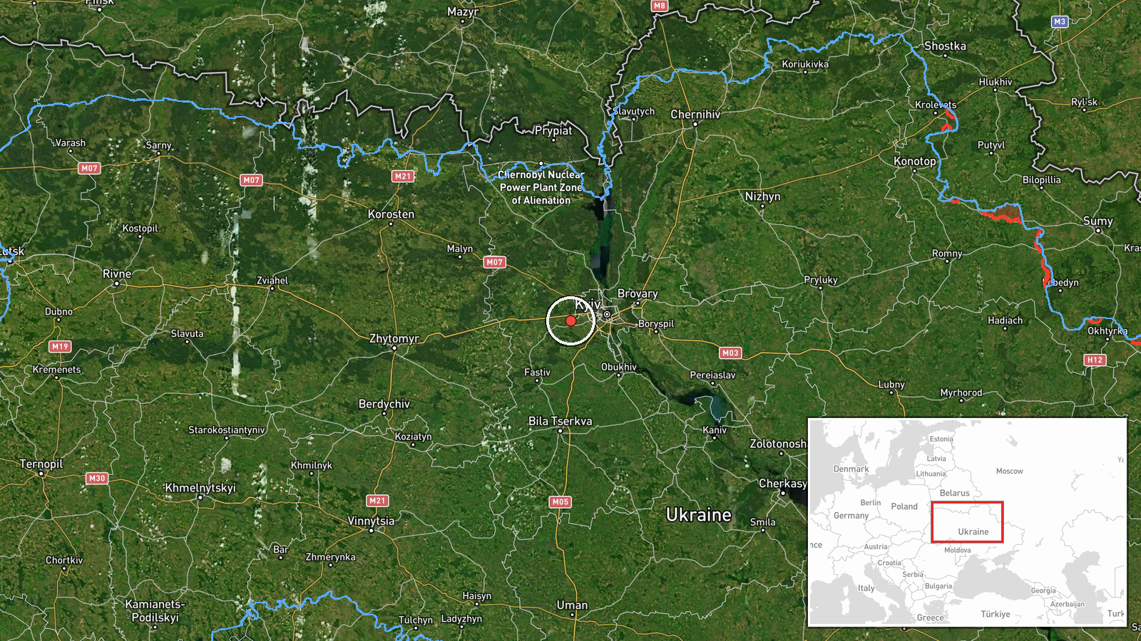
The coordinates are set at settlement precision for Horenychi, consistent with the high location confidence recorded. The point marks the village rather than any specific facility, because the source names a settlement and no site. Horenychi sits in the Kyiv region of north-central Ukraine, on relatively flat agricultural terrain drained by small river valleys that feed toward the Dnipro basin. The original Ukrainian text also names Bilohorodka, a nearby settlement, so the actual track may pass between the two.
Related events nearby
- Ukrainian air monitoring: 1 Russian jet-powered Shahed (Geran-3) drone from Kyiv Oblast toward Vyshneve.2026-10-20 10:40 UTC · Drone Transit · Vyshneve, Ukraine
- Ukrainian air monitoring: 1 Russian jet-powered Shahed (Geran-3) drone heading toward Akademmistechko, Kyiv.2026-10-20 10:20 UTC · Drone Transit · Akademmistechko, Kyiv, Ukraine
- Ukrainian air monitoring: 1 Russian jet-powered Shahed (Geran-3) drone from Kyiv Oblast toward Irpin.2026-10-20 11:14 UTC · Drone Transit · Irpin, Ukraine
- Ukrainian air monitoring: 1 Russian jet-powered Shahed (Geran-3) drone heading toward Borshchahivka, Kyiv.2026-10-20 11:04 UTC · Drone Transit · Borshchahivka, Kyiv, Ukraine
- Ukrainian air monitoring: 1 Russian Shahed-type drone heading toward Boyarka.2026-10-20 10:34 UTC · Drone Transit · Boyarka, Ukraine
▶ View this event on the live map

Intel Mapper aggregates open-source reports from monitored Telegram and X channels, geolocates them, cross-checks duplicates across sources and assigns a confidence score. Entries are updated as new confirmations arrive. Read how we verify events.