Single Russian Shahed-type drone reported heading toward Boyarka, Kyiv Oblast, via Ukrainian air monitoring
What happened
Ukrainian air monitoring channel Telegram (@kpszsu), the official Telegram account of the Ukrainian Air Force, reported on 20 October 2026 at 10:34 UTC that one Russian Shahed-type drone had changed course toward Boyarka, a settlement in Kyiv Oblast just east of the capital. The original post, in Ukrainian, reads roughly as 'changed course toward Boyarka/Vyshneve,' so the report names both settlements in its wording. The post does not describe any impact, casualties, or damage, and no follow-up report from another channel is in the event record. The drone is described only as Shahed-type; the related reports from the same morning specify a jet-powered Geran-3 variant, but this entry does not confirm that model independently.
Context and assessment
Boyarka sits on the eastern approaches to Kyiv, close to the Dnipro corridor and the main road and rail routes into the capital, so Ukrainian air alerts there are routine during long-range drone raids. The record places this track within a tight cluster of single-drone transit reports from the same morning. Hlevakha was reported at 10:06, Horenychi at 10:22, Vyshneve at 10:40, Chabany at 10:48, and Teremky in Kyiv at 10:55, all tagged as jet-powered Geran-3 drones moving from Kyiv Oblast. The steady sequence of settlements, each named a few minutes apart, suggests one or more drones being tracked across successive corridors rather than separate strike waves. Such tracking typically means air defence units are following flight paths and updating public warnings as headings shift. Because the reports name a heading rather than a confirmed target, they indicate where a drone was moving at a given moment, not what it was intended to strike. Operationally, frequent course changes around the capital are commonly read as an attempt to saturate or probe air defence coverage, though that interpretation cannot be verified from this single report.
Sources and confidence
The event rests on one channel, Telegram (@kpszsu), the Ukrainian Air Force's official account, with a source count of one and no independent corroboration in the record. The confidence score of 8.0 out of 10 reflects the official status of the originator and the consistency of the surrounding monitoring reports. It is held below the top of the scale because the post is a short alert without verified impact data and no second channel has confirmed the track. Confidence would rise if independent monitoring, local Kyiv Oblast authorities, or wire services confirmed the heading or a subsequent air alert. It would fall if later Air Force updates retracted or revised the course, or if the track were attributed to a different drone type or launch origin.
Location
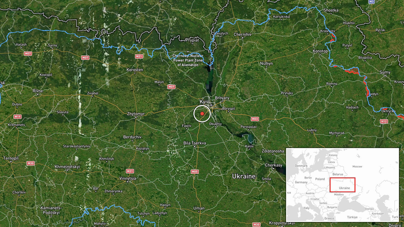
The location is a settlement-level match to Boyarka, Kyiv Oblast, placed at approximately 50.319 N, 30.297 E, with a high location confidence rating. The post names Boyarka together with Vyshneve, so the coordinates reflect the settlement centre rather than any specific facility. Boyarka lies on the Dnipro-side plain east of Kyiv, a flat, wooded and river-influenced landscape. The Dnipro and its tributaries, along with the Kyiv reservoir area to the north and west, are the main nearby natural features, and the settlement is linked to the capital by major highways and suburban rail.
Related events nearby
- Ukrainian air monitoring: 1 Russian jet-powered Shahed (Geran-3) drone from Kyiv Oblast toward Hlevakha.2026-10-20 10:06 UTC · Drone Transit · Hlevakha, Ukraine
- Ukrainian air monitoring: 1 Russian jet-powered Shahed (Geran-3) drone from Kyiv Oblast toward Vyshneve.2026-10-20 10:40 UTC · Drone Transit · Vyshneve, Ukraine
- Ukrainian air monitoring: 1 Russian jet-powered Shahed (Geran-3) drone heading toward Chabany.2026-10-20 10:48 UTC · Drone Transit · Chabany, Ukraine
- Ukrainian air monitoring: 1 Russian jet-powered Shahed (Geran-3) drone heading toward Teremky, Kyiv.2026-10-20 10:55 UTC · Drone Transit · Teremky, Kyiv, Ukraine
- Ukrainian air monitoring: 1 Russian jet-powered Shahed (Geran-3) drone heading toward Horenychi.2026-10-20 10:22 UTC · Drone Transit · Horenychi, Ukraine
▶ View this event on the live map

Intel Mapper aggregates open-source reports from monitored Telegram and X channels, geolocates them, cross-checks duplicates across sources and assigns a confidence score. Entries are updated as new confirmations arrive. Read how we verify events.