Ukrainian air monitoring reports Russian Geran-3 drone heading toward Vyshneve, Kyiv Oblast
What happened
Ukraine's air monitoring channel reported on 20 October 2026 at about 12:25 UTC that one Russian jet-powered Shahed-type drone, identified as the Geran-3, was heading toward Vyshneve in Kyiv Oblast. The original Ukrainian-language post, placed under a Kyiv region heading, described a jet-powered UAV on a course toward Vyshneve. The report gave no information on impact, damage, casualties, or whether the drone was shot down, lost, or diverted. The notice came from a single Telegram channel, @kpszsu, and no independent outlet in this record reported the same track. Related entries from the same morning describe other Geran-3 transits in the Kyiv area over roughly the preceding two hours, and this entry is the latest in that sequence.
Context and assessment
Vyshneve sits on the western edge of the Kyiv metropolitan area, so a drone tracked toward it is effectively on an approach path to the capital region. Related entries show a cluster of Geran-3 reports on the morning of 20 October: a Vyshneve track from Kyiv Oblast at 10:40, Zhuliany in Kyiv reported at 10:24, 11:05 and 11:31, and Borshchahivka in Kyiv at 11:04. The pattern suggests either several drones moving along a similar corridor or a single airframe whose position was updated as it moved, and the record does not settle which. Monitoring posts of this type generally mark a flight path rather than a strike, so the report should not be read as confirmation of an impact. The jet-powered Geran-3 is widely described as faster than the propeller-driven Shahed variants, which may shorten the warning window for defenders and make interception harder. Operationally, repeated transits toward the capital suggest sustained reconnaissance or saturation of air defence attention, though that inference rests on a small number of single-channel reports.
Sources and confidence
All of the reporting for this event traces to one Telegram channel, so there is no cross-confirmation and the confidence score of 8.0 rests mainly on the specificity of the original wording, the drone type, and the consistency with related entries from the same morning. Monitoring alerts of this kind are usually updated or superseded quickly, which limits how much weight a single post can carry. Confidence would rise with a second independent channel, an official Air Force statement covering the same track, or subsequent reports of interception or impact near Vyshneve. It would fall if later updates reassigned the track to another location, reclassified it, or the related entries proved to be duplicates of the same airframe.
Location
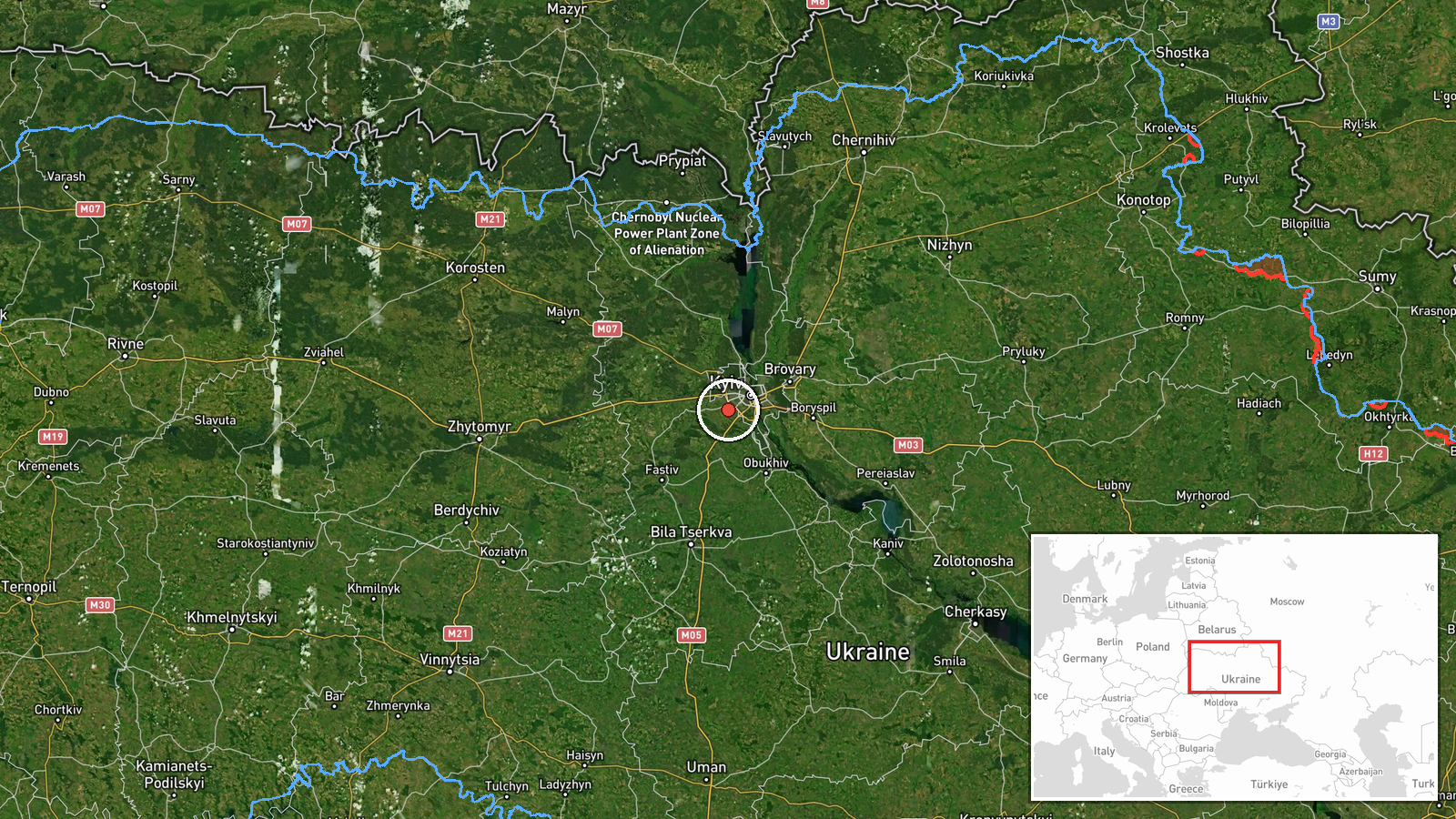
Coordinates correspond to the centre of Vyshneve, a city in Kyiv Oblast, giving settlement-level precision with high location confidence. Vyshneve lies on the western outskirts of the Kyiv metropolitan area, in flat to gently rolling terrain typical of the Dnipro lowland. The settlement is close to the major road and rail routes that connect Kyiv with western Ukraine, which are often referenced in air alert reporting.
Related events nearby
- Ukrainian air monitoring: 1 Russian jet-powered Shahed (Geran-3) drone from Kyiv Oblast toward Vyshneve.2026-10-20 10:40 UTC · Drone Transit · Vyshneve, Ukraine
- Ukrainian air monitoring: 1 Russian jet-powered Shahed (Geran-3) drone heading toward Borshchahivka, Kyiv.2026-10-20 11:04 UTC · Drone Transit · Borshchahivka, Kyiv, Ukraine
- Ukrainian air monitoring: 1 Russian jet-powered Shahed (Geran-3) drone heading toward Zhuliany, Kyiv.2026-10-20 12:41 UTC · Drone Transit · Zhuliany, Kyiv, Ukraine
- Ukrainian air monitoring: 1 Russian jet-powered Shahed (Geran-3) drone heading toward Zhuliany, Kyiv.2026-10-20 11:31 UTC · Drone Transit · Zhuliany, Kyiv, Ukraine
- Ukrainian air monitoring: 1 Russian jet-powered Shahed (Geran-3) drone heading toward Zhuliany, Kyiv.2026-10-20 11:05 UTC · Drone Transit · Zhuliany, Kyiv, Ukraine
▶ View this event on the live map

Intel Mapper aggregates open-source reports from monitored Telegram and X channels, geolocates them, cross-checks duplicates across sources and assigns a confidence score. Entries are updated as new confirmations arrive. Read how we verify events.