Ukrainian air monitoring reports one jet-powered Geran-3 drone heading toward Zhuliany, Kyiv
What happened
Ukraine's Air Force monitoring channel on Telegram, @kpszsu, reported at 12:41 UTC on 20 October 2026 a single jet-powered Shahed-type drone, identified as a Geran-3, flying on a course toward Zhuliany in Kyiv. The original Ukrainian wording also references Solomianka. The report is a short tactical alert describing a transit track rather than a confirmed impact, and it does not state any damage, casualties, or interception. Earlier alerts in the same feed, logged between 10:24 and 11:31 UTC, describe similar single drones heading toward Teremky, Sovky, and Zhuliany, suggesting a sequence of tracks over the Kyiv area during the morning. Because the account is a single source and the wording is terse, the details should be treated as the monitoring channel's reported assessment.
Context and assessment
Zhuliany sits on the western side of Kyiv near the city's airport area and residential districts, which makes it a recurring reference point in air alerts when drones are tracked toward the capital. The five related entries show a pattern of single-drone transit reports across the Kyiv area over roughly ninety minutes, with three naming Zhuliany, one naming Teremky, and one naming Sovky. Sequential tracks like this are consistent with launches that are spread out rather than a single saturating wave, and they are often used by air defence units to shift interceptors and warn districts. The Geran-3 designation signals a jet-powered variant, which generally flies faster and at higher altitude than older propeller-driven Shahed models, reducing the time available for response. The repeated naming of Zhuliany may reflect a target area, a navigation waypoint, or simply the feed's reporting convention; the data alone does not establish which. Operationally, the pattern may indicate probing of approach routes or sustained pressure on the capital's air defence, but without impact reports or flight-path data, that reading remains provisional.
Sources and confidence
Single source: the Telegram channel @kpszsu, which relays Ukrainian Air Force air-monitoring alerts. No independent outlet, wire service, or second channel in the dataset confirms this track, so cross-confirmation is absent. The confidence score of 8.0 reflects a credible official-linked origin and a clear, specific report, tempered by the lack of corroboration and the terse wording. Confidence would rise with matching alerts from other monitoring channels, official statements naming the track, or subsequent reports of an impact or interception. It would fall if later updates revised the target or the drone type.
Location
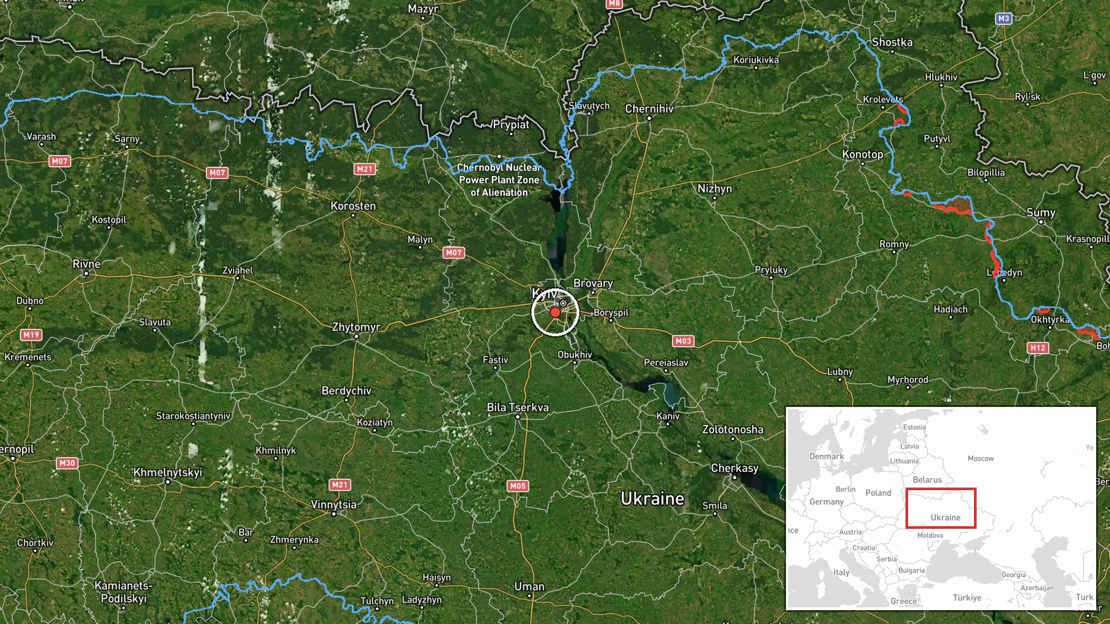
Coordinates 50.40 N, 30.45 E are at settlement precision, placed on the Zhuliany area of Kyiv as named in the alert, with location confidence rated high. The point is an approximate centroid rather than a specific building or facility. The area lies on the western side of the capital, with the airport and residential blocks as notable nearby features.
Related events nearby
- Ukrainian air monitoring: 1 Russian jet-powered Shahed (Geran-3) drone heading toward Zhuliany, Kyiv.2026-10-20 11:31 UTC · Drone Transit · Zhuliany, Kyiv, Ukraine
- Ukrainian air monitoring: 1 Russian jet-powered Shahed (Geran-3) drone heading toward Zhuliany, Kyiv.2026-10-20 11:05 UTC · Drone Transit · Zhuliany, Kyiv, Ukraine
- Ukrainian air monitoring: 1 Russian jet-powered Shahed (Geran-3) drone heading toward Zhuliany, Kyiv.2026-10-20 10:24 UTC · Drone Transit · Zhuliany, Kyiv, Ukraine
- Ukrainian air monitoring: 1 Russian jet-powered Shahed (Geran-3) drone heading toward Sovky.2026-10-20 10:42 UTC · Drone Transit · Sovky, Ukraine
- Ukrainian air monitoring: 1 Russian jet-powered Shahed (Geran-3) drone heading toward Teremky, Kyiv.2026-10-20 10:55 UTC · Drone Transit · Teremky, Kyiv, Ukraine
▶ View this event on the live map

Intel Mapper aggregates open-source reports from monitored Telegram and X channels, geolocates them, cross-checks duplicates across sources and assigns a confidence score. Entries are updated as new confirmations arrive. Read how we verify events.