Ukrainian air monitoring reports jet-powered Shahed drone heading toward Teremky, Kyiv
What happened
Ukraine's air monitoring channel on Telegram, @kpszsu, reported at 13:38 UTC on 20 October 2026 that a single Russian jet-powered Shahed-type drone, identified as a Geran-3, was heading toward Teremky, a residential area in Kyiv. The original Ukrainian wording, 'Реактивний БпЛА курсом на Теремки', translates roughly as 'jet-powered UAV on course to Teremky', and describes a flight track rather than a confirmed strike. The post does not report impact, casualties, or damage at the location. The item is classified as a drone transit, meaning the alert concerns the drone's movement and is not a verified detonation. It is currently single-sourced and has not been independently confirmed by other channels in the data.
Context and assessment
Teremky lies in southwestern Kyiv, within reach of the city's dense residential districts and the Dnipro river valley that runs through the capital. The same drone type has appeared repeatedly in the records for the Kyiv area on this date. Between 10:24 and 12:41 UTC, the data logs five earlier transit alerts for the same drone design, four of them heading toward Zhuliany and one toward Teremky at 10:55 UTC. The repetition suggests either several separate drones or repeated tracking of a single approach corridor, and the alerts cluster over roughly two and a half hours. The Geran-3 is a jet-powered variant of the Shahed family, which is generally understood to fly faster than the older piston-engined models and to be harder for interceptors to engage. Operationally, a sequence of alerts naming successive districts may indicate a sustained raid aimed at the capital rather than a single isolated target. Because the data contains no impact reports, the pattern is best read as indicating activity and threat direction, not confirmed targeting.
Sources and confidence
The report rests on one Telegram channel, @kpszsu, and no other source in the data corroborates it. The confidence score of 8.0 reflects the channel's role as an official Ukrainian air monitoring feed, which generally carries high weight for track warnings, offset by the lack of independent confirmation and the fact that a transit alert describes movement rather than an outcome. Confidence would rise if the report were matched by other official Ukrainian air force posts, by local Kyiv authorities, or by independent tracking data. It would fall if later updates revised the drone's heading, if the track were described as a decoy or a stray, or if no impact or interception was later logged for any of the linked alerts.
Location
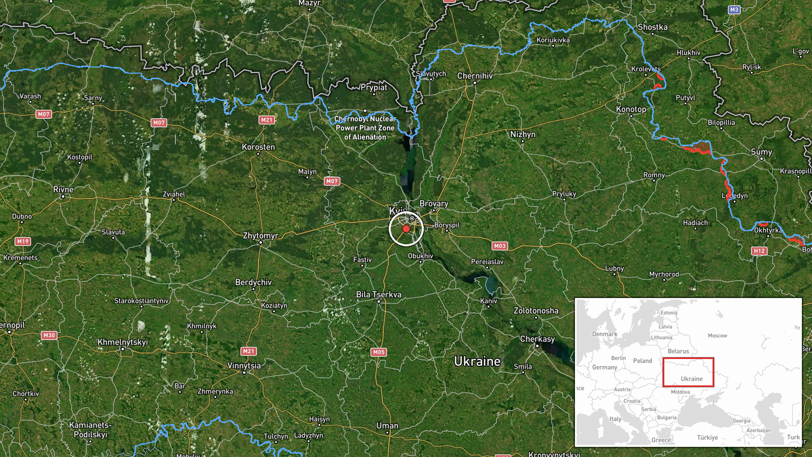
The location is recorded at settlement level, with coordinates 50.37 N and 30.45 E. The precision is high because the report names Teremky directly and the district is a known Kyiv locality, though the point may represent the area center rather than a specific building. Teremky sits on the southwestern side of the Ukrainian capital, with the Dnipro river valley and wooded parkland nearby. Nearby, Zhuliany, which appears in several linked alerts, lies within the same general sector of the city.
Related events nearby
- Ukrainian air monitoring: 1 Russian jet-powered Shahed (Geran-3) drone heading toward Teremky, Kyiv.2026-10-20 10:55 UTC · Drone Transit · Teremky, Kyiv, Ukraine
- Ukrainian air monitoring: 1 Russian jet-powered Shahed (Geran-3) drone heading toward Zhuliany, Kyiv.2026-10-20 12:41 UTC · Drone Transit · Zhuliany, Kyiv, Ukraine
- Ukrainian air monitoring: 1 Russian jet-powered Shahed (Geran-3) drone heading toward Zhuliany, Kyiv.2026-10-20 11:31 UTC · Drone Transit · Zhuliany, Kyiv, Ukraine
- Ukrainian air monitoring: 1 Russian jet-powered Shahed (Geran-3) drone heading toward Zhuliany, Kyiv.2026-10-20 11:05 UTC · Drone Transit · Zhuliany, Kyiv, Ukraine
- Ukrainian air monitoring: 1 Russian jet-powered Shahed (Geran-3) drone heading toward Zhuliany, Kyiv.2026-10-20 10:24 UTC · Drone Transit · Zhuliany, Kyiv, Ukraine
▶ View this event on the live map

Intel Mapper aggregates open-source reports from monitored Telegram and X channels, geolocates them, cross-checks duplicates across sources and assigns a confidence score. Entries are updated as new confirmations arrive. Read how we verify events.