Ukraine reports one jet-powered Geran-3 drone transiting near Khorol, Poltava Oblast
What happened
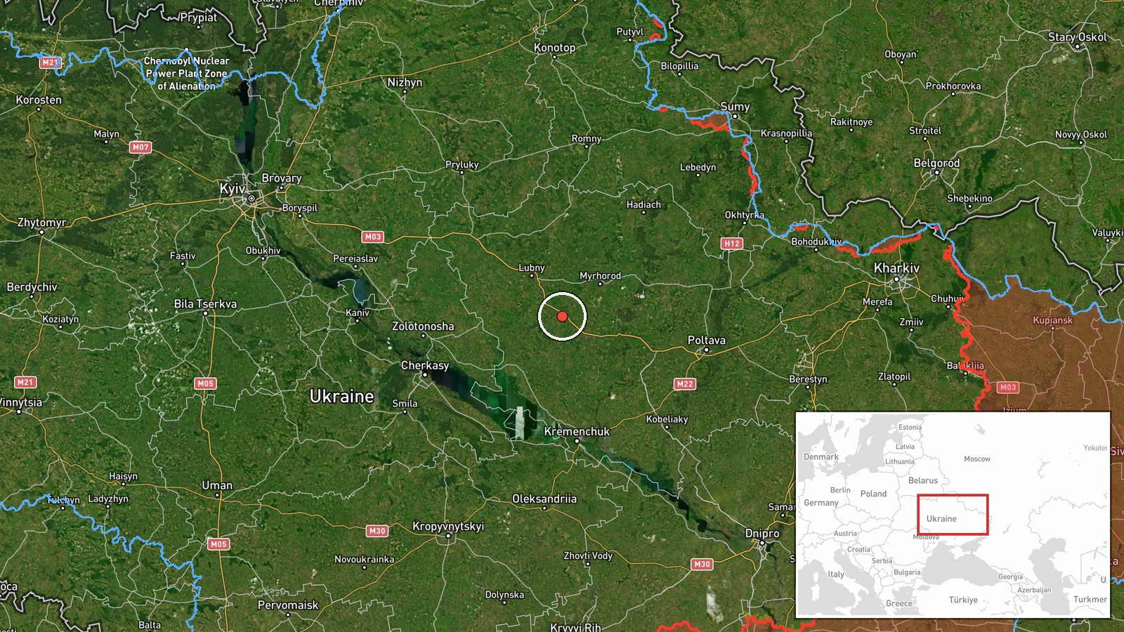
Ukraine's air monitoring reported on 21 October 2026, at 02:18 UTC, that one Russian jet-powered Shahed (Geran-3) drone was over or near Khorol in Poltava Oblast, travelling on a north-western heading. The report appeared as a short post on the Telegram channel @kpszsu, which is widely known as the official channel of the Ukrainian Air Force. The original Ukrainian wording, which translates roughly as a jet-powered UAV at or passing Khorol on a north-western course, describes transit rather than a strike. The post does not mention impacts, casualties, or air-defence engagement. It is one of a series of similar warnings issued the previous day across several central Ukrainian districts.
Context and assessment
Khorol lies within the same Poltava Oblast corridor as several warnings issued on 20 October. Reports that day describe groups of two or more Geran-3 drones heading toward Bilyky, moving from Dnipropetrovsk Oblast toward Novi Sanzhary, and crossing toward Poltava Oblast, followed by warnings for Lubny and Kremenchuk later in the evening. Taken together, the sequence suggests drones routed across a broad band of central Ukraine rather than a single targeted approach. The Geran-3 is the jet-powered variant of the Shahed family, generally faster than the piston-engined Geran-2 and intended to be harder to intercept. Such drones are typically used either as long-range strike munitions or as decoys to draw and exhaust air defences. A single drone on a north-western track near Khorol could be part of a wider routing toward targets further west or north, or simply a stray or decoy element of a larger wave. The data alone cannot show which, and the single-line format of the report gives no further detail on destination.
Sources and confidence
The event rests on a single Telegram channel, @kpszsu, and the data records no independent cross-confirmation from other Ukrainian official outlets, regional administrations, or news agencies. The assigned confidence score of 8.0 reflects a credible, official-seeming origin and a precise location, offset by the single-source basis and the terse wording. The record is not marked as corrected. Confidence would rise if regional military administrations, other air-monitoring channels, or local media reported the same transit, or if later reporting identified a specific impact. It would fall if a correction or retraction appeared, or if the drone's track were shown to differ from the stated north-western course.
Location
The location is recorded at settlement precision with high location confidence, placed at coordinates 49.78286, 33.27184, which correspond to the town of Khorol rather than a specific facility. Khorol is a small town in Poltava Oblast in central-eastern Ukraine, in a landscape of gently rolling plains, farmland, and river valleys typical of the region. The coordinates are a town-level reference point, so the drone's exact position relative to the settlement is not known from the report.
Related events nearby
- Ukrainian air monitoring: 2+ Russian jet-powered Shahed (Geran-3) drones heading toward Lubny.2026-10-20 16:52 UTC · Drone Transit · Lubny, Ukraine
- Ukrainian air monitoring: 1 Russian jet-powered Shahed (Geran-3) drone heading toward Kremenchuk.2026-10-20 19:06 UTC · Drone Transit · Kremenchuk, Ukraine
- Ukrainian air monitoring: 2+ Russian jet-powered Shahed (Geran-3) drones from Dnipropetrovsk Oblast toward Nov2026-10-20 15:11 UTC · Drone Transit · Novi Sanzhary, Ukraine
- Ukrainian air monitoring: 2+ Russian jet-powered Shahed (Geran-3) drones heading toward Bilyky.2026-10-20 13:10 UTC · Drone Transit · Bilyky, Ukraine
- Ukrainian air monitoring: 2+ Russian jet-powered Shahed (Geran-3) drones from Dnipropetrovsk Oblast toward Pol2026-10-20 16:30 UTC · Drone Transit · Poltava Oblast, Ukraine
▶ View this event on the live map

Intel Mapper aggregates open-source reports from monitored Telegram and X channels, geolocates them, cross-checks duplicates across sources and assigns a confidence score. Entries are updated as new confirmations arrive. Read how we verify events.